Saint-Jean-de-Bœuf
- ≈ 1.8 km from the nearest turbine
- 12 videos
- 24 images
- 47.2136, 4.7487
Photomontages and video montages showing the potential visual impact of the Grands Communaux wind farm project on the commune of Saint-Jean-de-Bœuf.
The turbines in Antheuil will be especially visible from the southern part of the village. They will be visible from the panoramic viewpoint overlooking the Ouche valley. Together, the 13 turbines of Saint-Jean-de-Bœuf and Antheuil will dominate the plateau.
In all our photos and videos, therefore, the turbines shown have a hub height of 115 m and a rotor diameter of 130 m (65 m blades), giving a tip height of 180 m. By comparison, the turbines at Bessey-en-Chaume are 130 m to the blade tip. The turbines are shown to scale, but in reality they will be far more visible than digital projections can show.
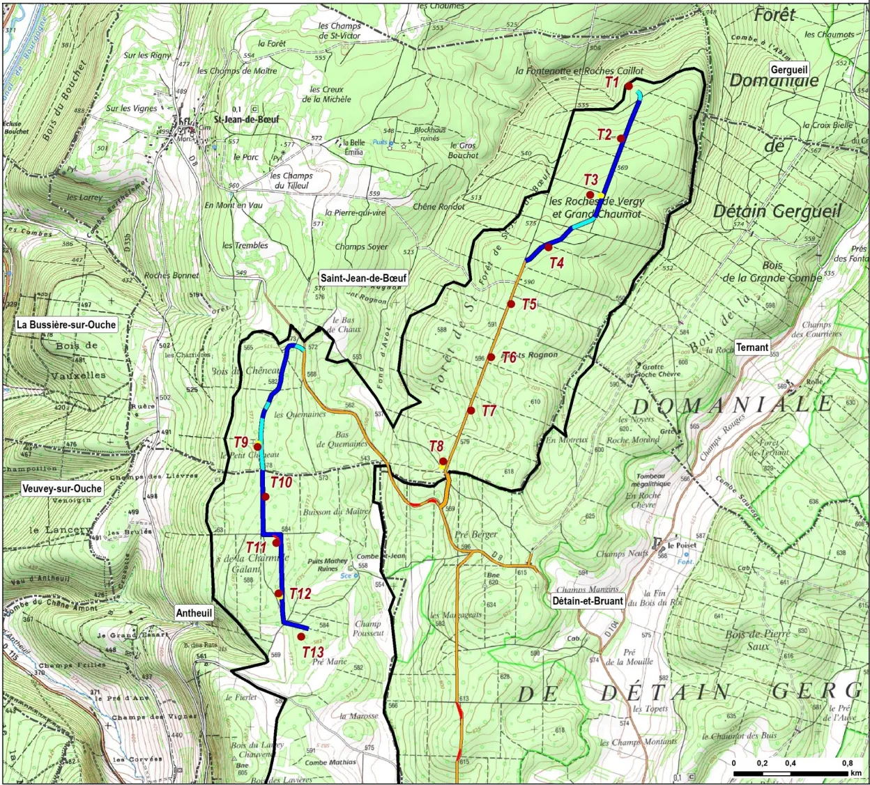
The turbines are numbered T1–T13. T1–T8 are in the Saint-Jean-de-Bœuf sector; T9–T13 are in the Antheuil sector. For more information, see the project overview and the project map (right).
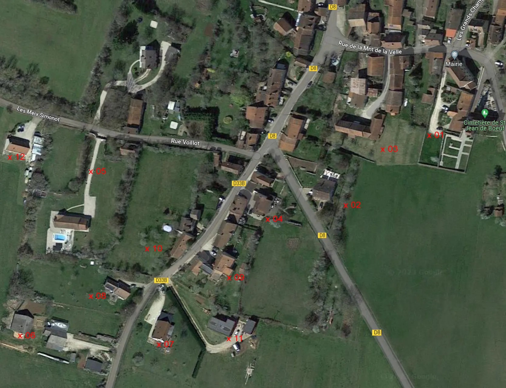
All locations are given as WGS84 coordinates (latitude/longitude) for use in Google Maps.
Videos
All the videos show a 47° field of view, which matches the human field of vision. Videos may take a moment to load. They can be enlarged to full screen.
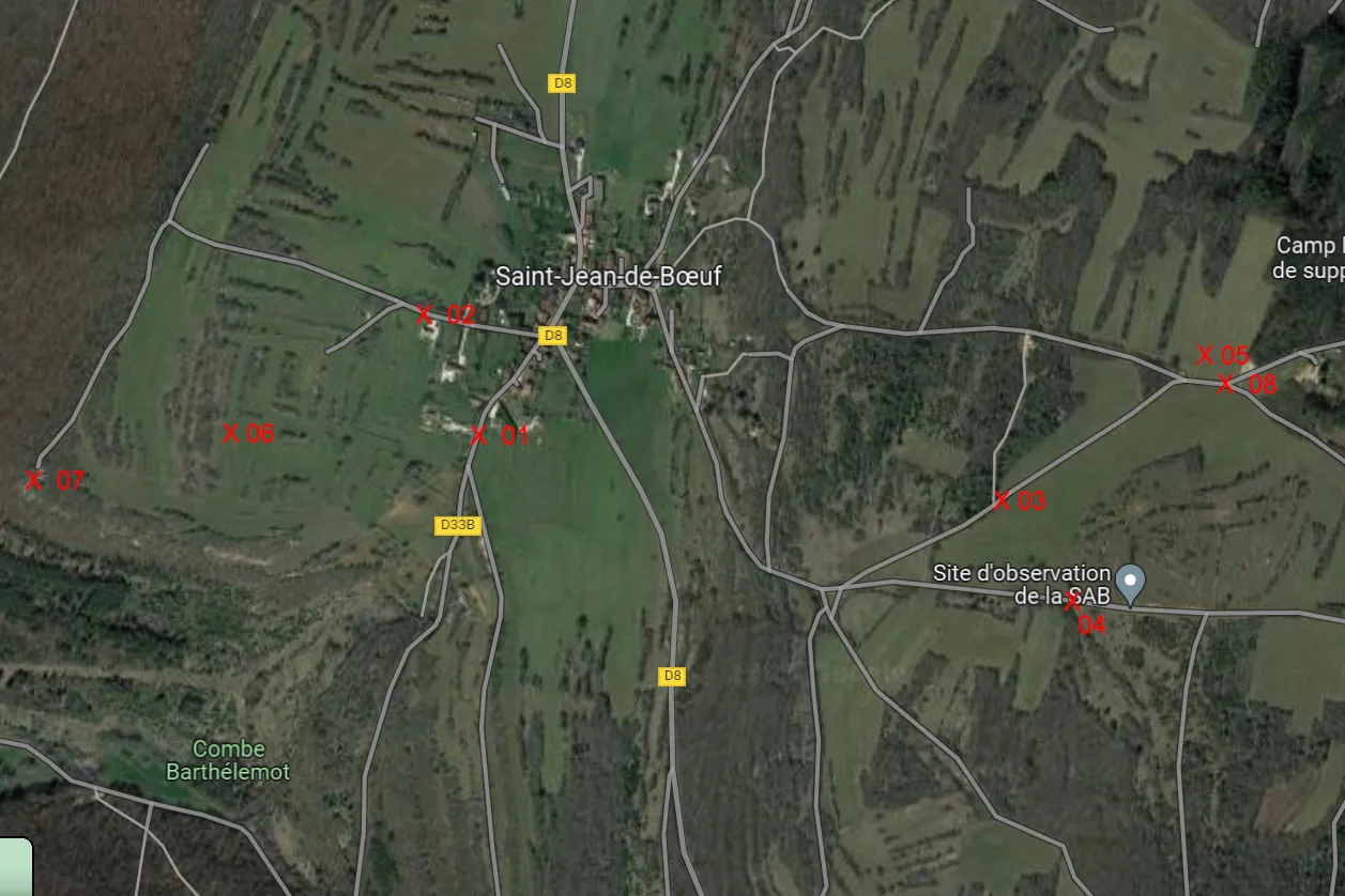 Carte des lieux
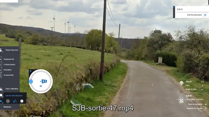 Sortie sud D33B (L 01)Video
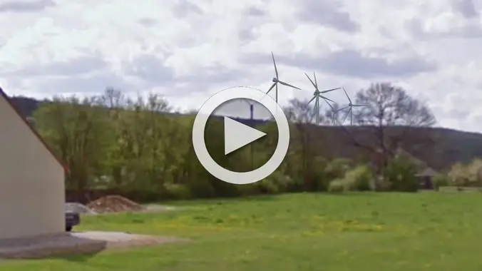 Rue Voillot (L 02)Video
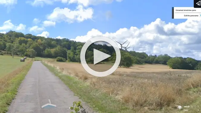 Sortie sud-est, D8Video
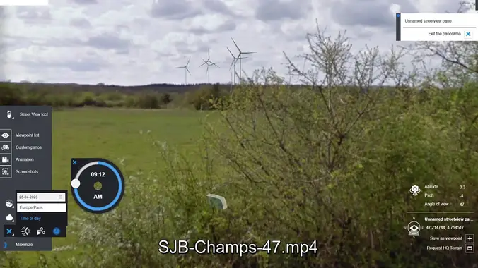 Champs du Tilleul nord (L 03)Video
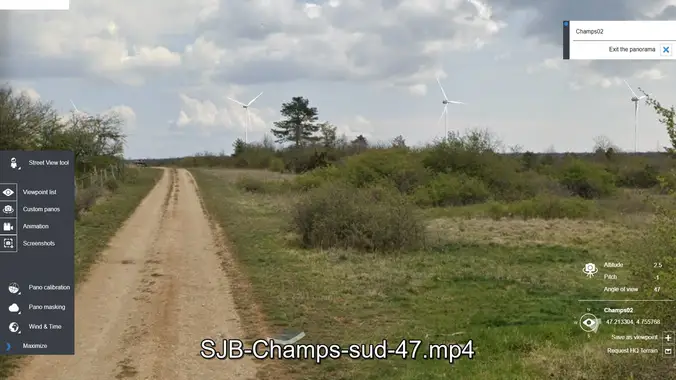 Champs du Tilleul sud (L 04)Video
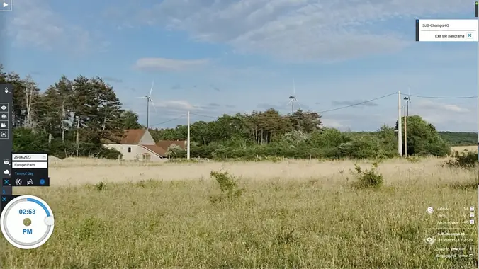 La Belle Emilia (L 05)Video
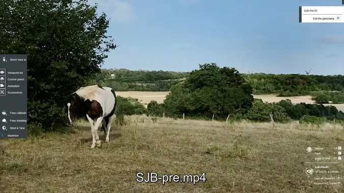 L'ouest du village (L 06)Video
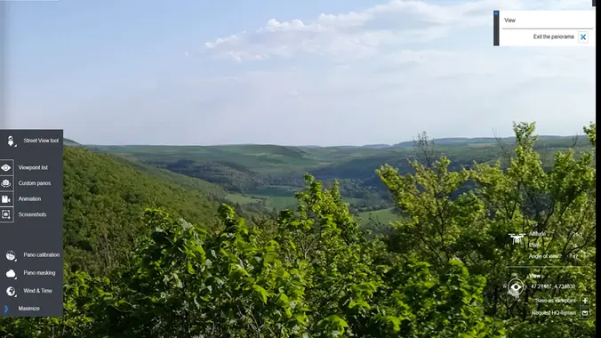 Depuis le belvédère (L 07)Video
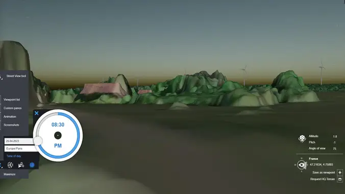 La Belle Emilia, nuit (L 08)Video
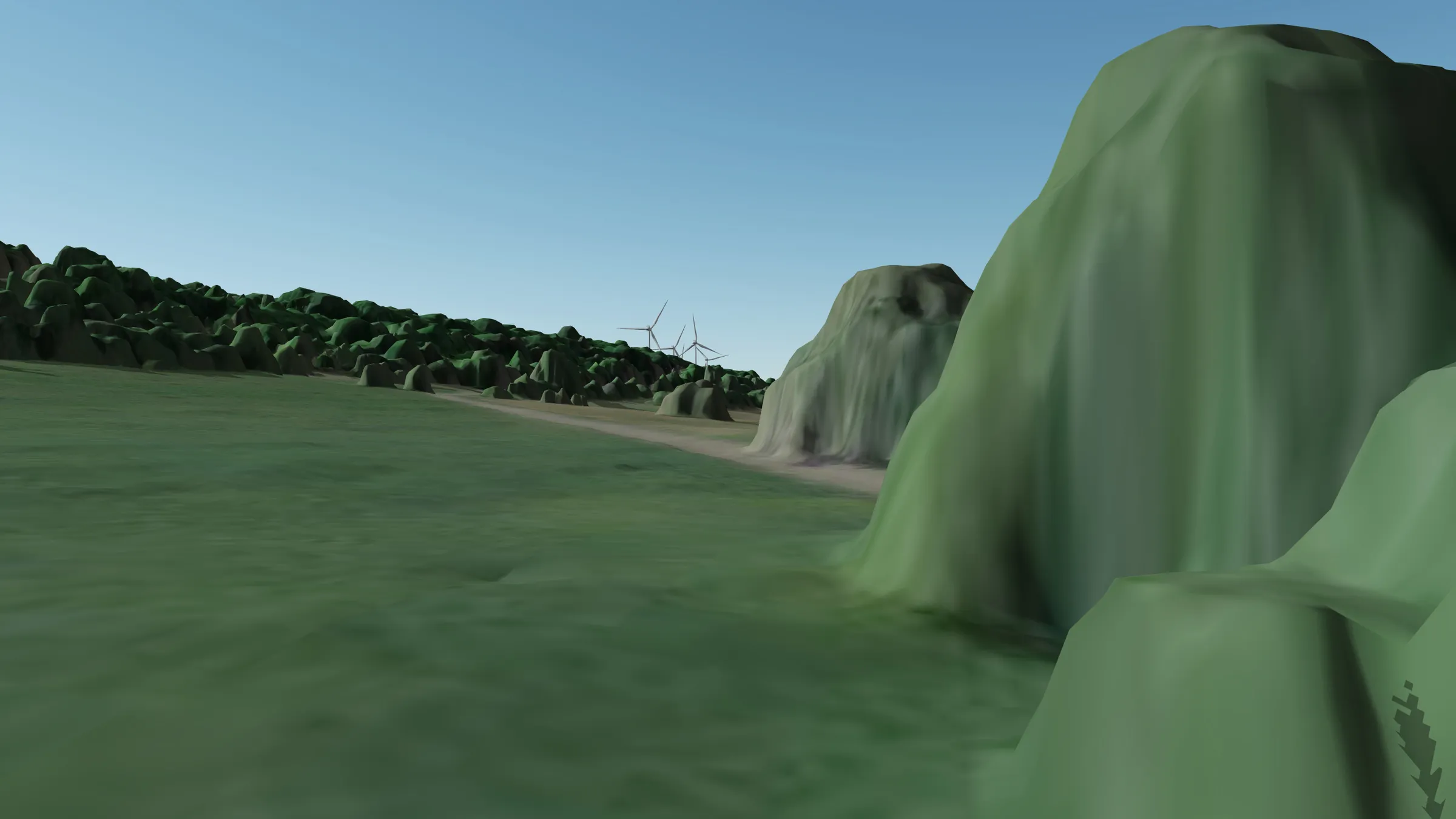
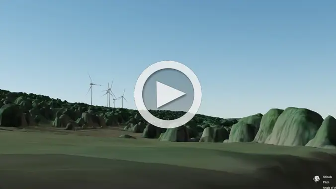 Sortie sud D33B (L 01), MNS IGNVideo
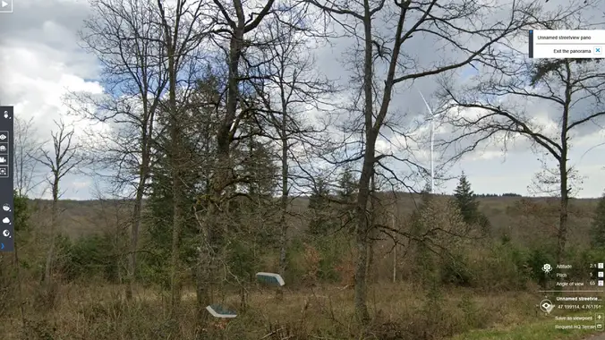 D8, dir Détain (L 09)Video
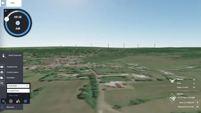 Vue d'ensembleVideo
Photomontages
Click a photo to start the slideshow.
Carte des lieux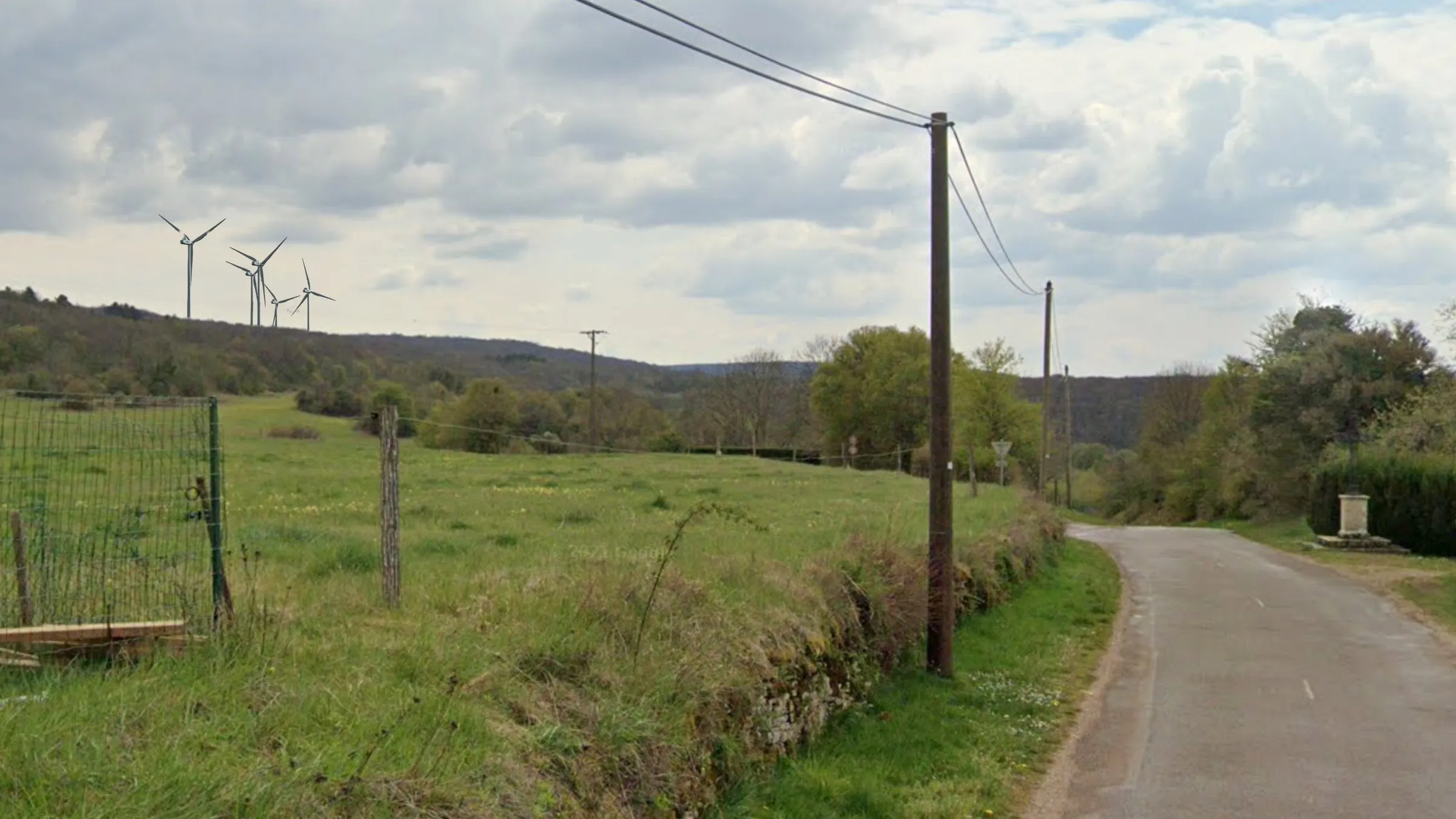 Sortie sud du village (L 01)
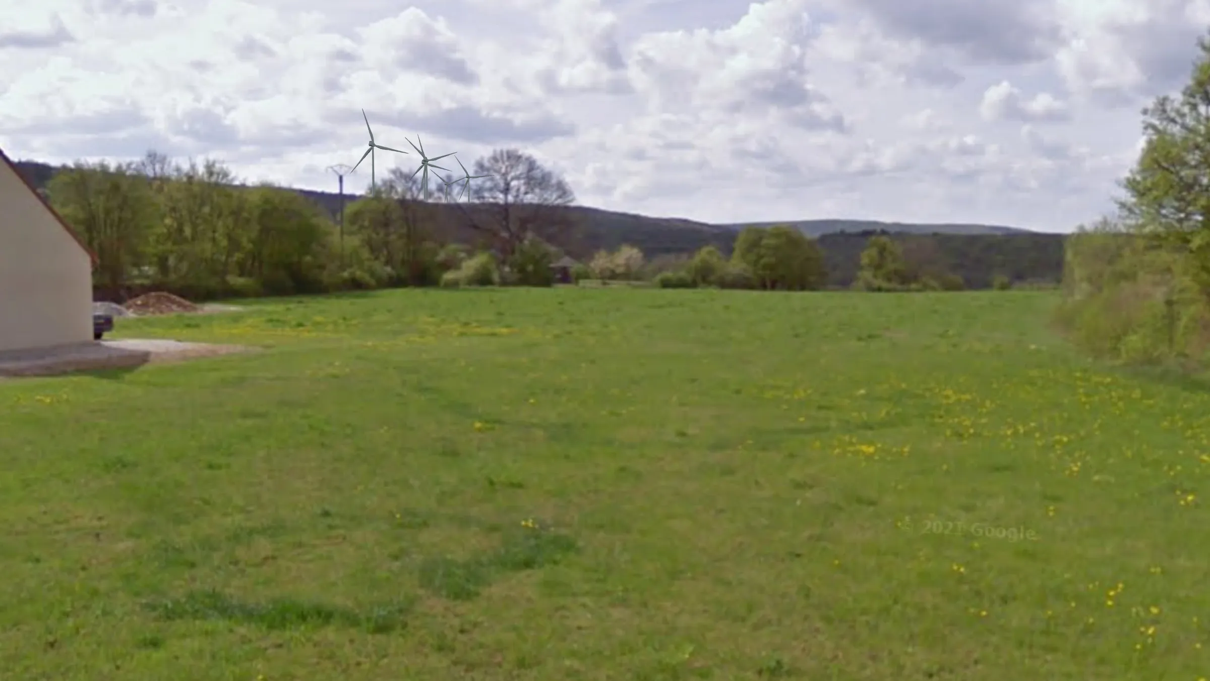 Rue Voillot (L 02)
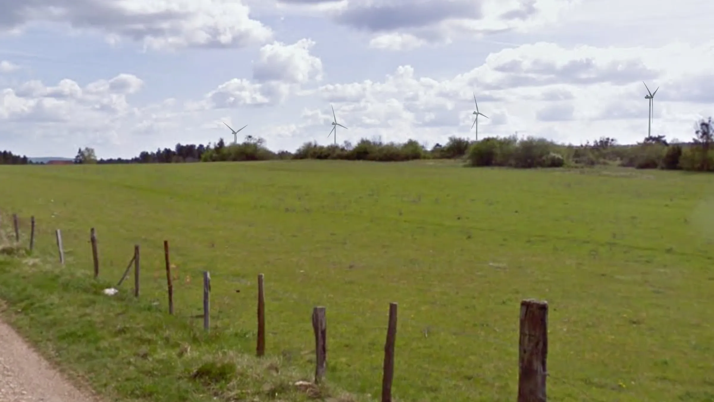 Champs du Tilleul nord (L 03)
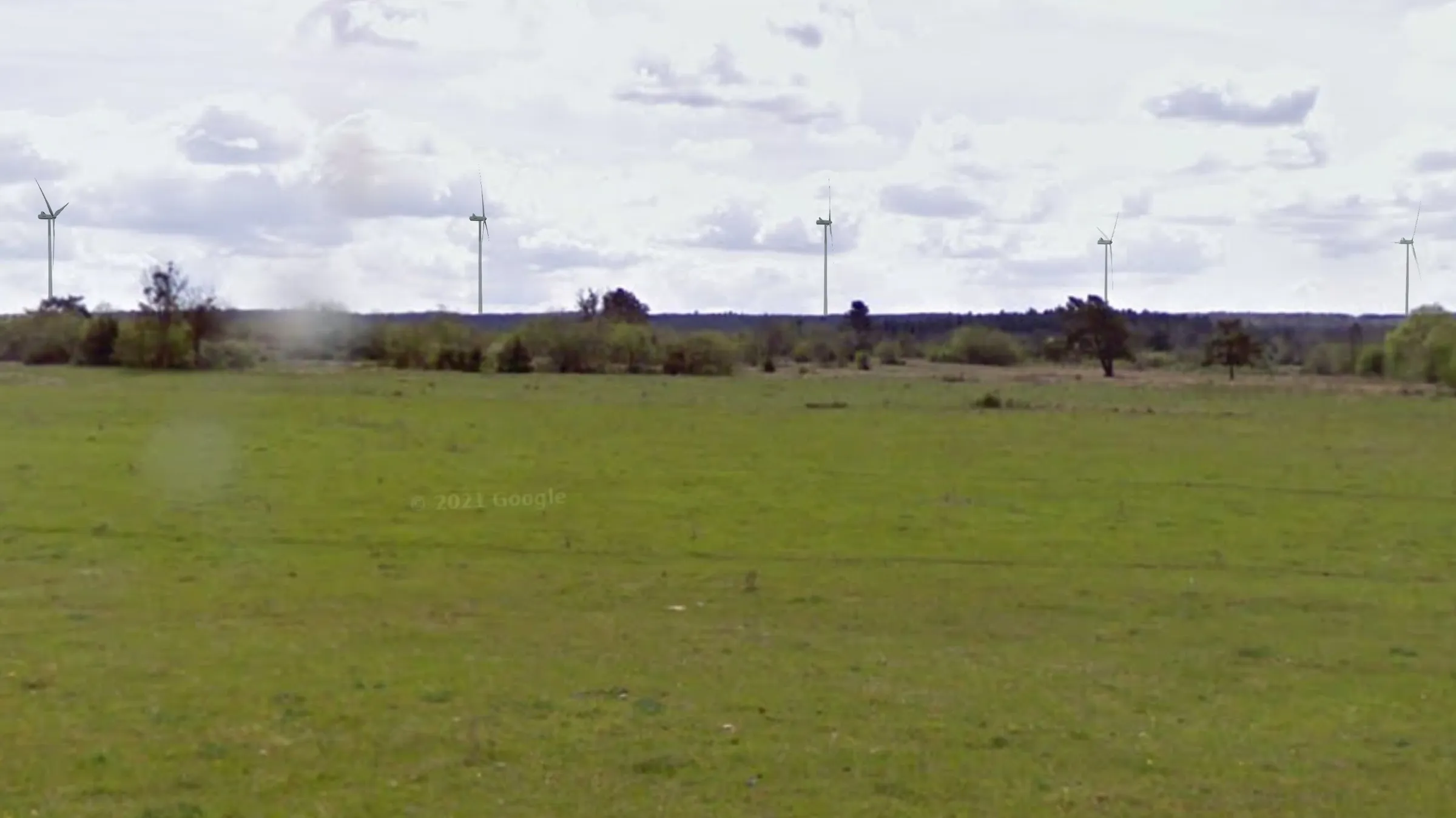 Champs du Tilleul nord (L 03)
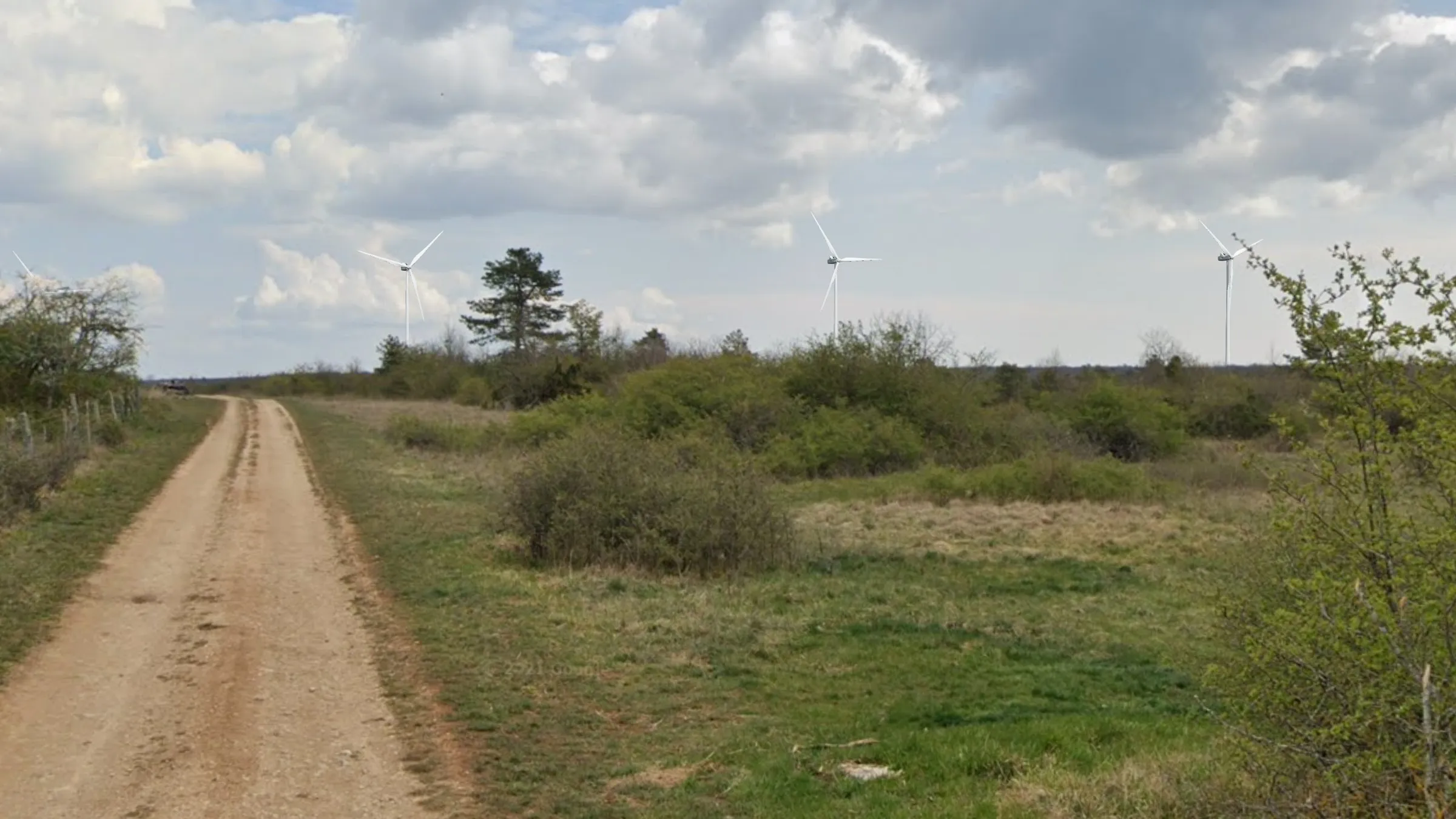 Champs du Tilleul sud (L 04)
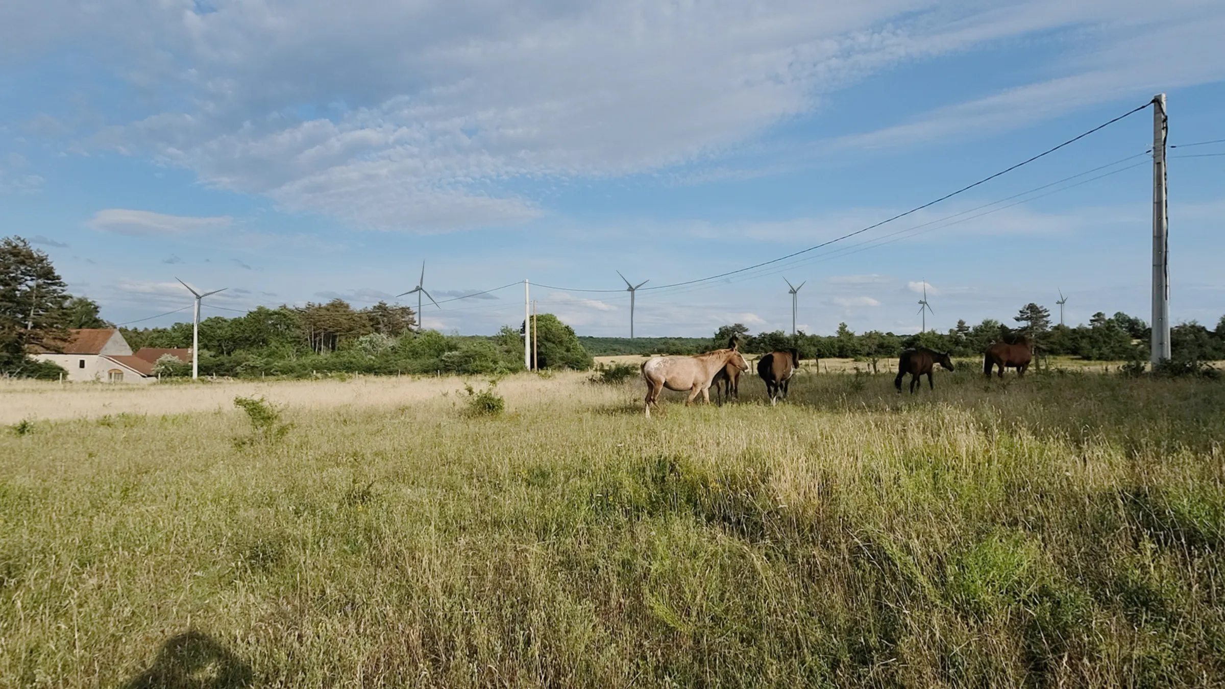 La Belle Emilia (L 05)
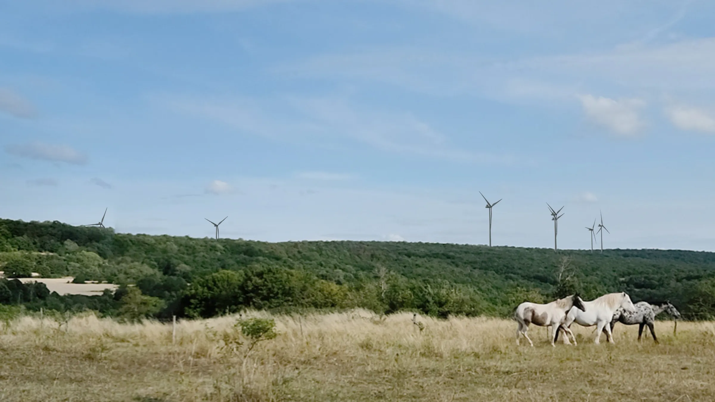 Ouest du village (L 06)
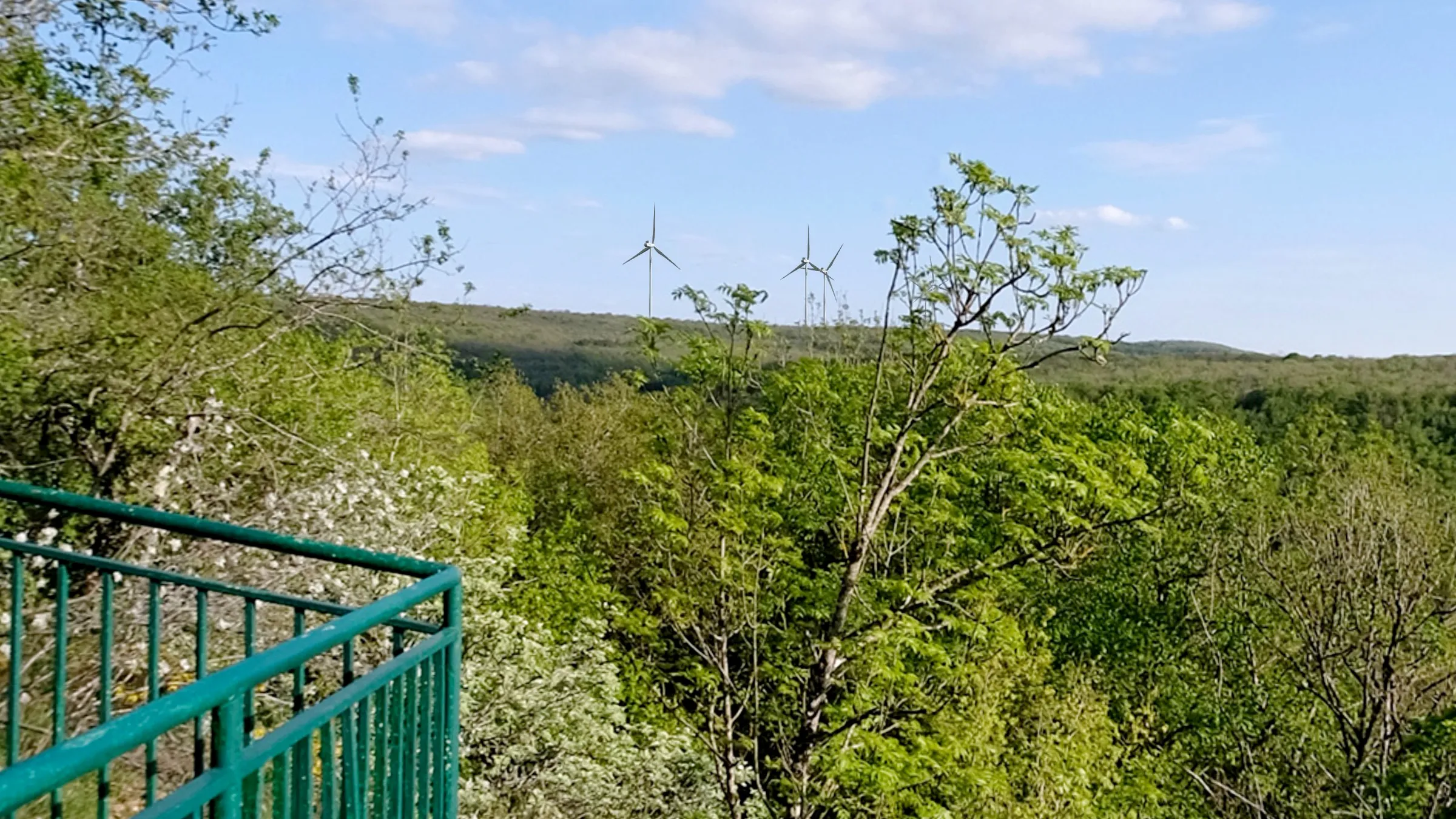 Depuis le belvédère (L 07)
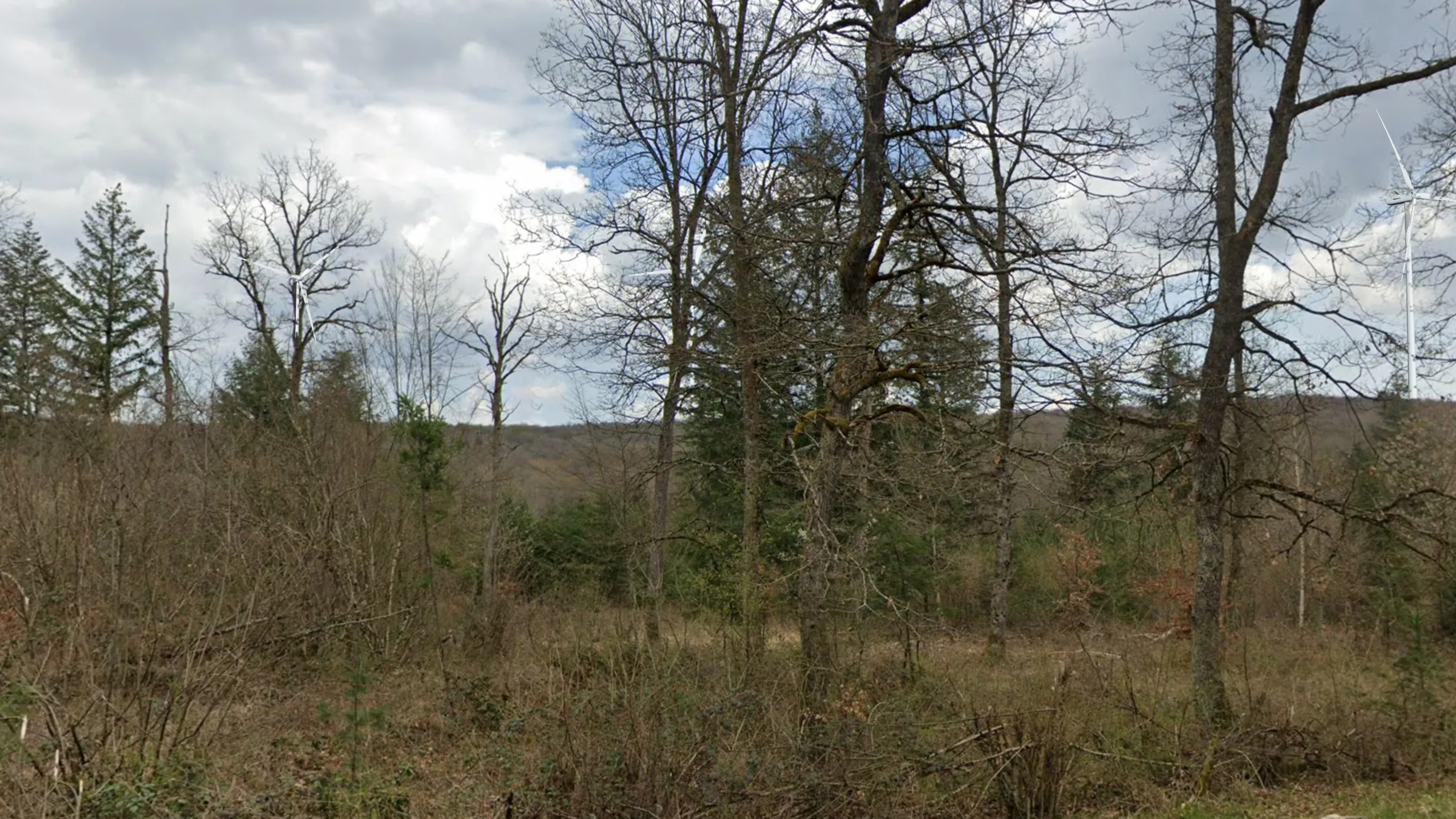 D8, dir Détain (L 09)
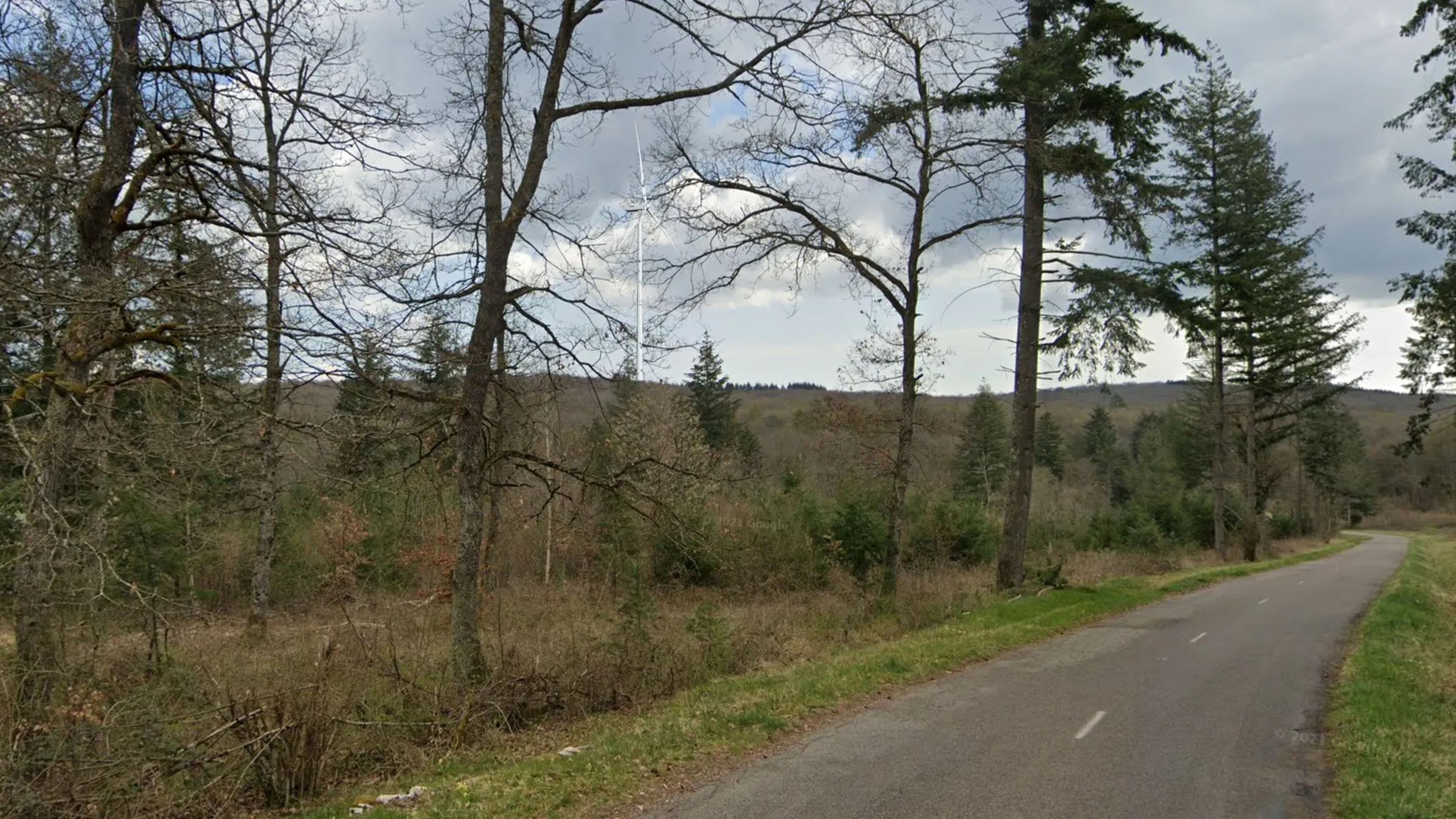 D8, dir Détain (L 09)
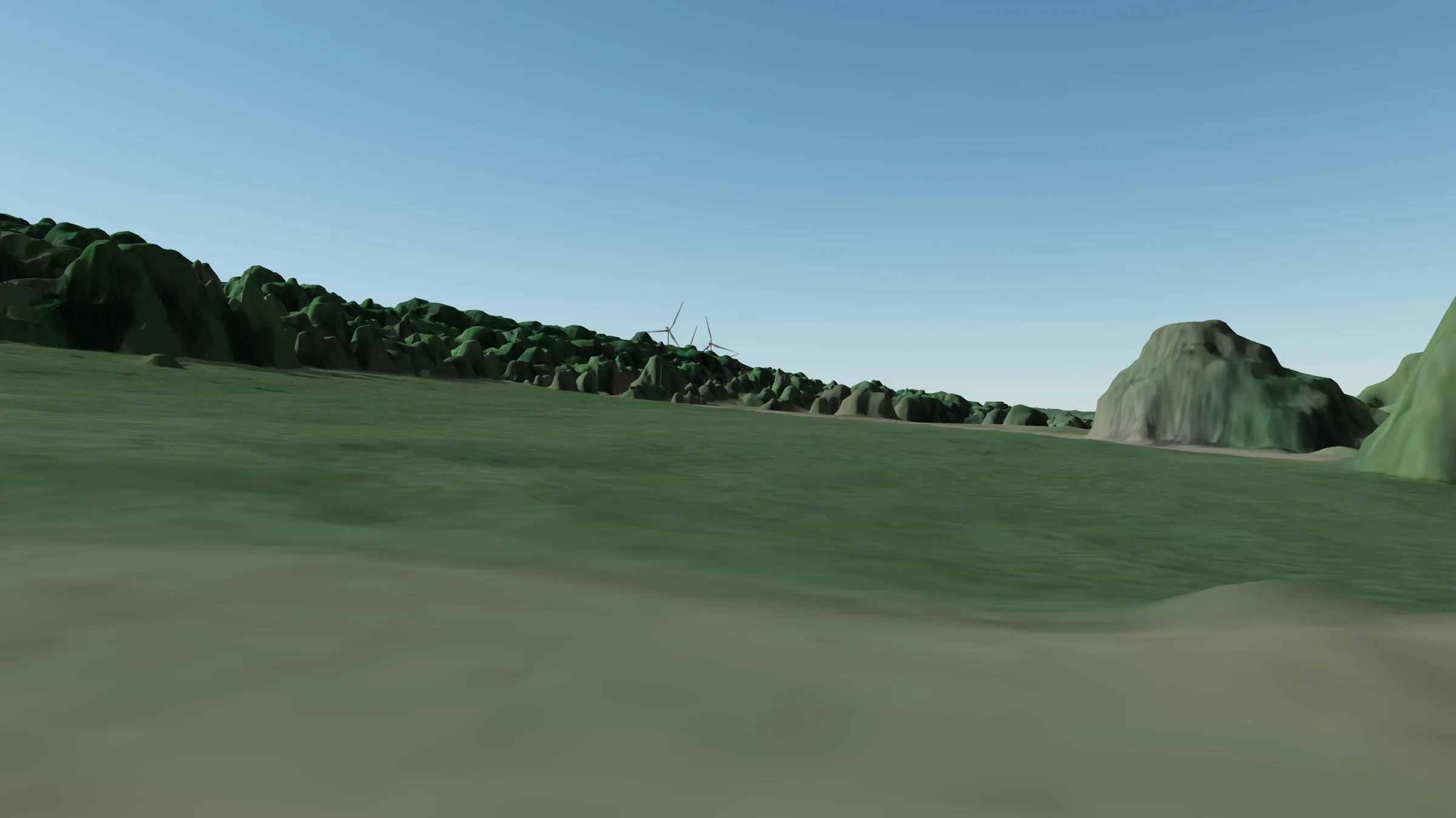
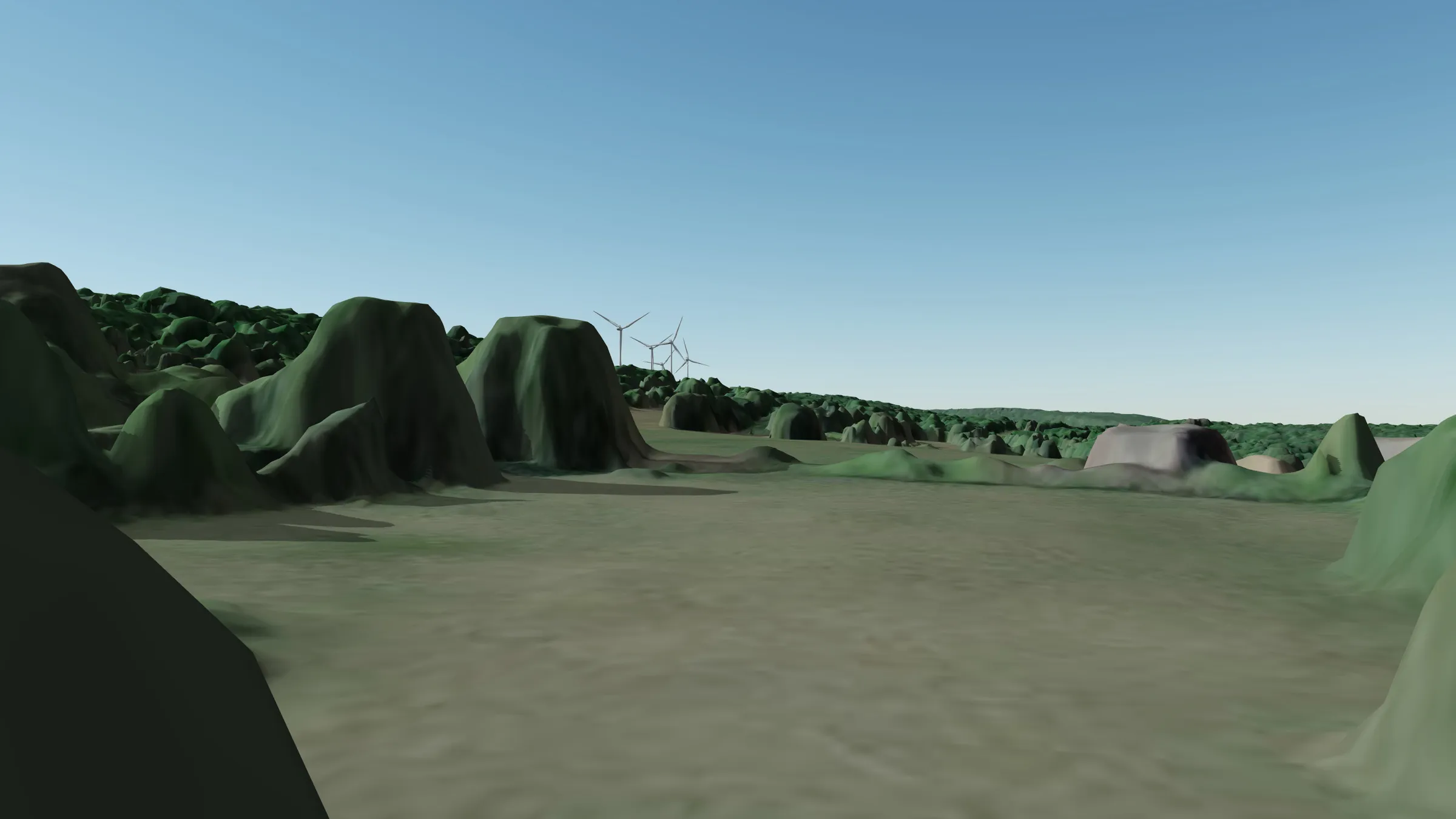
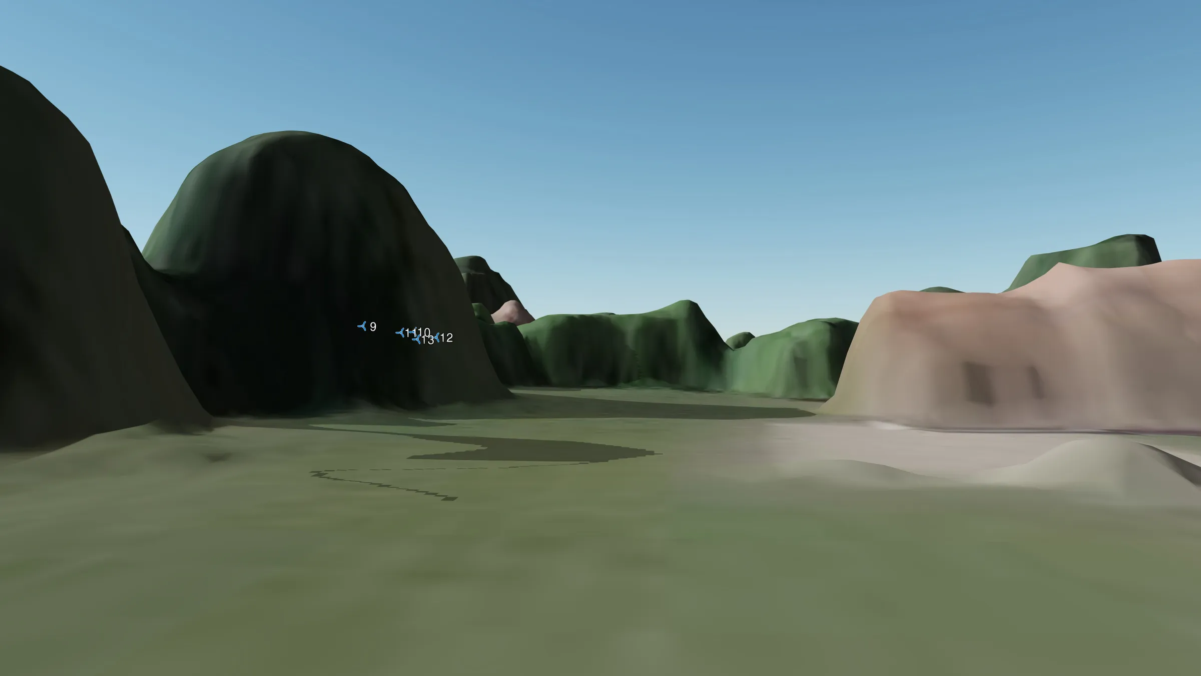
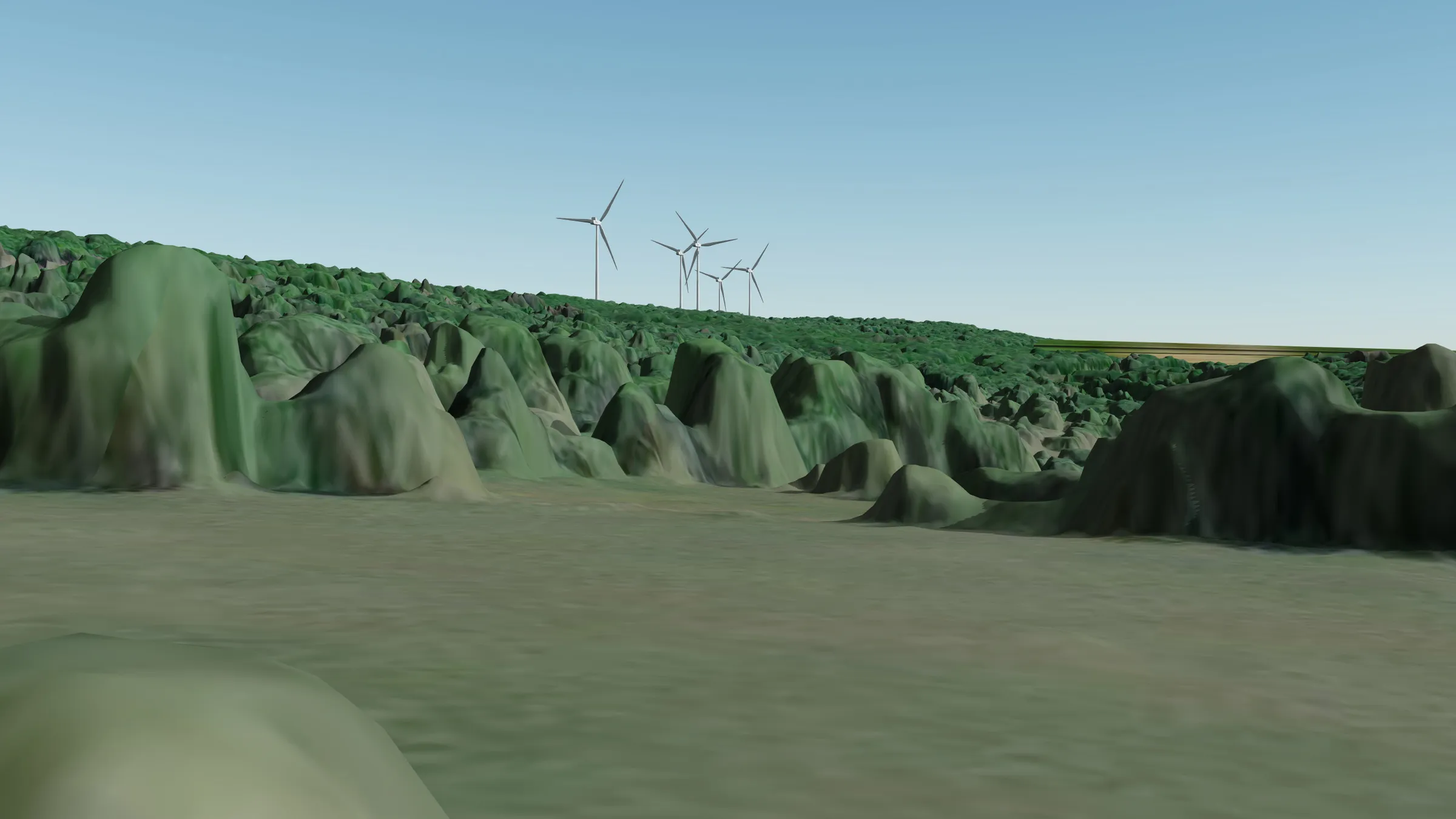
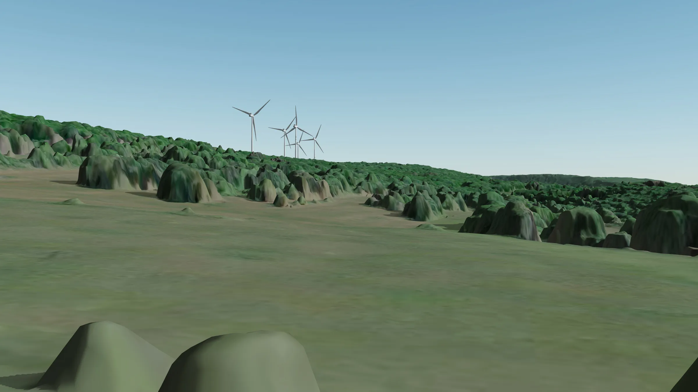
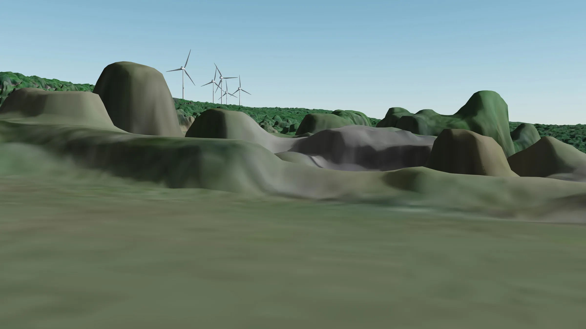
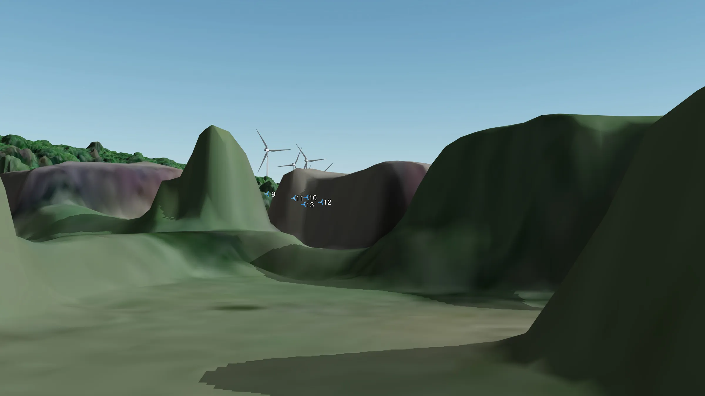
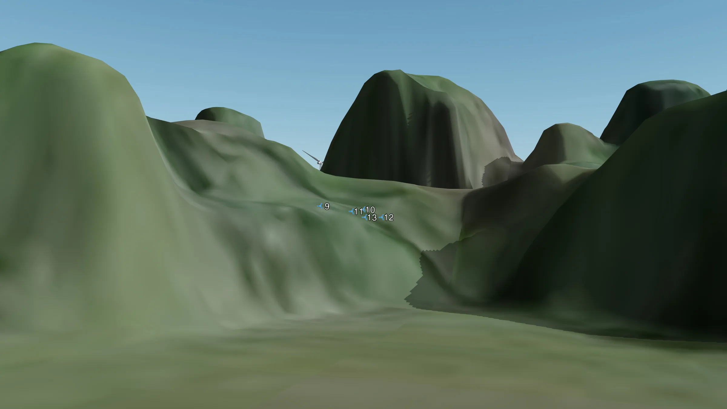
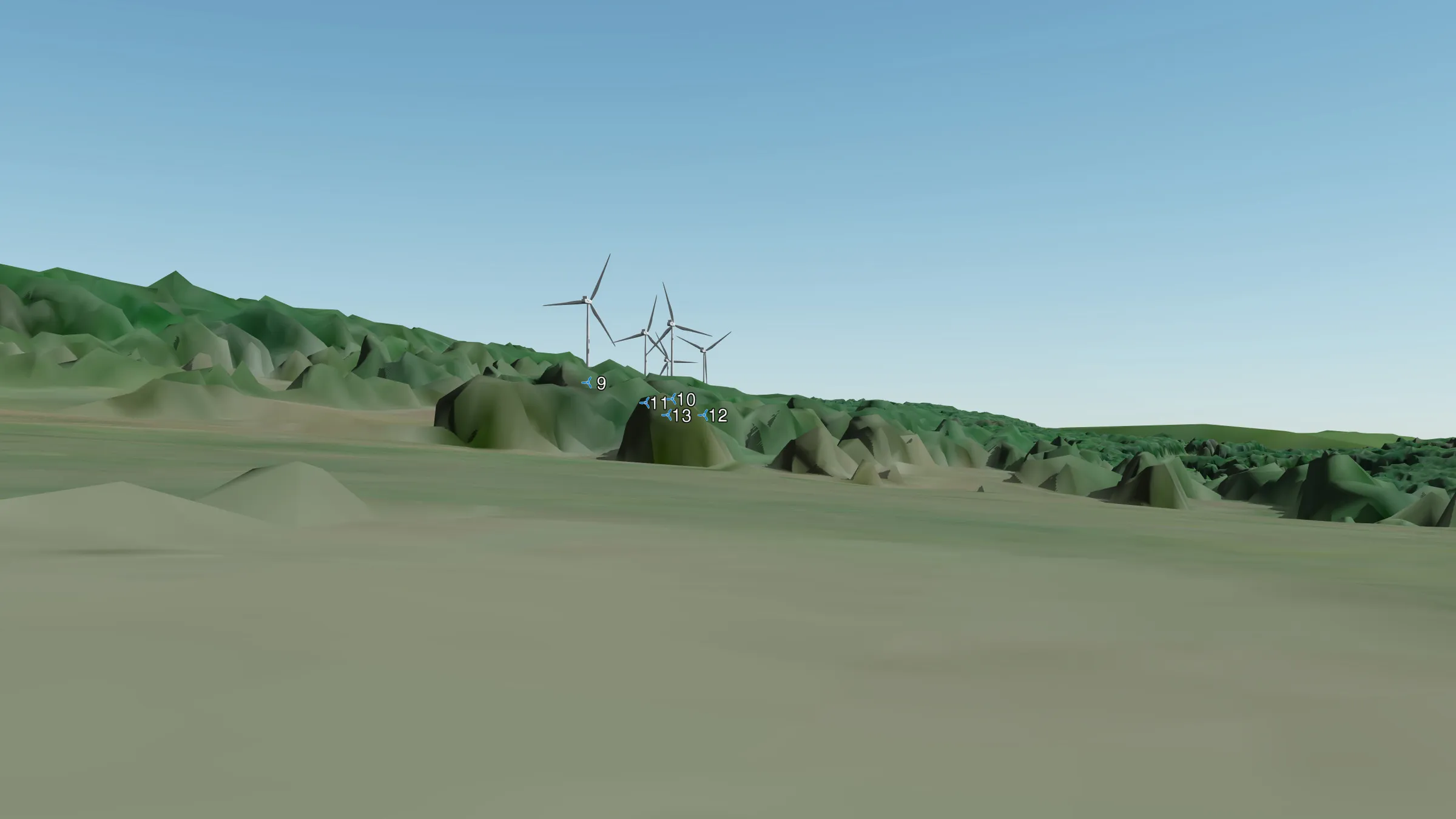
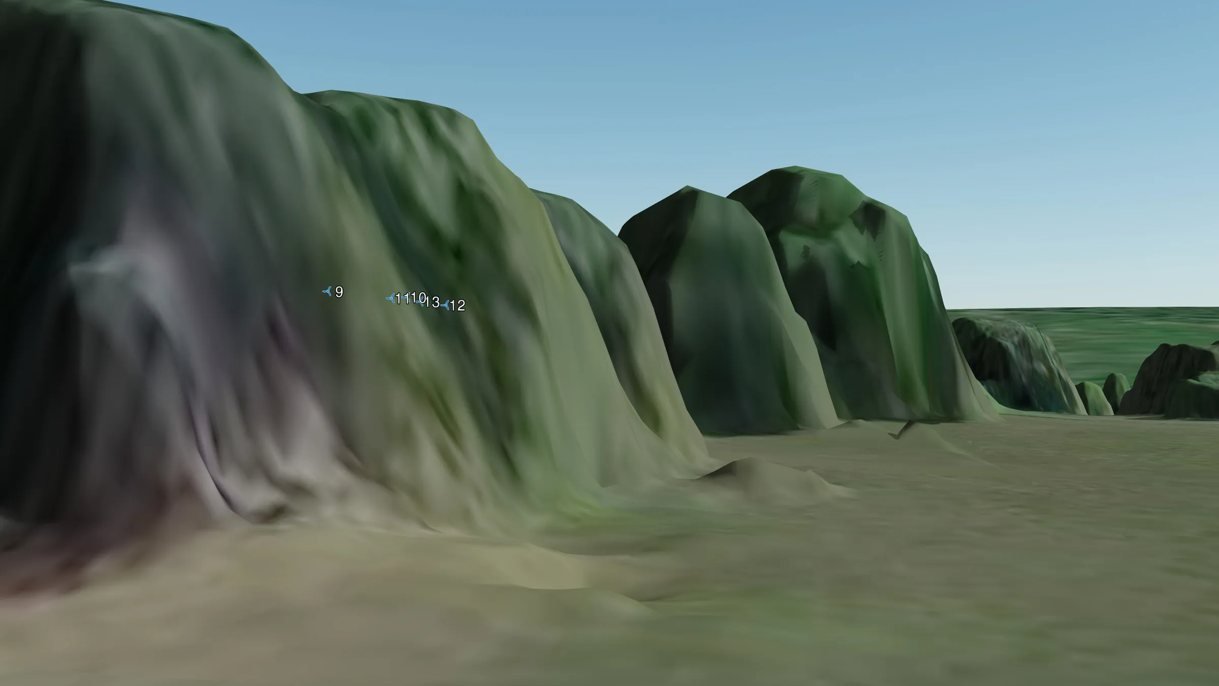
Digital surface model (DSM) views
This series of simulations shows how visible the turbines will be from specific places in the village, using a 1 m resolution digital surface model (DSM) from the French national mapping agency (IGN). It accurately models the effect of everything that stands above the ground (buildings, trees and so on) on the view. All the images show an eye-level view (1.6 m above the ground).
Click a photo to start the slideshow.