Brochon (west)
- ≈ 12.1 km from the nearest turbine
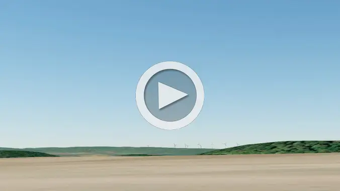
- 1 video
- 6 images
- 47.2400, 4.9450
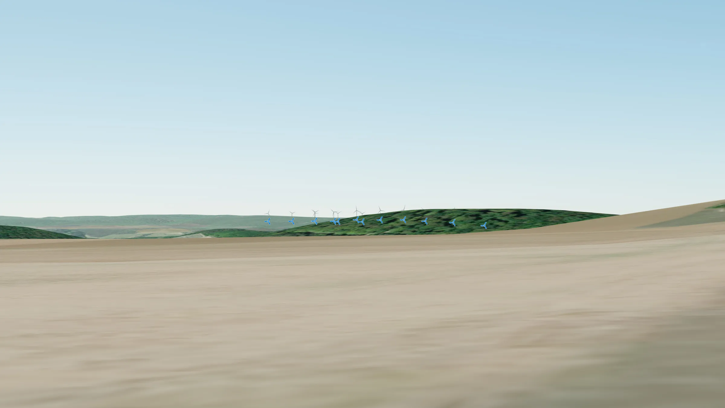
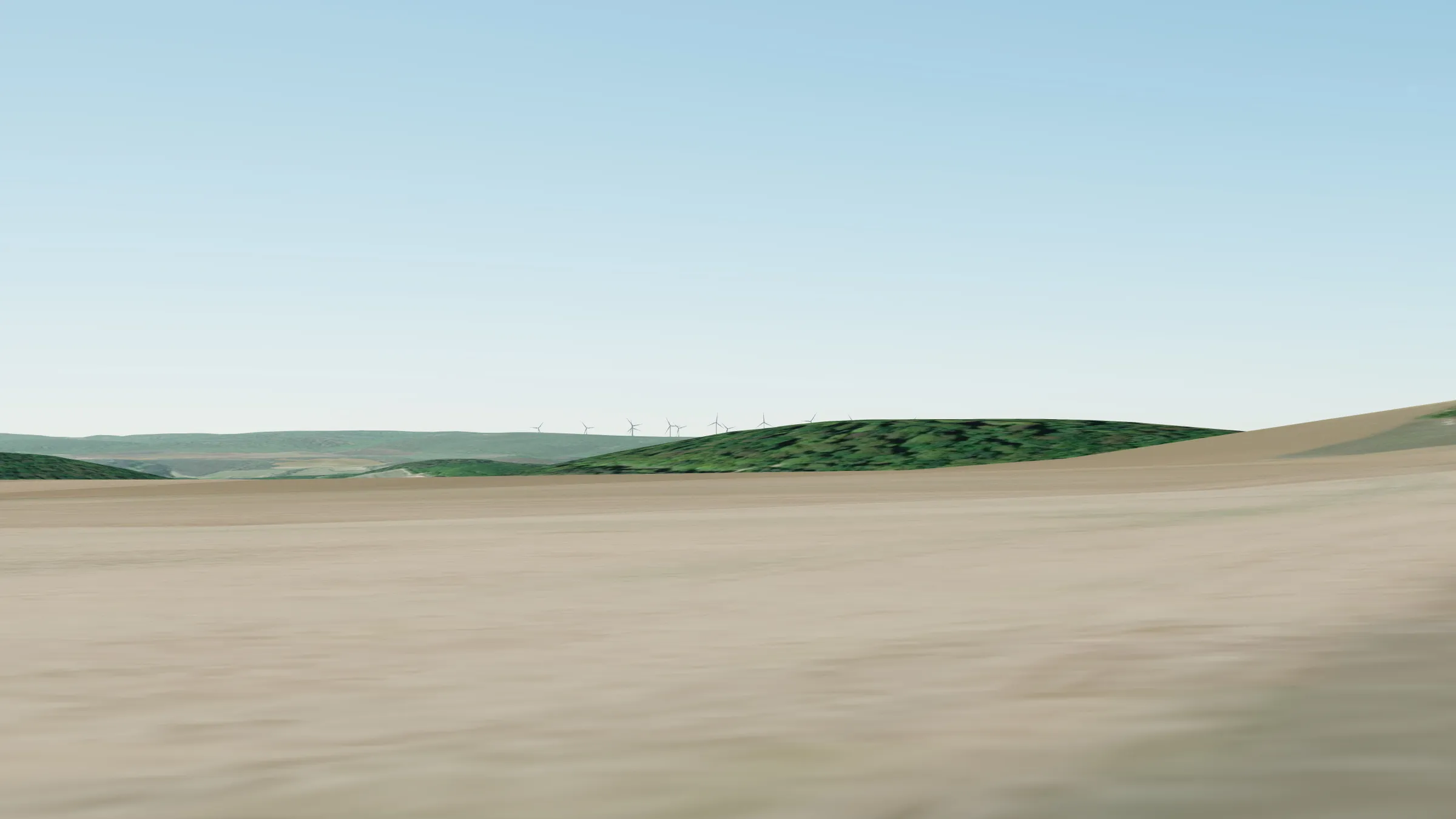
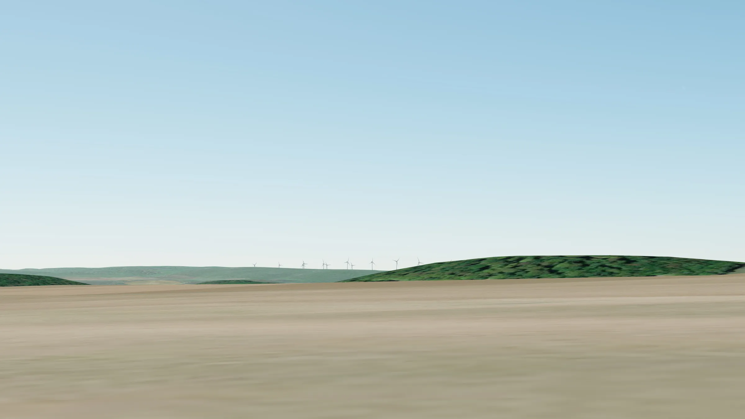
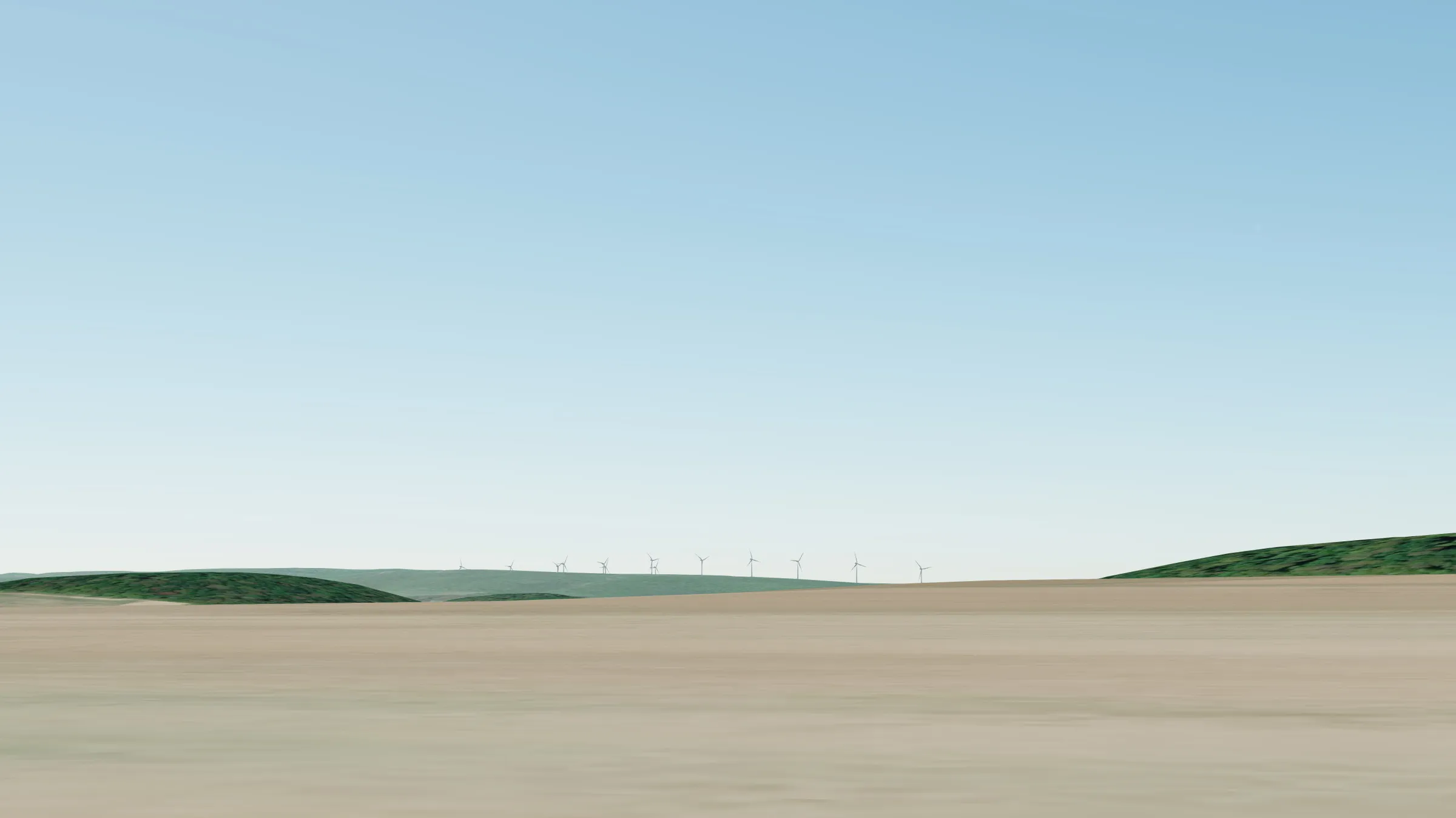
Video montages showing the potential visual impact of the Grands Communaux wind farm project on the commune of Brochon.
In all the photos and videos, the turbines shown have a hub height of 115 m and a rotor diameter of 130 m, giving a tip height of 180 m. By comparison, the turbines at Bessey-en-Chaume are 130 m to the blade tip. The turbines are shown to scale, but in reality they will be far more visible than digital projections can show.
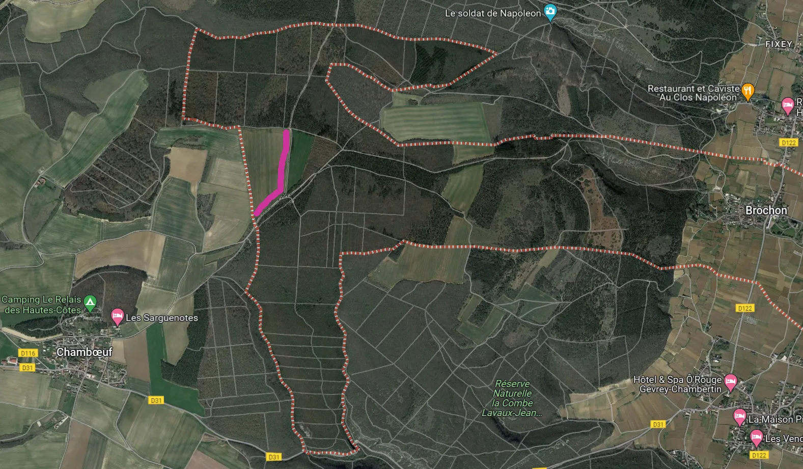
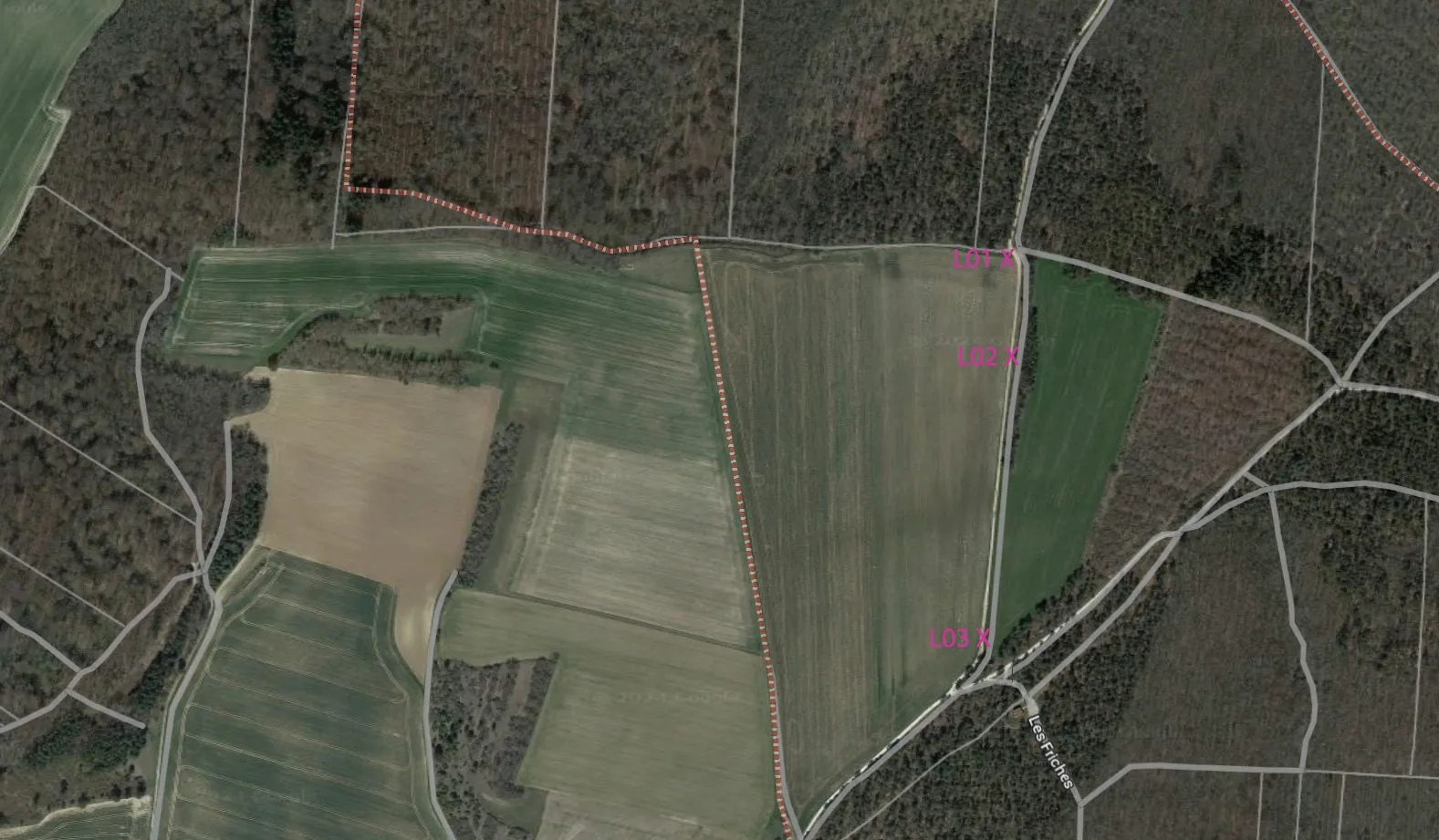
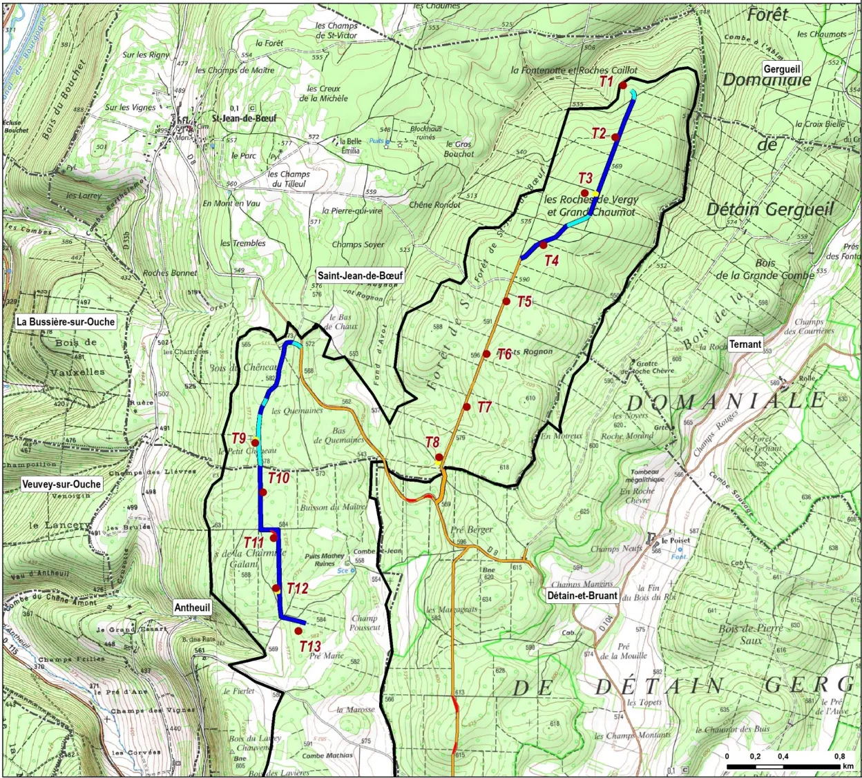
The turbines are numbered T1–T13. T1–T8 are in the Saint-Jean-de-Bœuf sector; T9–T13 are in the Antheuil sector. For more information, see the project overview and the project map (right). All locations are given as WGS84 coordinates (latitude/longitude) for use in Google Maps.
Videos and photos
Most or all of the Grands Communaux project will be visible from parts of the western edge of the commune of Brochon (those with an open view south-east towards Chambœuf). The turbines in the Saint-Jean-de-Bœuf sector (T1–T8) are 10.7–12.8 km away. The turbines in the Antheuil sector (T9–T13) are partly visible at 14–14.4 km.
The photos and videos show a 45° field of view, which matches the human field of vision. Videos may take a moment to load. They can be enlarged to full screen. These simulations were made with the Cesium Ion digital terrain model.