La Bussière-sur-Ouche
- ≈ 4 km from the nearest turbine
- 13 videos
- 25 images
- 47.2180, 4.7088
Photomontages and video montages showing the potential visual impact of the Grands Communaux wind farm project on the commune of La Bussière-sur-Ouche.
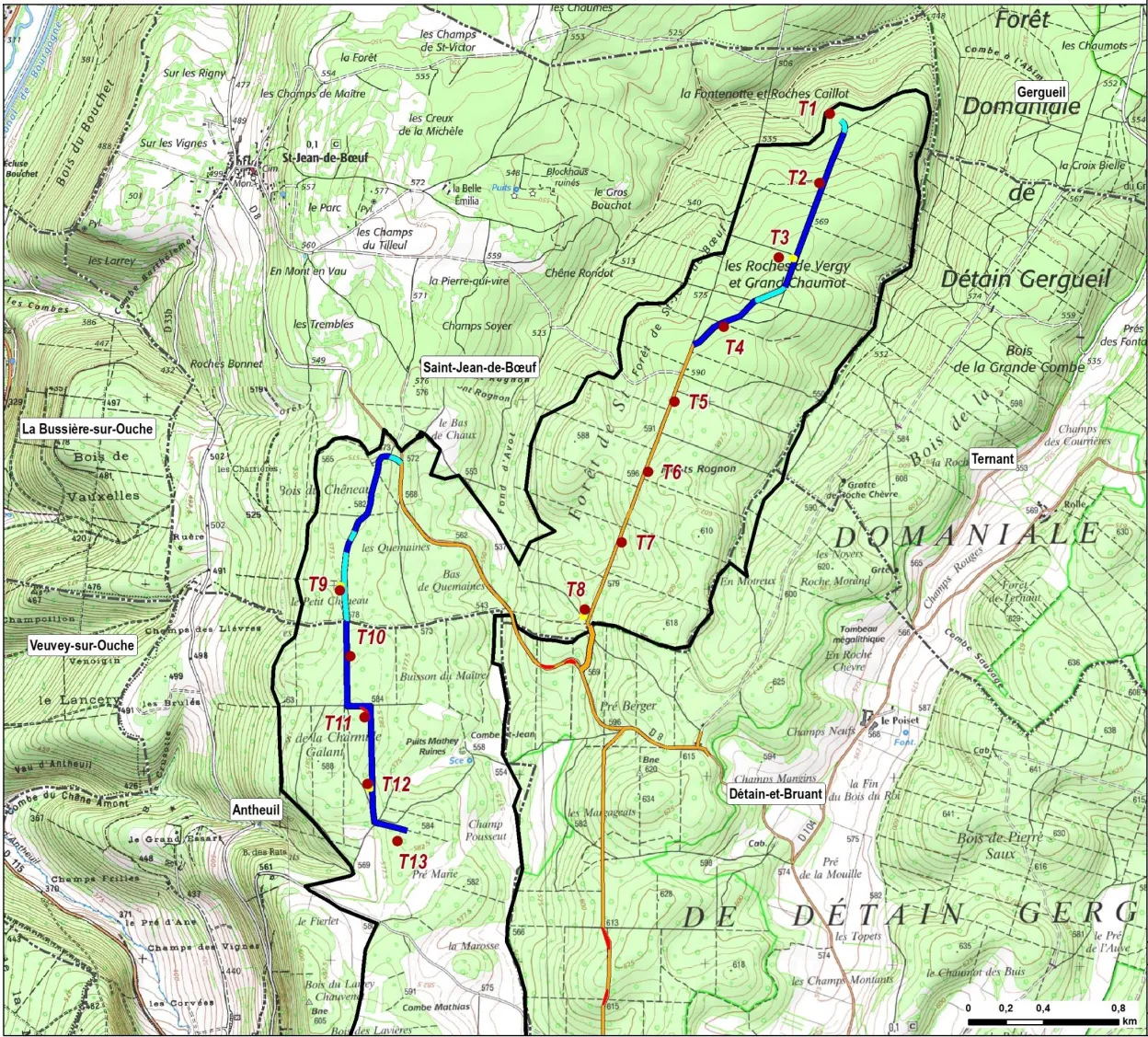
In all the photos and videos, the turbines shown have a hub height of 115 m and a rotor diameter of 130 m, giving a tip height of 180 m. By comparison, the turbines at Bessey-en-Chaume are 130 m to the blade tip. The turbines are shown to scale, but in reality they will be far more visible than digital projections can show.
The turbines are numbered T1–T13. T1–T8 are in the Saint-Jean-de-Bœuf sector; T9–T13 are in the Antheuil sector. For more information, see the project overview and the project map (right).
All locations are given as WGS84 coordinates (latitude/longitude) for use in Google Maps.
Videos
The videos show a 47° field of view, which matches the human field of vision.
Videos may take a moment to load. They can be enlarged to full screen.
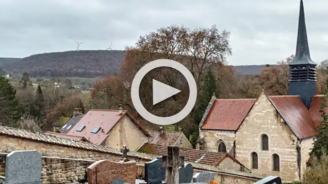 Le cimetière, vue sur l'église abbatialeVideo
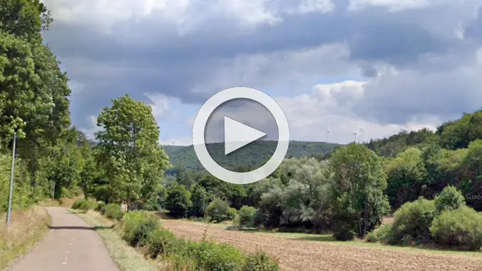 Pontonnière 01Video
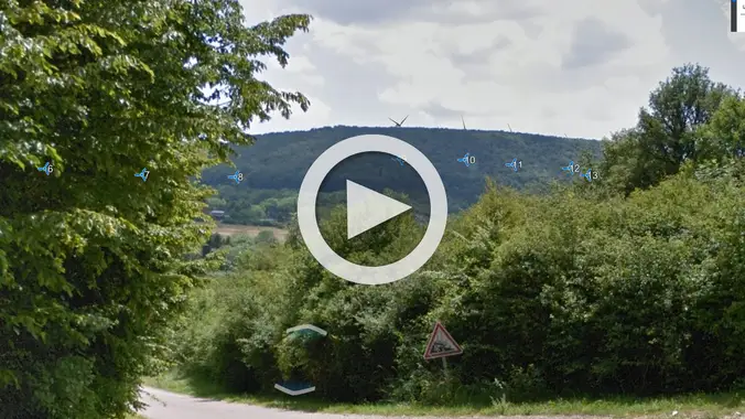 Chem. des MoinesVideo
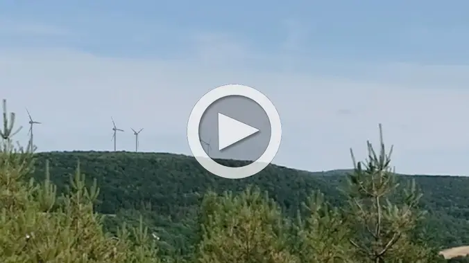 Bussiere, antenneVideo
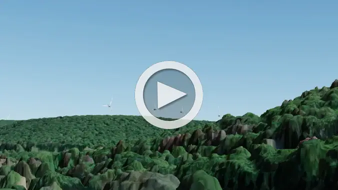 Pontonnière nuit (MNS)Video
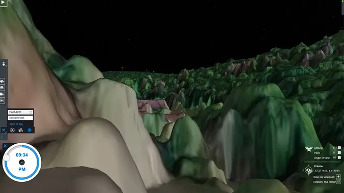 Bussiere sortie (MNS)Video
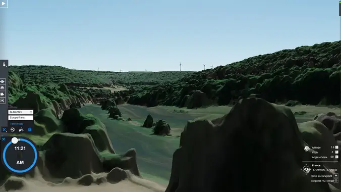 No. 6, PontonnièreVideo
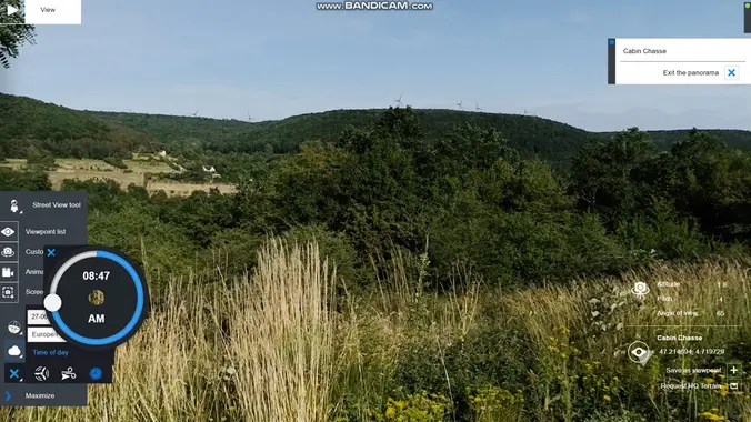 La Bussière, la cabane de chasseVideo
 Les GrueyVideo
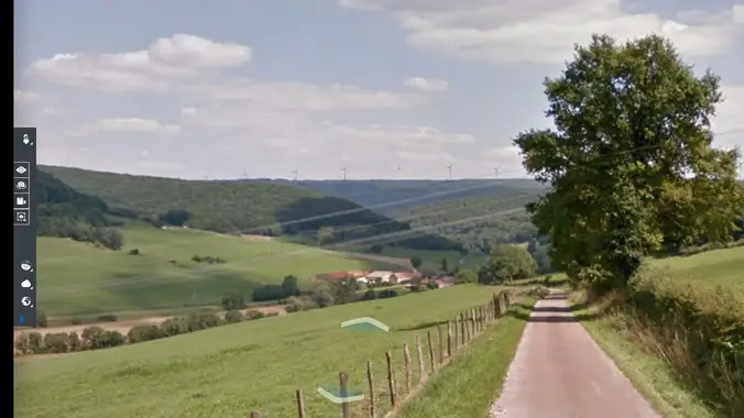 La Forêt, route de ChâteauneufVideo
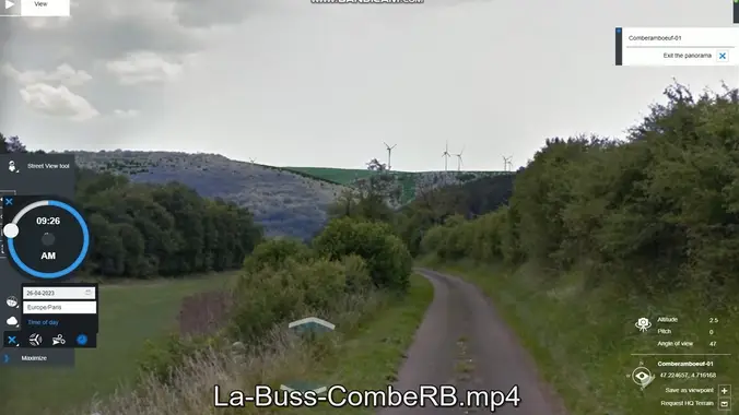 ComberainbeufVideo
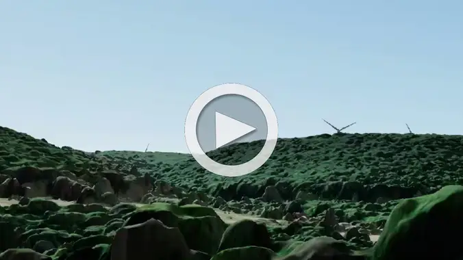 18 Grande Rue, Domaine des Écus d'OrVideo
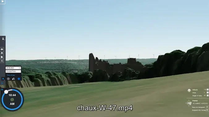 Ferme de la Chaux (MNS)Video
Photomontages
Click a photo to start the slideshow.
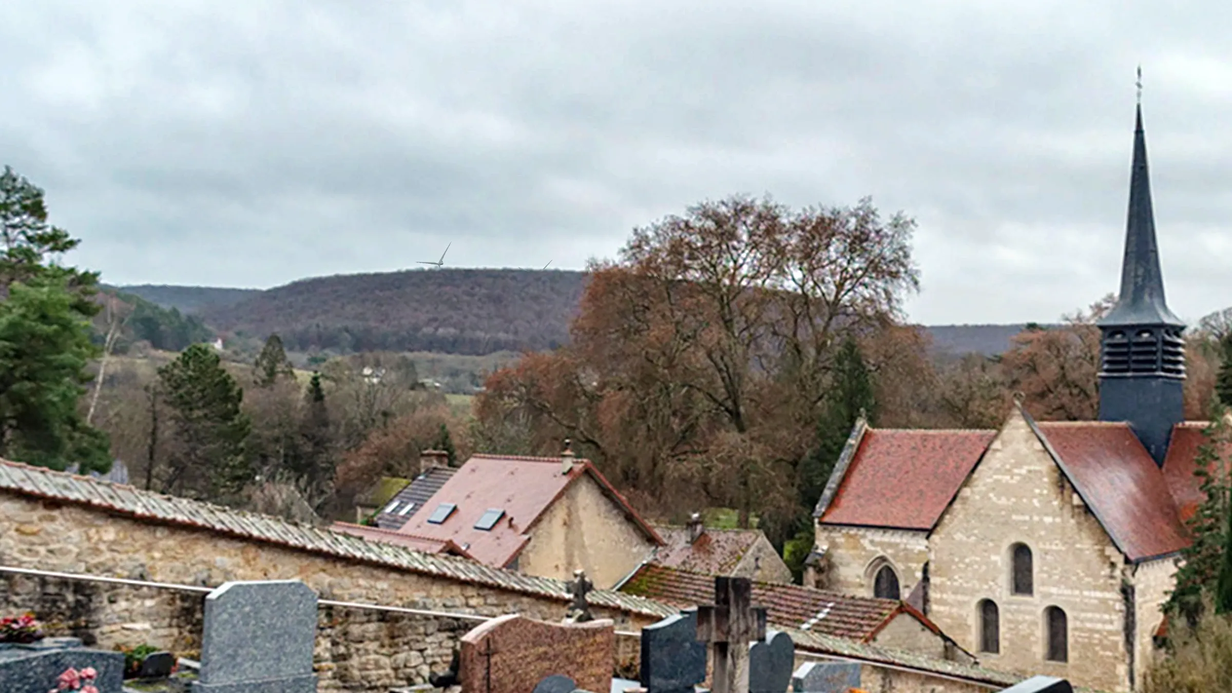 Le cimetière, vue sur l'église abbatiale
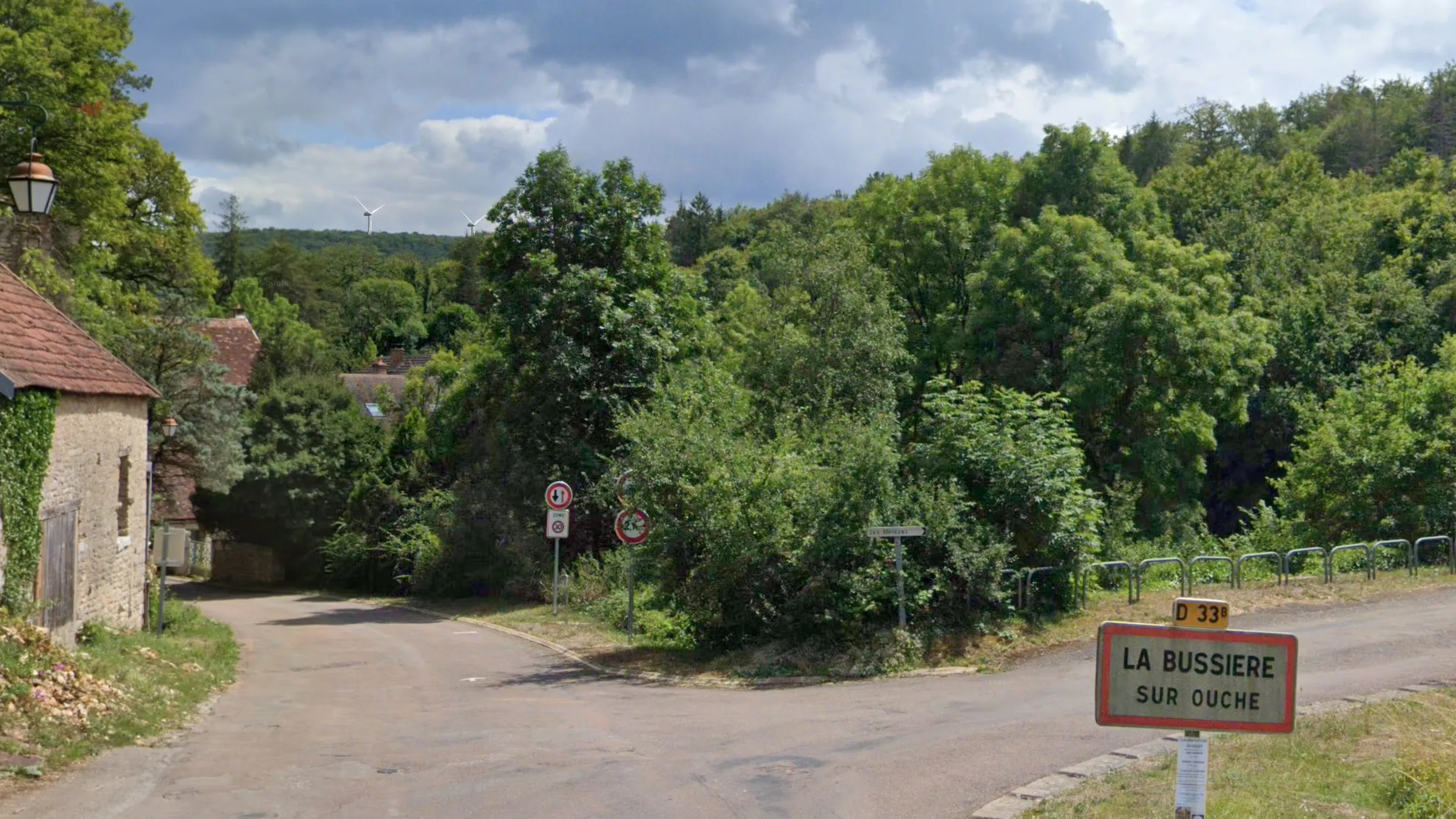 L'entrée ouest de La Bussière
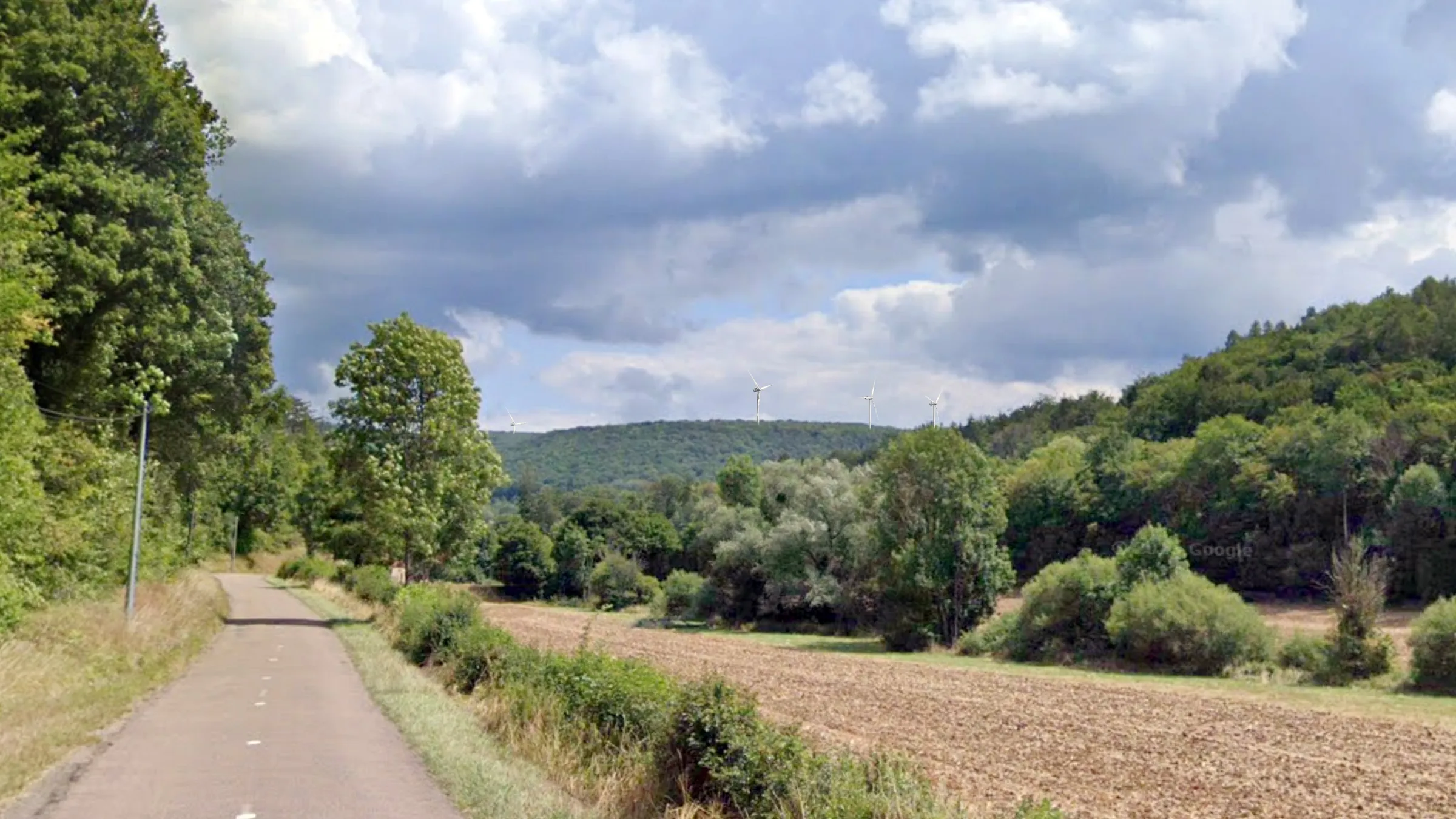 Pontonnière, D33B
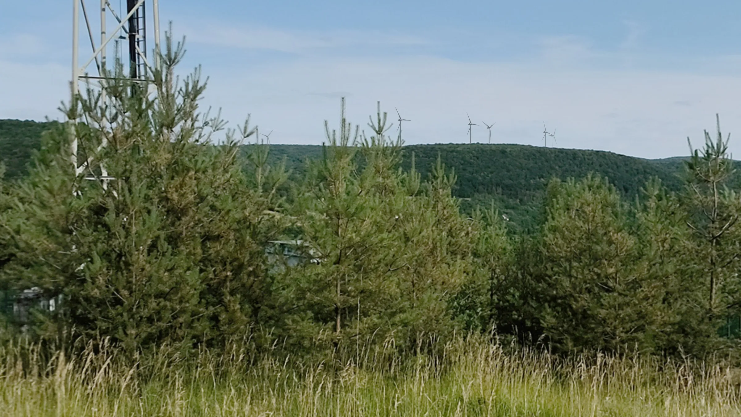 La Bussiere, antenne
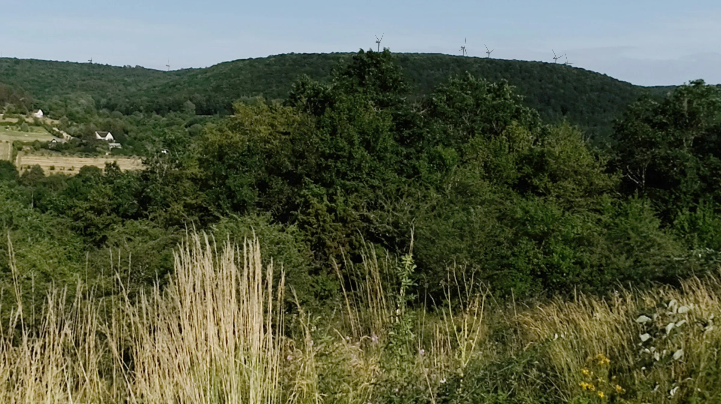 La Bussière, la cabane de chasse
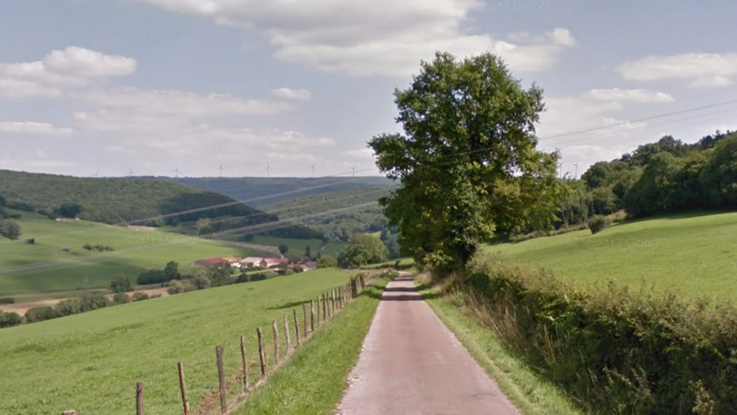 La Forêt, la route de Châteauneuf
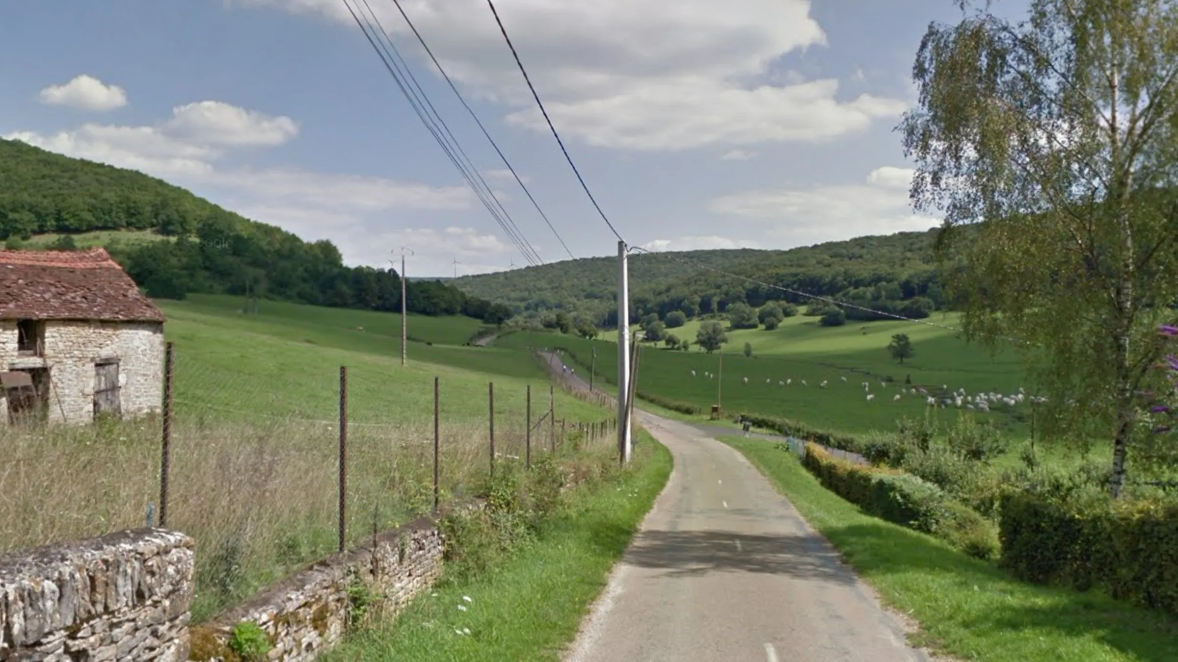 La Forêt, sortie est D33B
IGN photomontages
Visibility simulations using the IGN’s high-resolution digital surface model. All the images have a 47-degree angle of view, a westerly wind and the light conditions at 10:00 in early December. The turbines are labelled. Click a photo to start the slideshow.
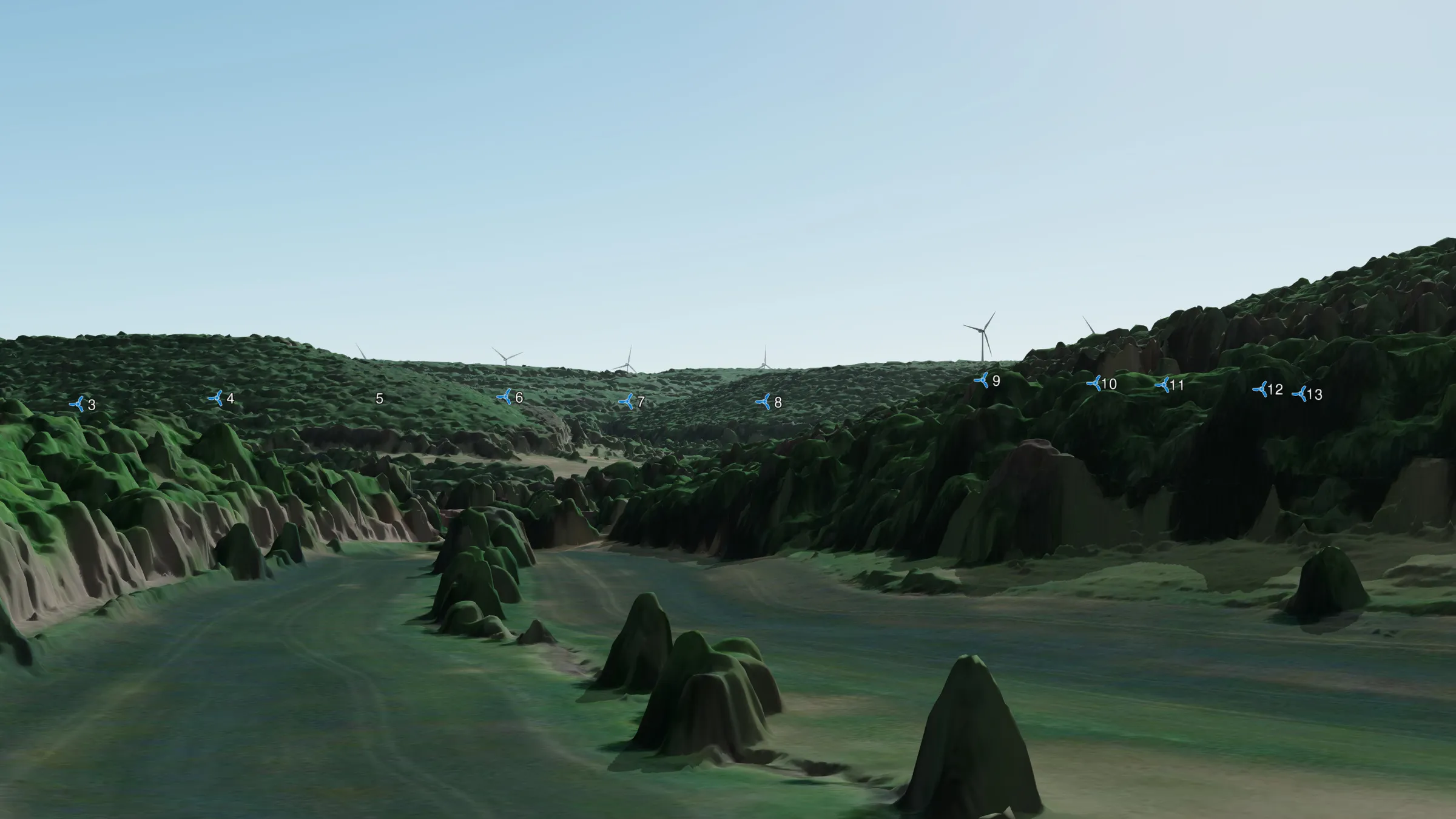 No. 1 Pontonnière
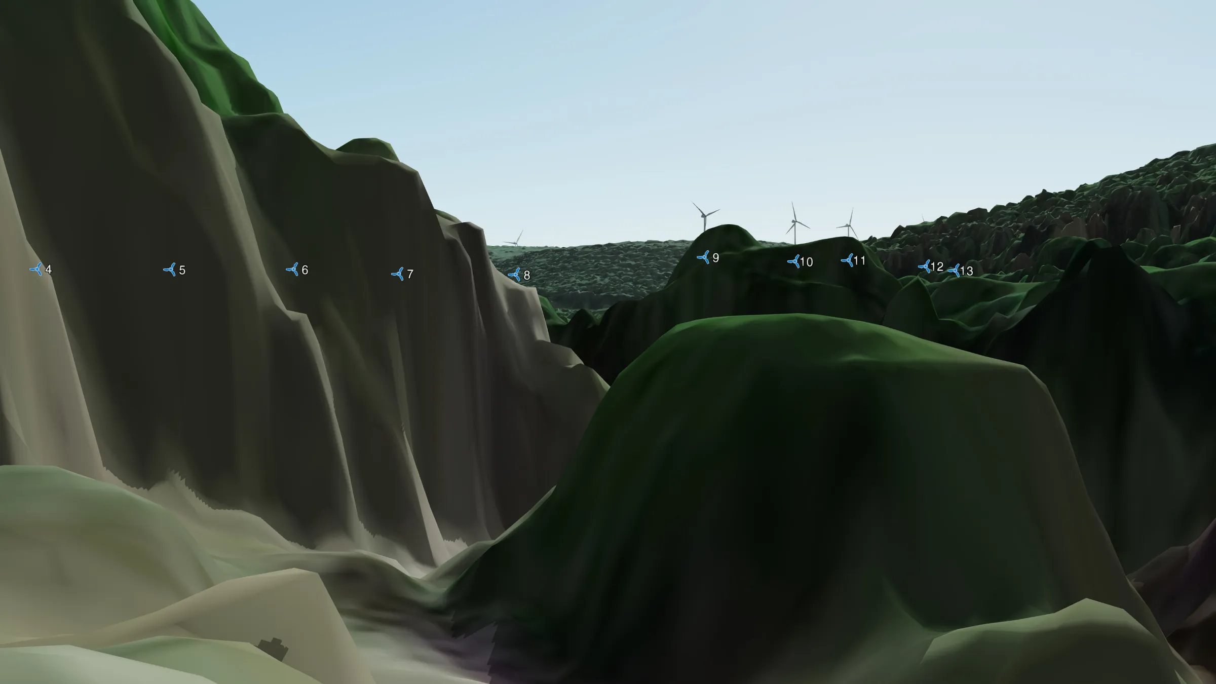 No. 2 Pontonnière
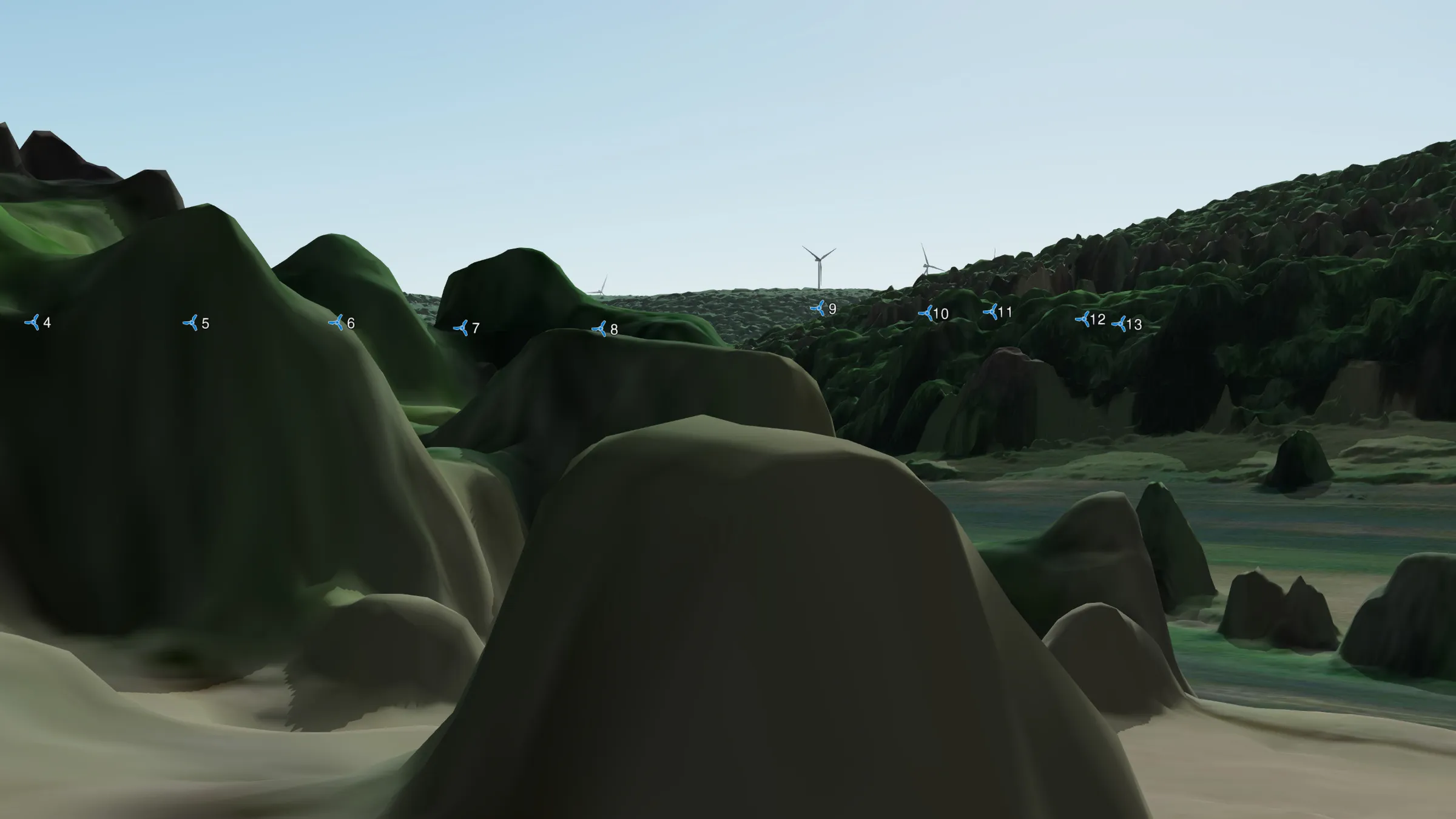 No. 4 Pontonnière
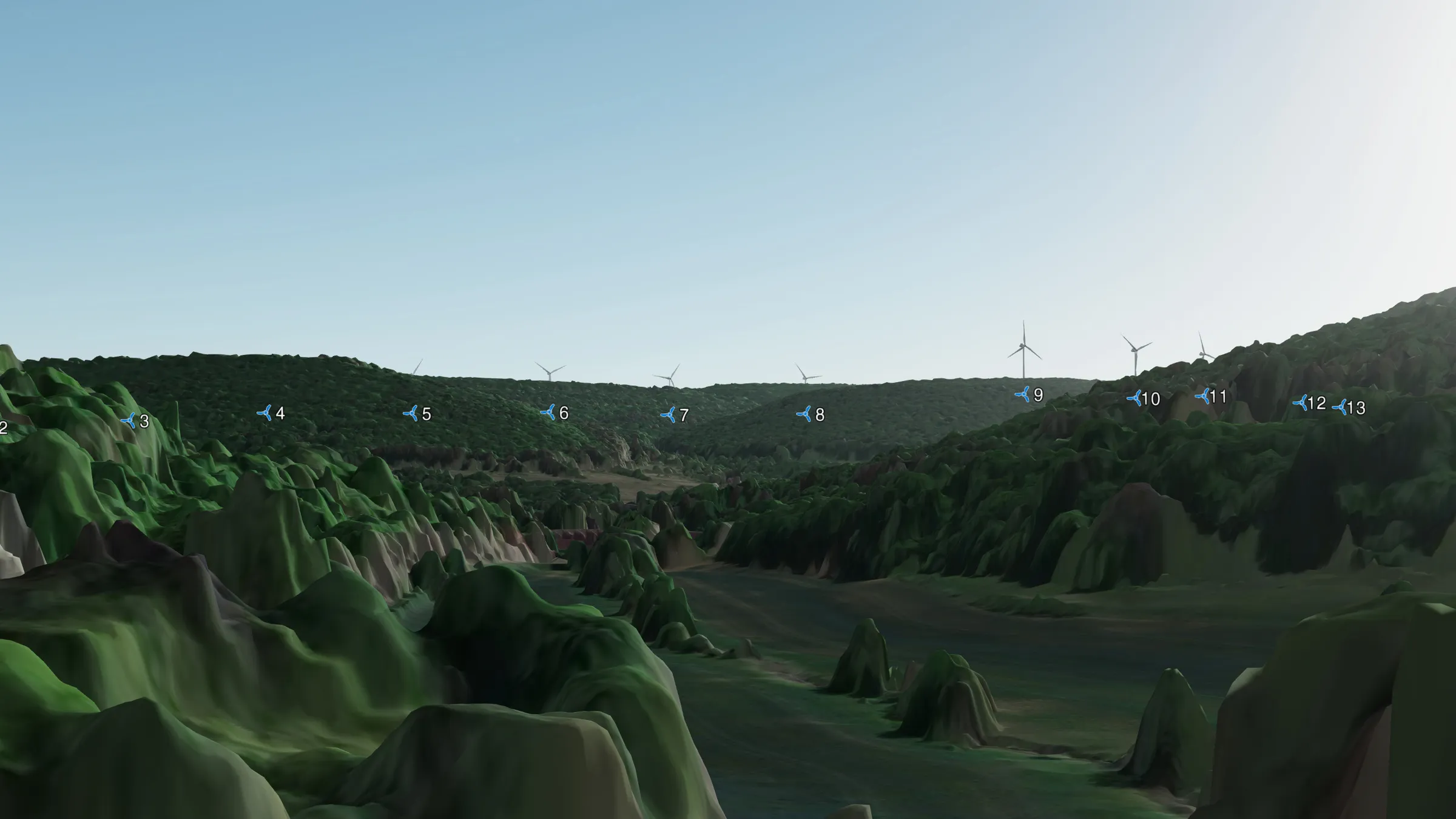 No. 6 Pontonnière.
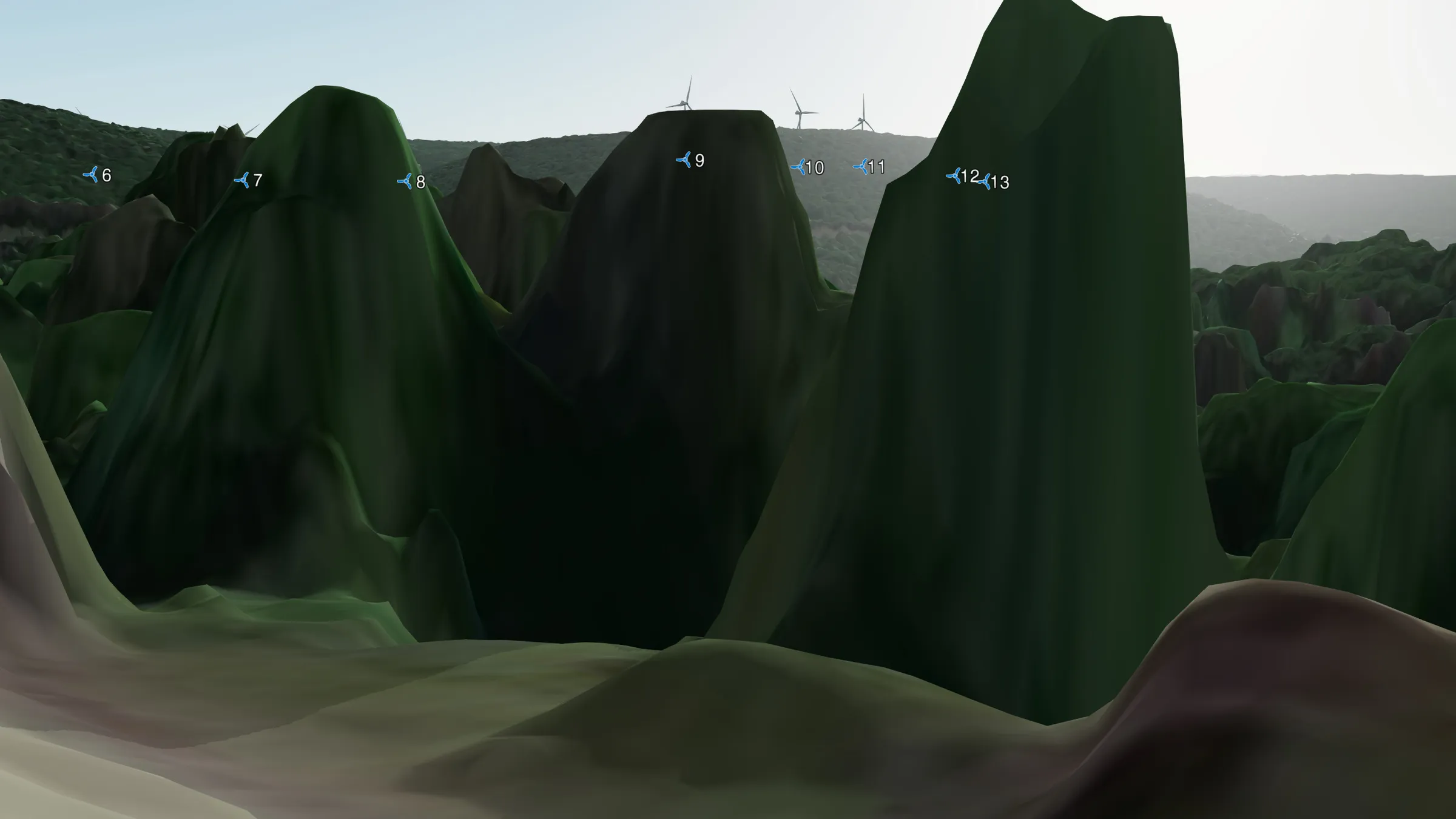 3 Chem. du Réservoir
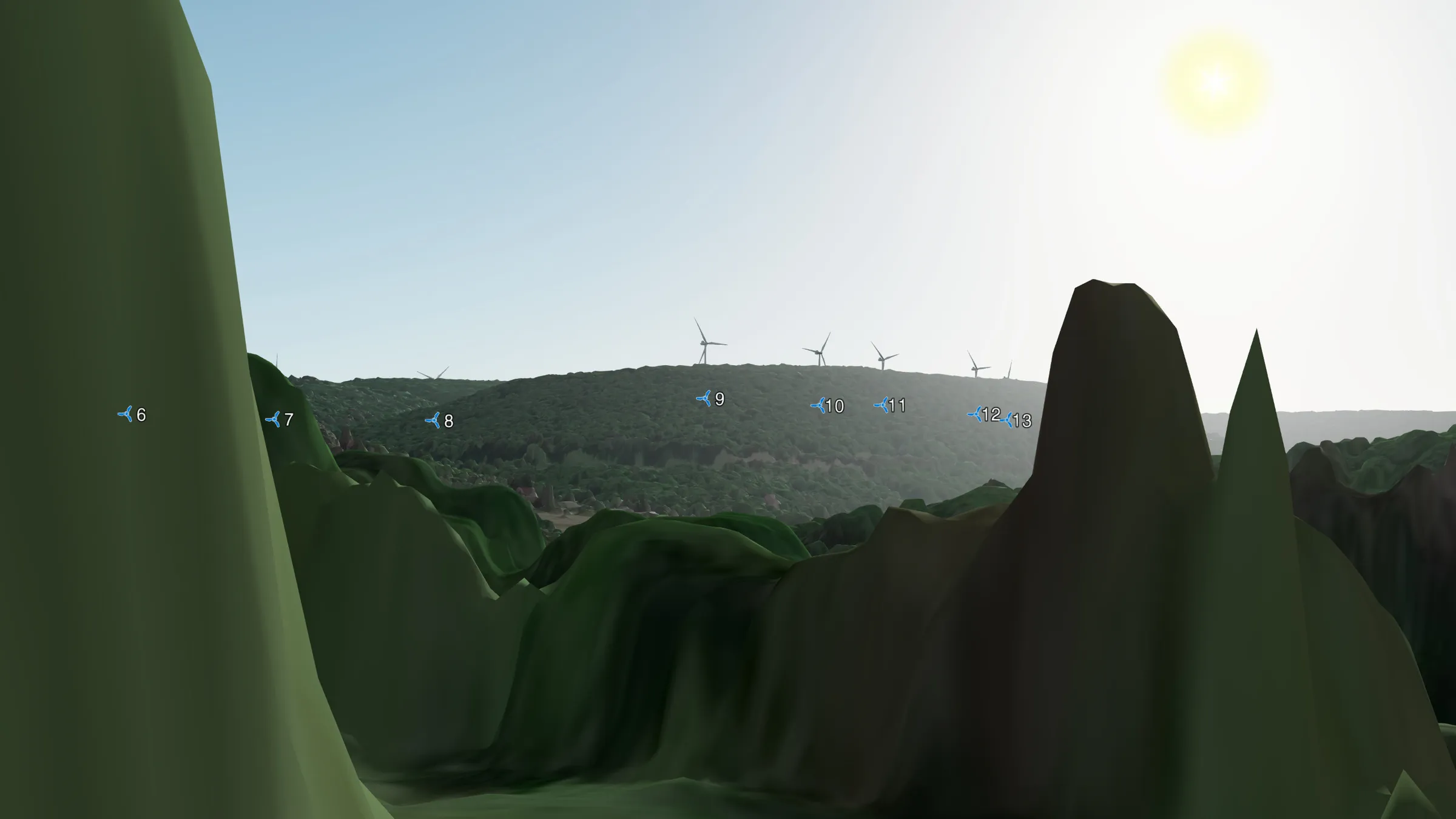 3 Chem. du Réservoir #2
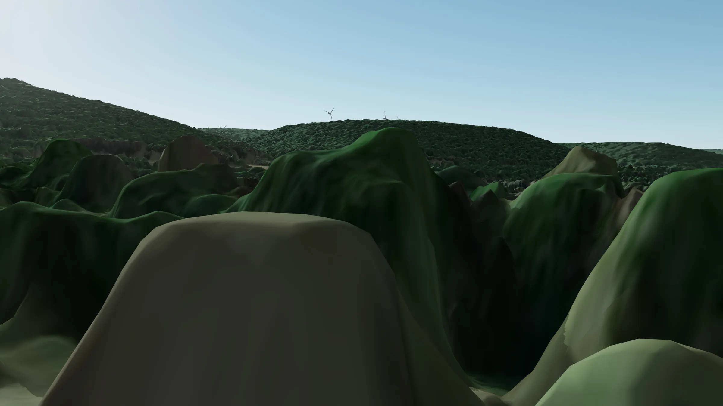 1 Chem. du Réservoir
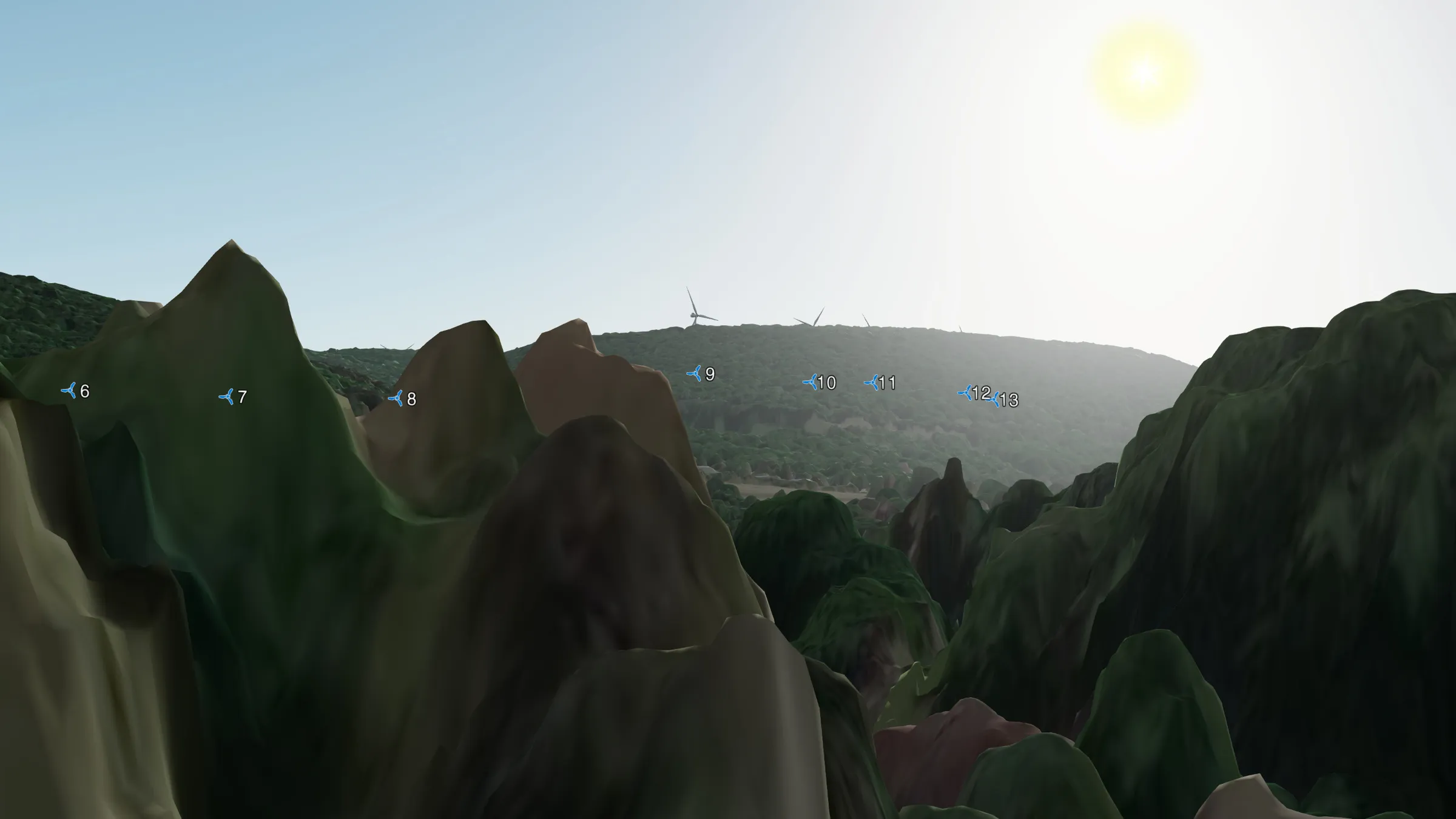 22 Grande Rue (en face de l'église)
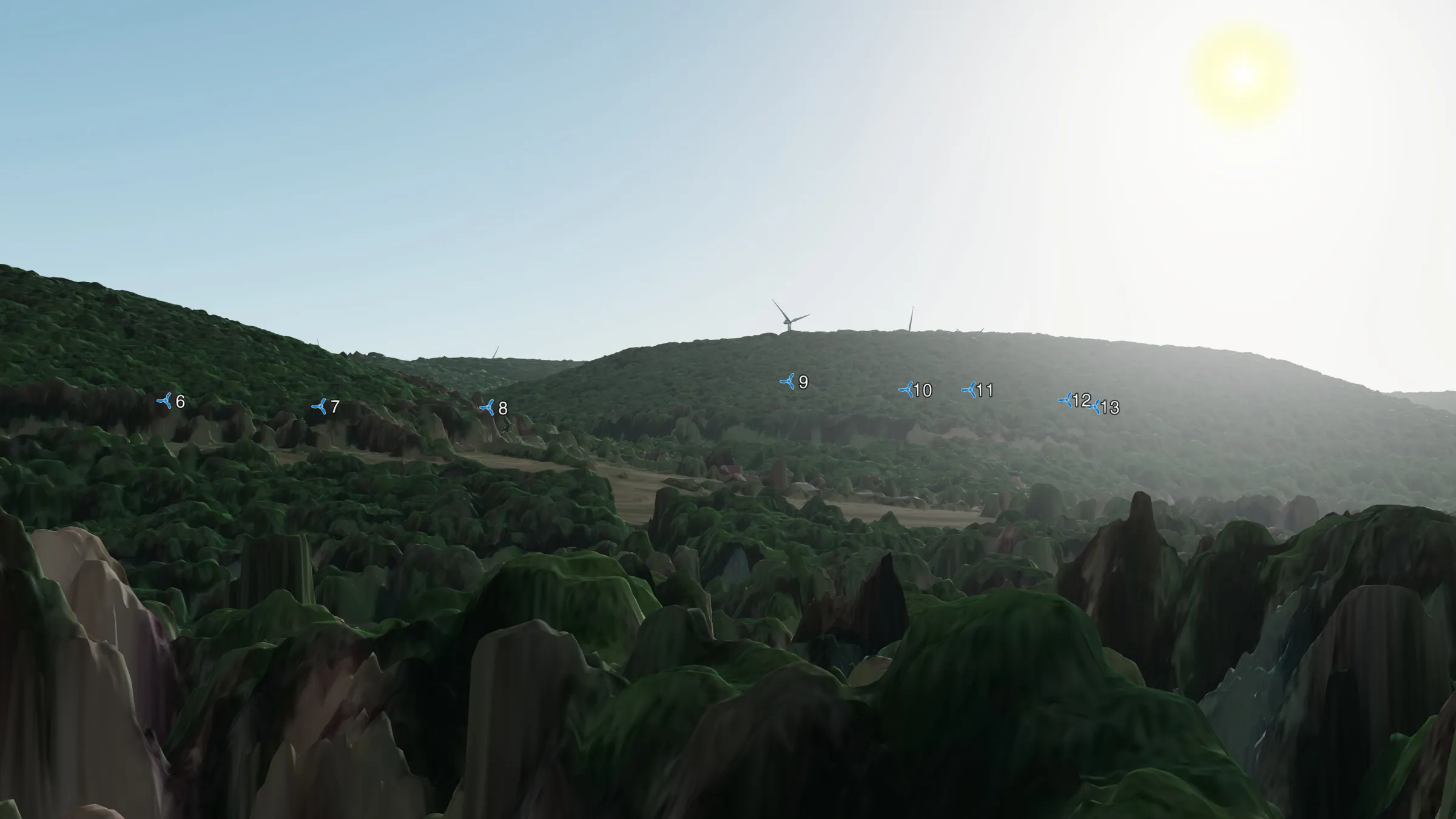 18 Grande Rue
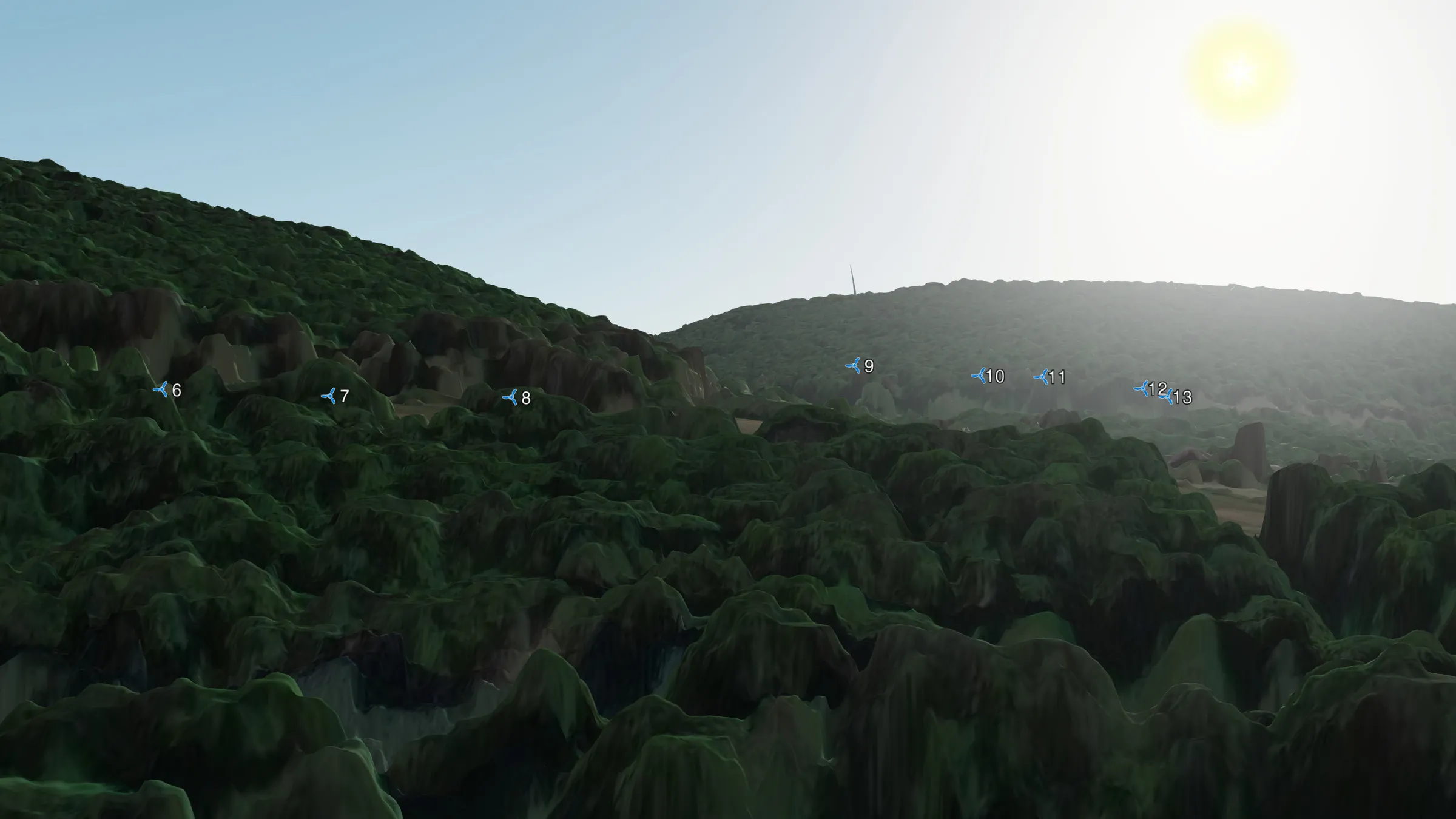 La Tuilerie, 48 Rue de Saint-Aubin
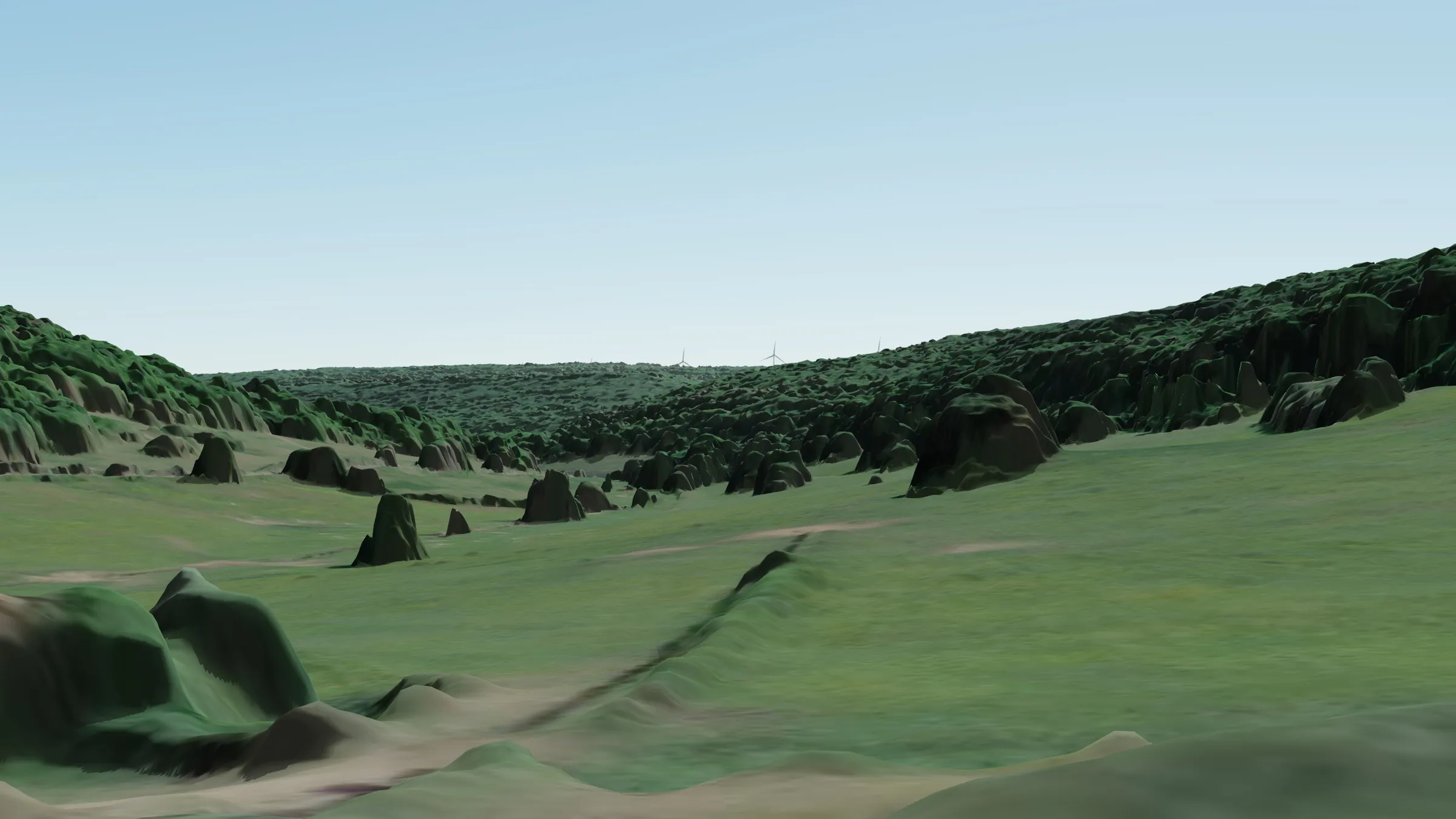 Les Gruey
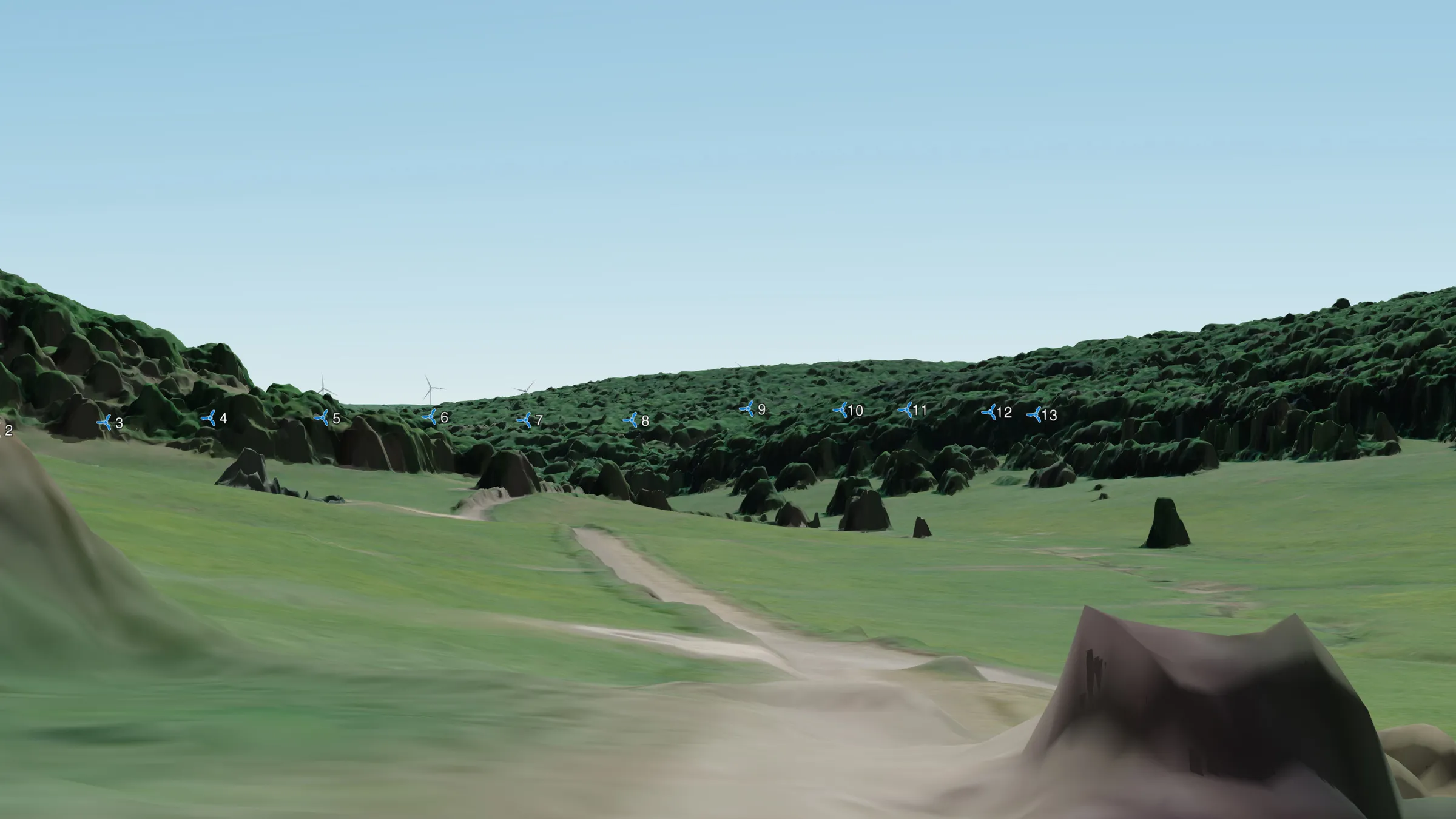 La Forêt, sortie est D33B
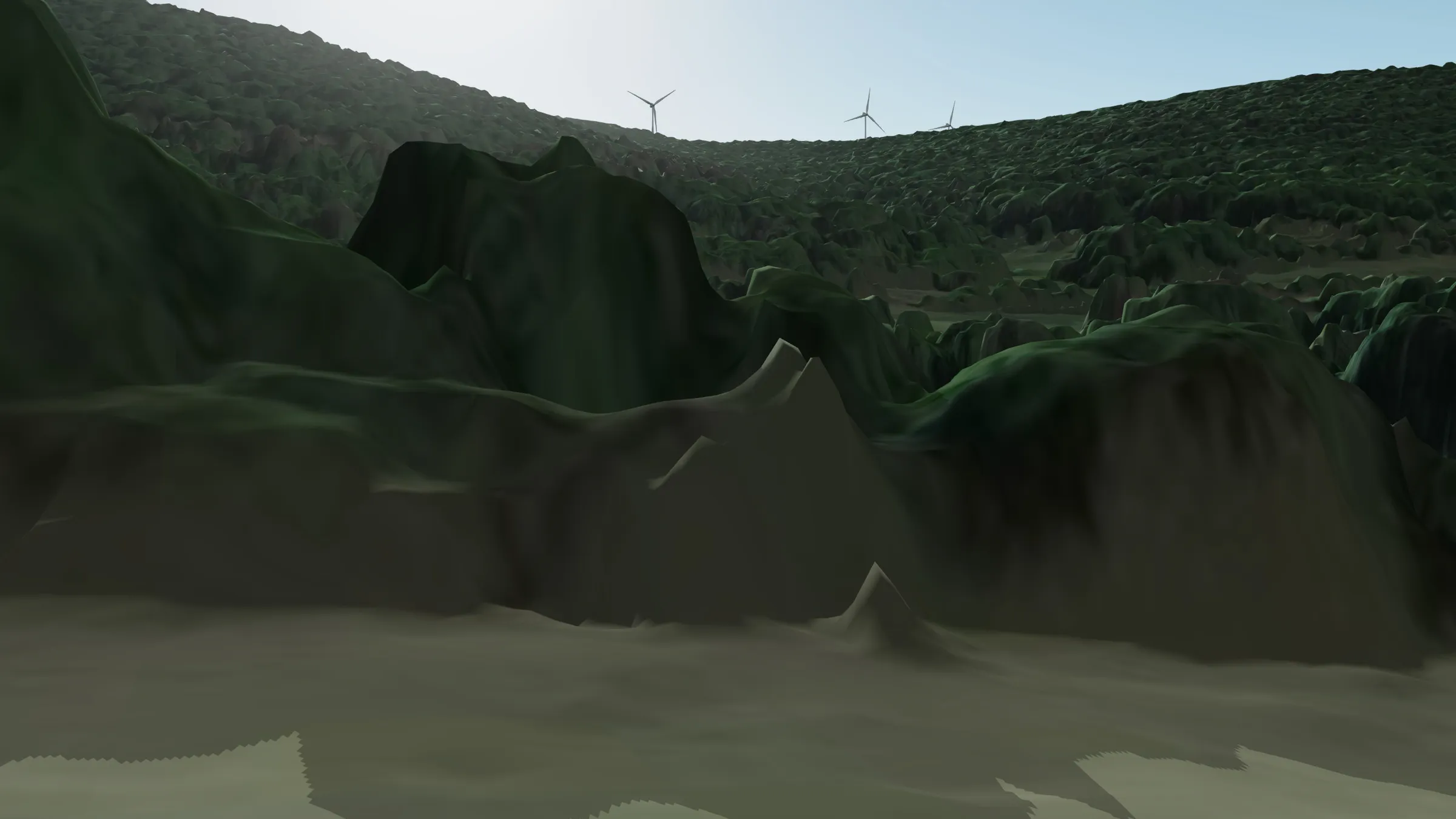 L'ouest de l'Ouche
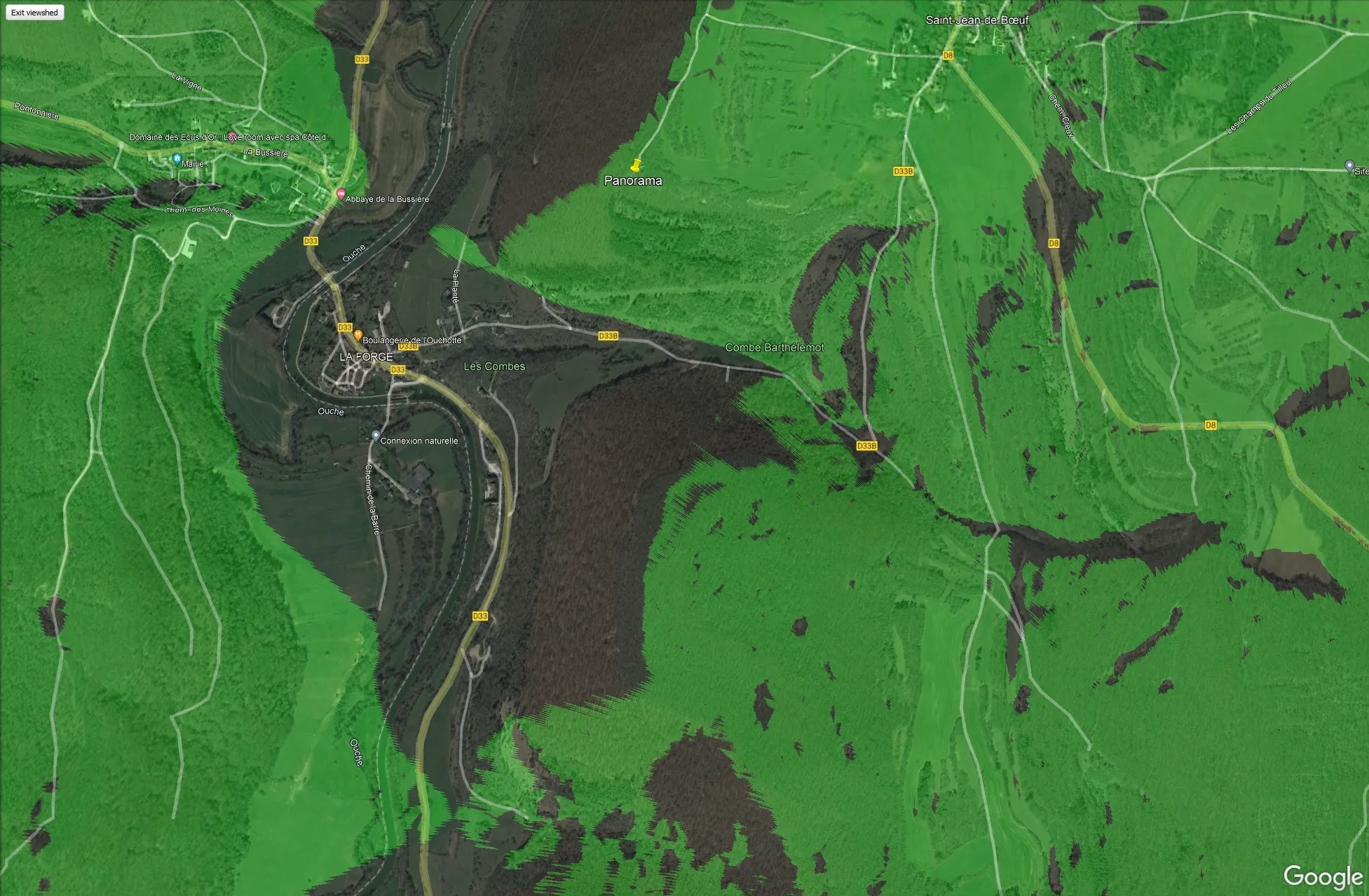
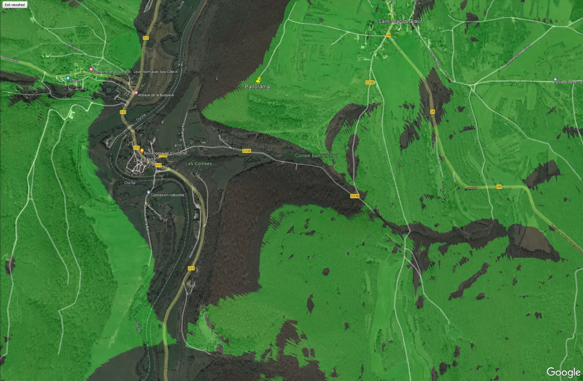
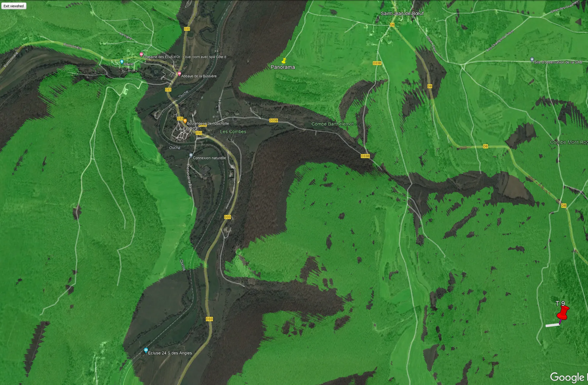
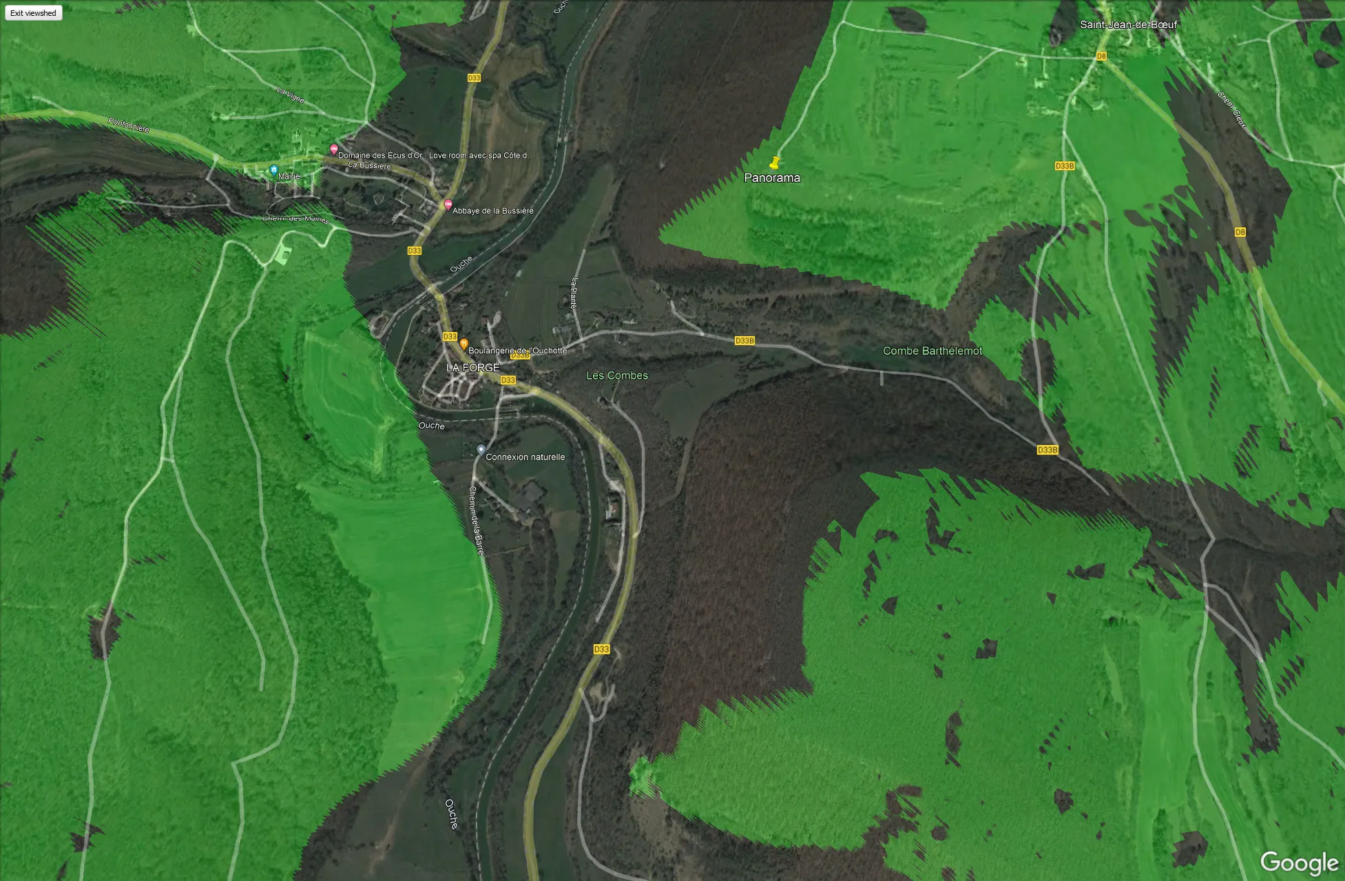
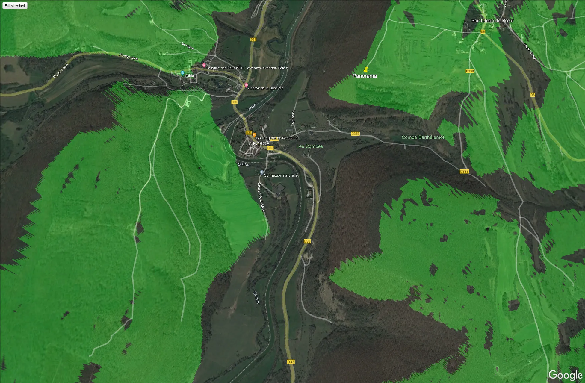
Sight cones
Part of the turbine is theoretically visible from the areas highlighted in green. A sight cone cannot take account of obstructions such as buildings or trees, nor show which part of the turbine will be visible. Click a photo to start the slideshow.