La Pourrie
- ≈ 4.9 km from the nearest turbine
- 1 video
- 13 images
- 47.2319, 4.7123
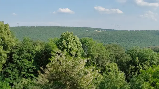
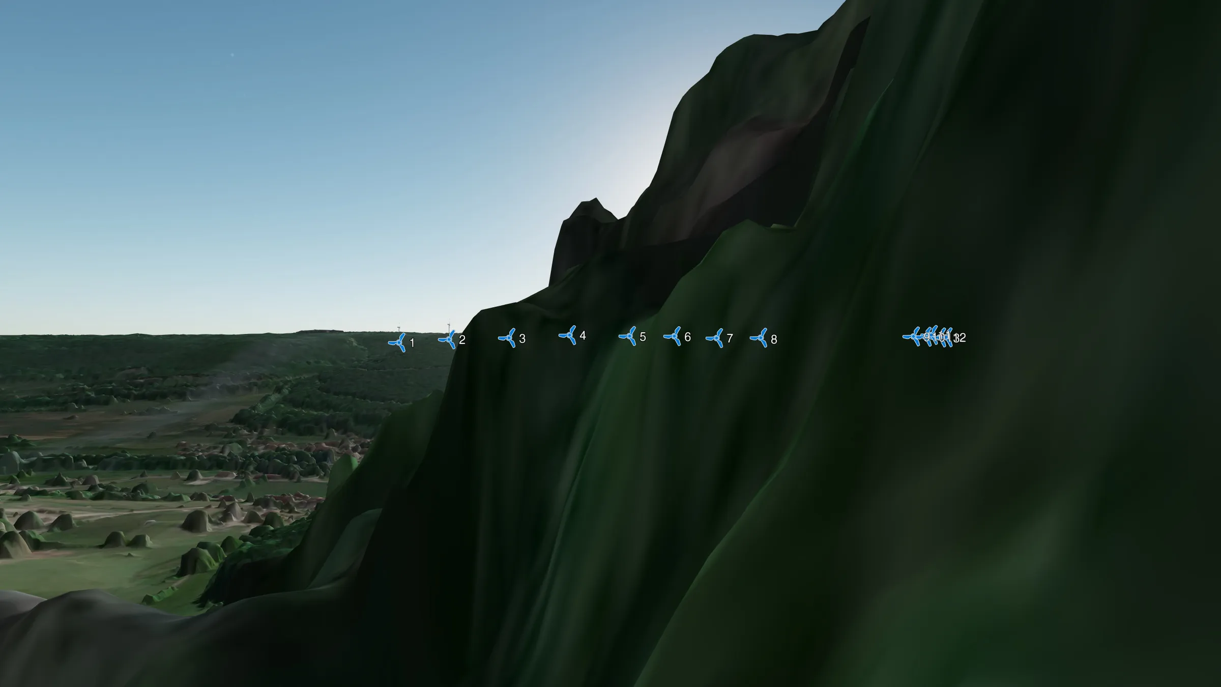
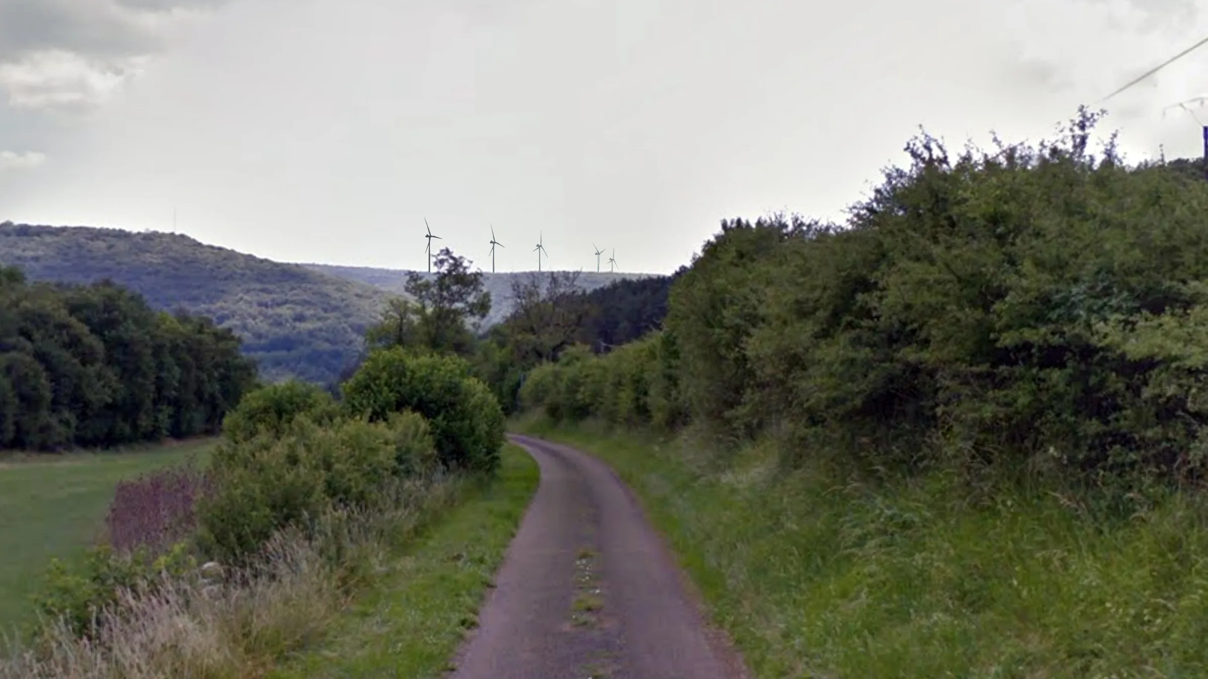
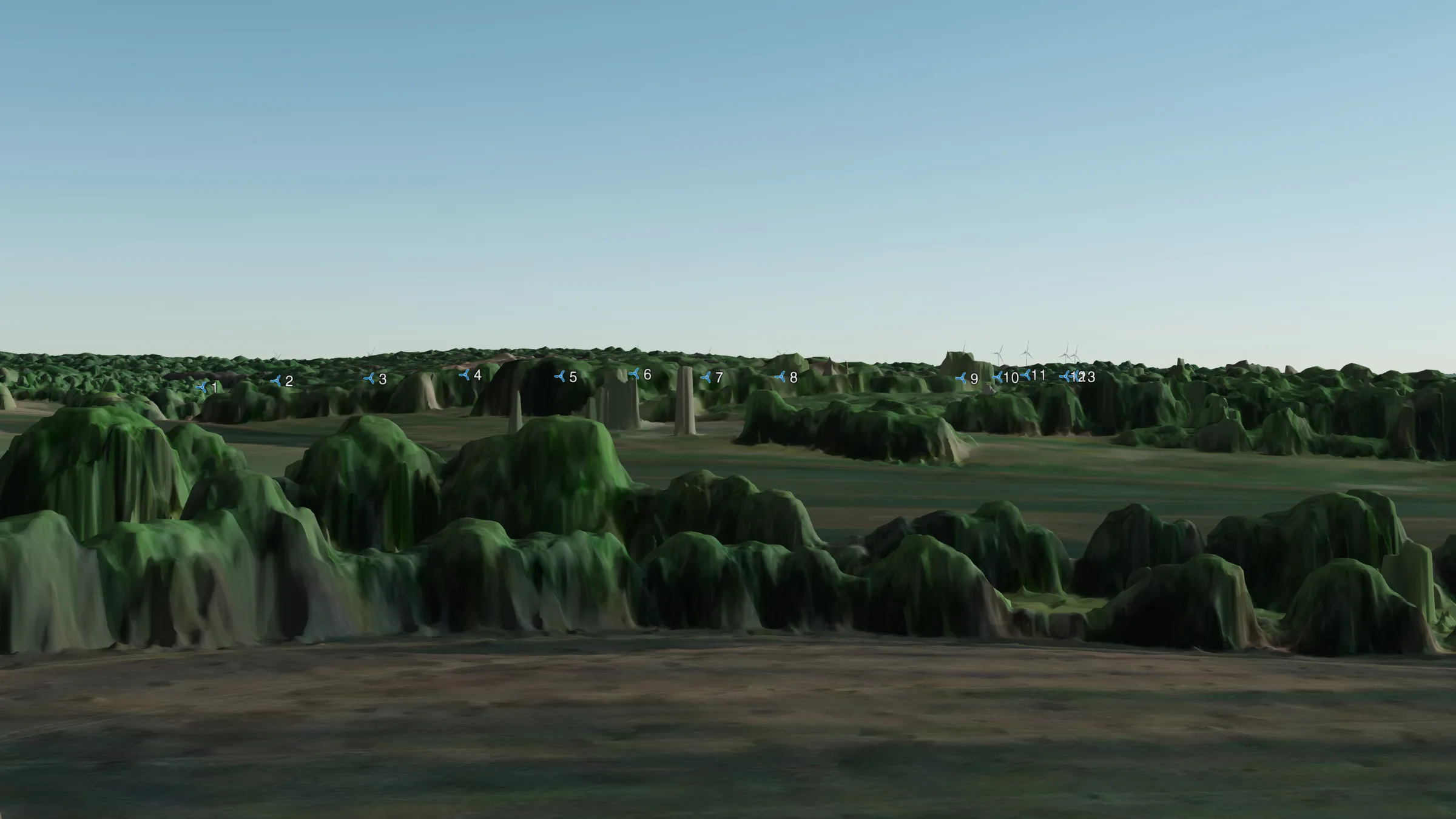
Photomontages showing the potential visual impact of the Grands Communaux wind farm project on the area around La Pourrie.
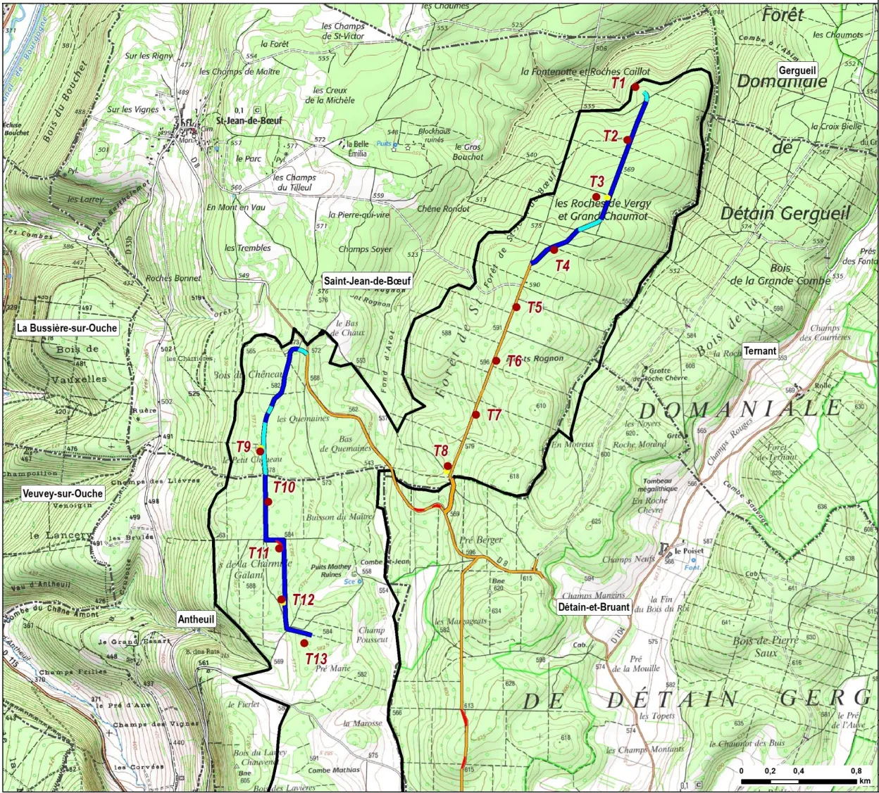
In all the photos and videos, the turbines shown have a hub height of 115 m and a rotor diameter of 130 m, giving a tip height of 180 m. By comparison, the turbines at Bessey-en-Chaume are 130 m to the blade tip. The turbines are shown to scale, but in reality they will be far more visible than digital projections can show.
The turbines are numbered T1–T13. T1–T8 are in the Saint-Jean-de-Bœuf sector; T9–T13 are in the Antheuil sector. For more information, see the project overview and the project map (right). Locations are given as WGS84 coordinates (latitude/longitude) for use in Google Maps.
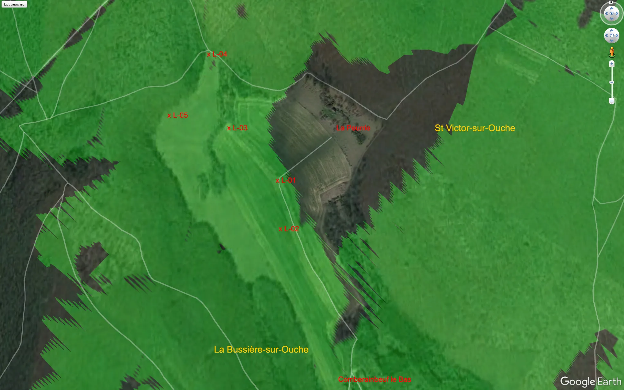 La Pourrie, carte
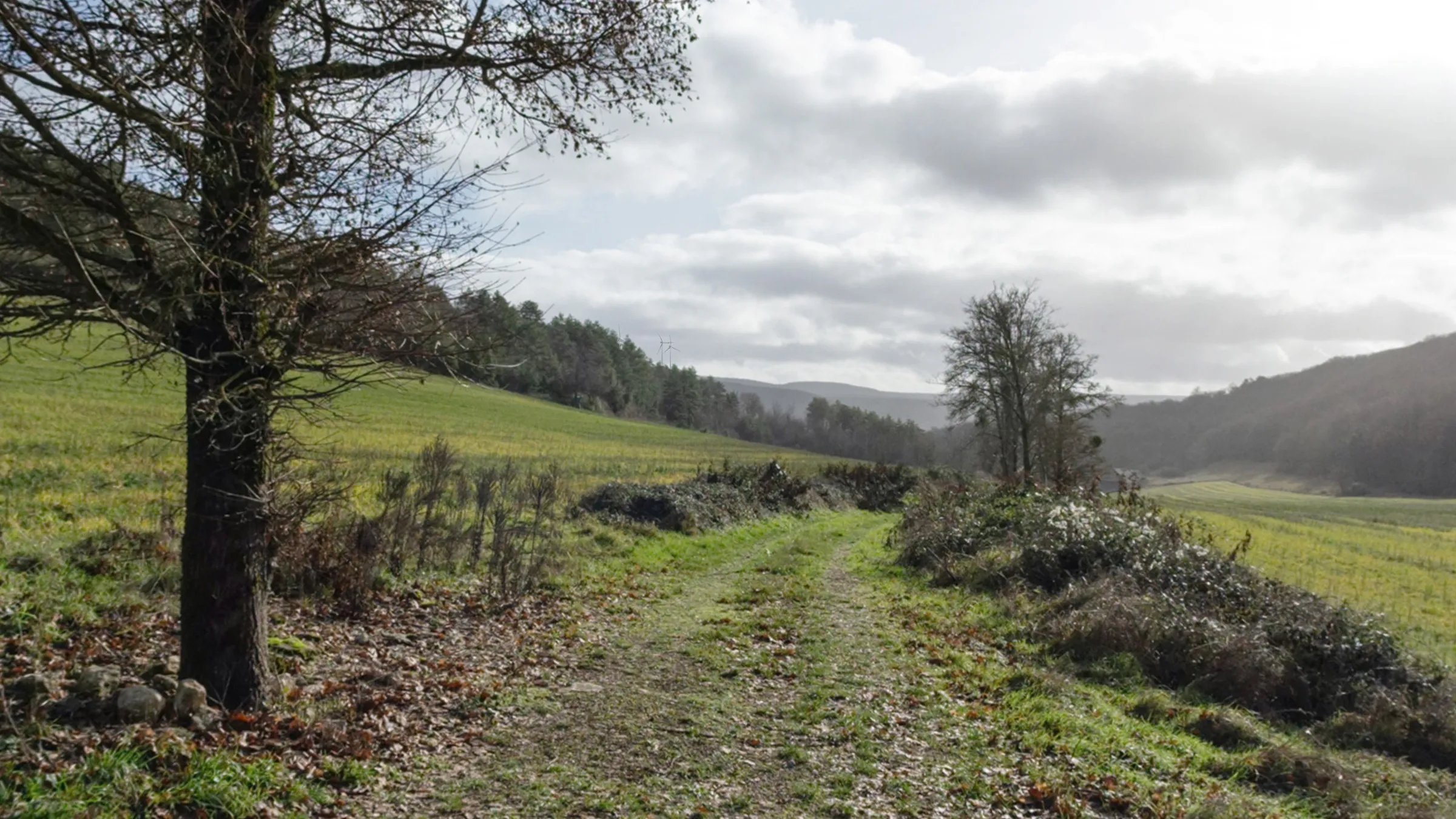 La Pourrie, L01
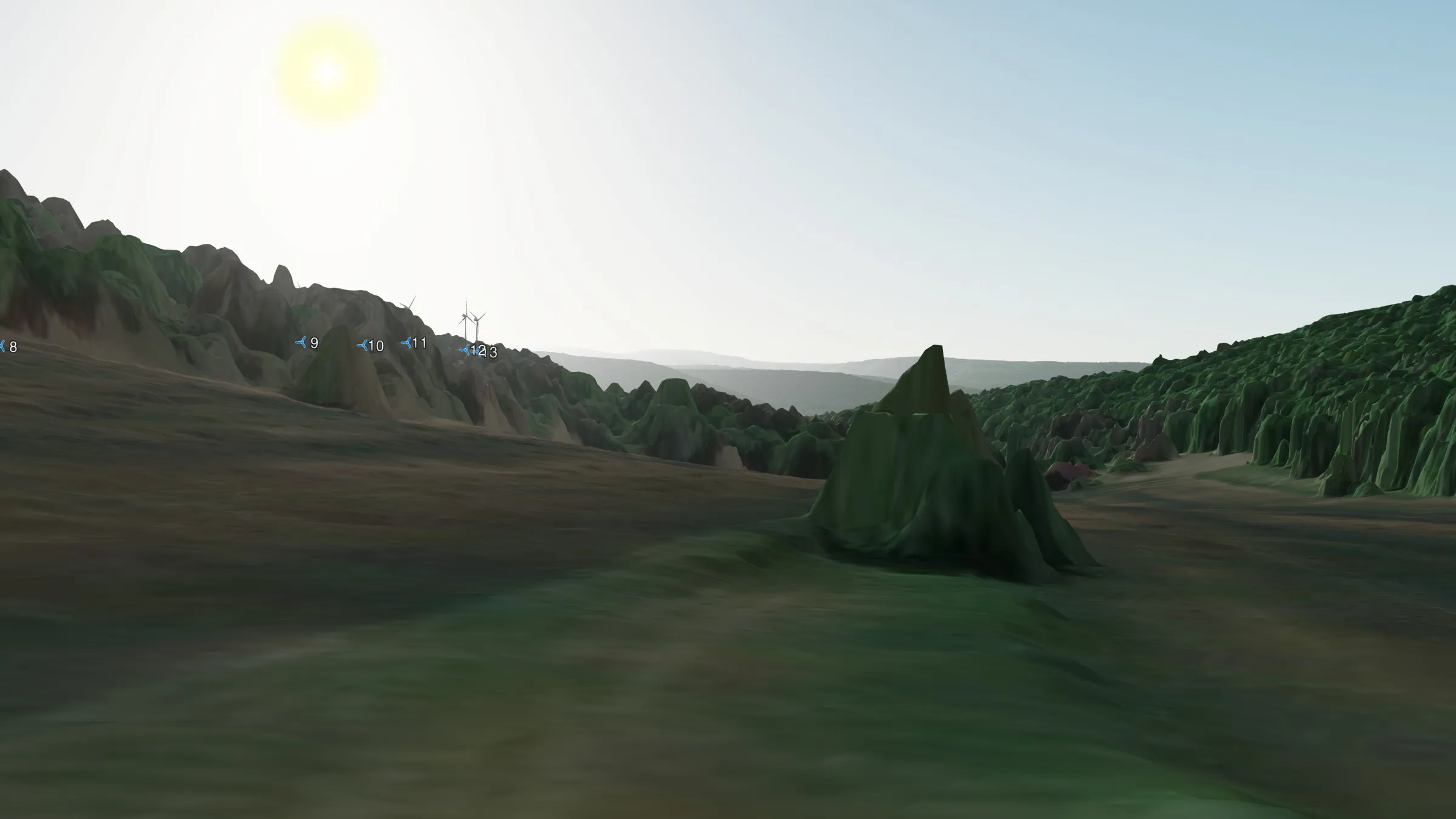 la Pourrie, L01 IGN
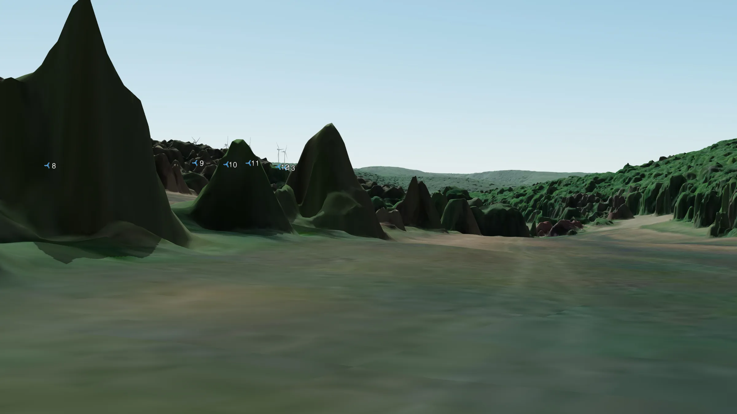 La Pourrie, L02 IGN
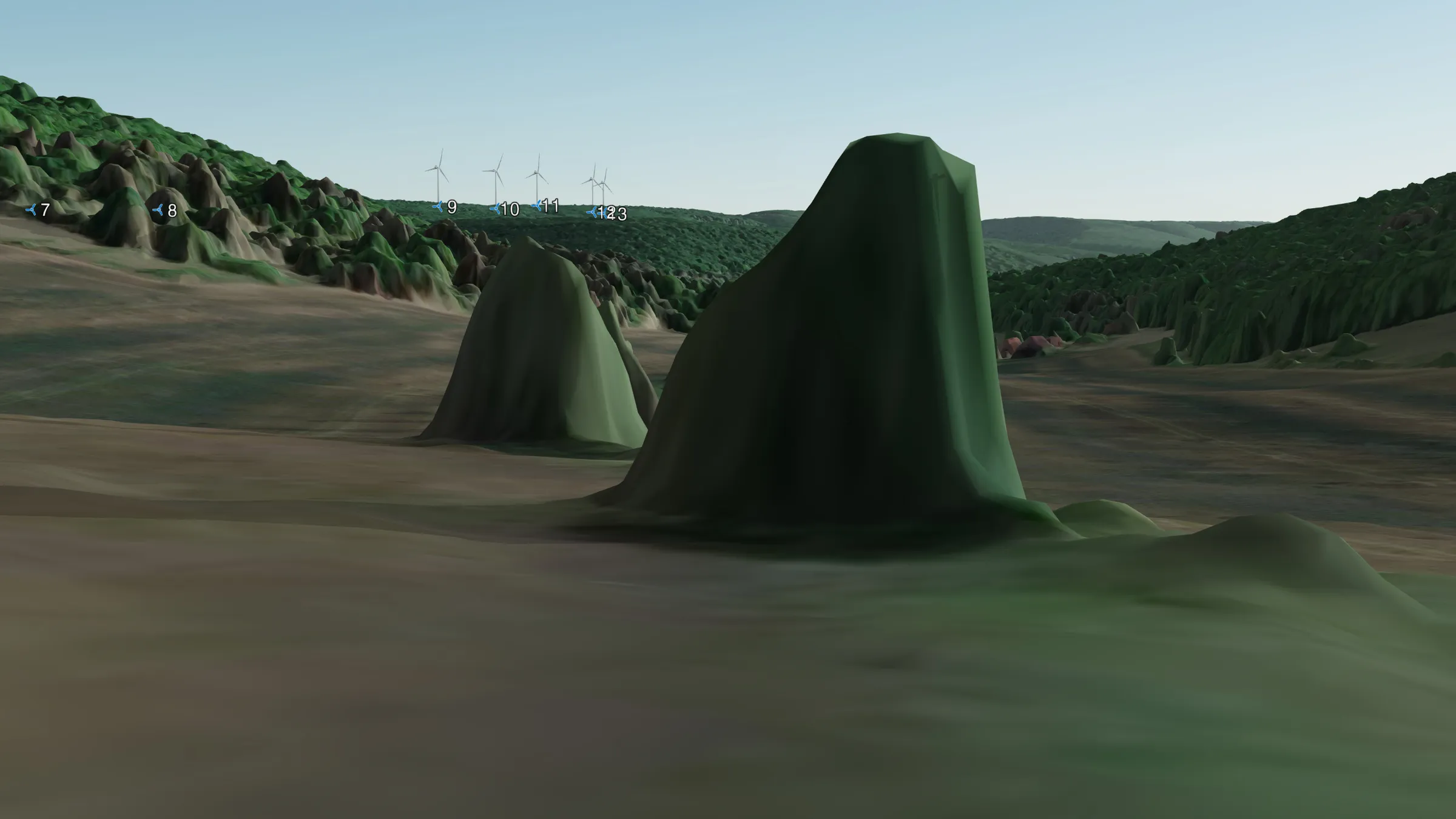 La Pourrie, L03 IGN
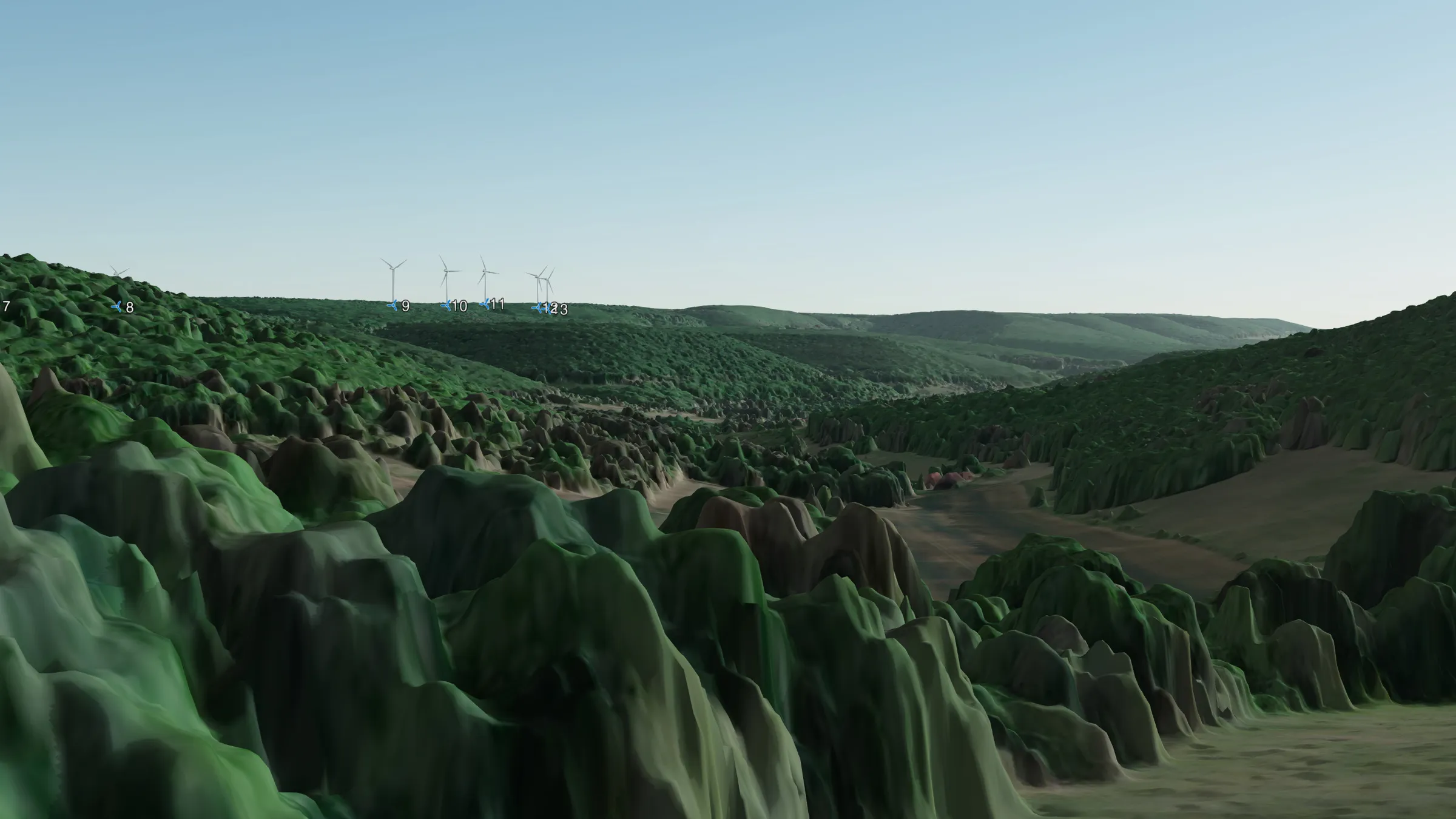 La Pourrie, L04 IGN
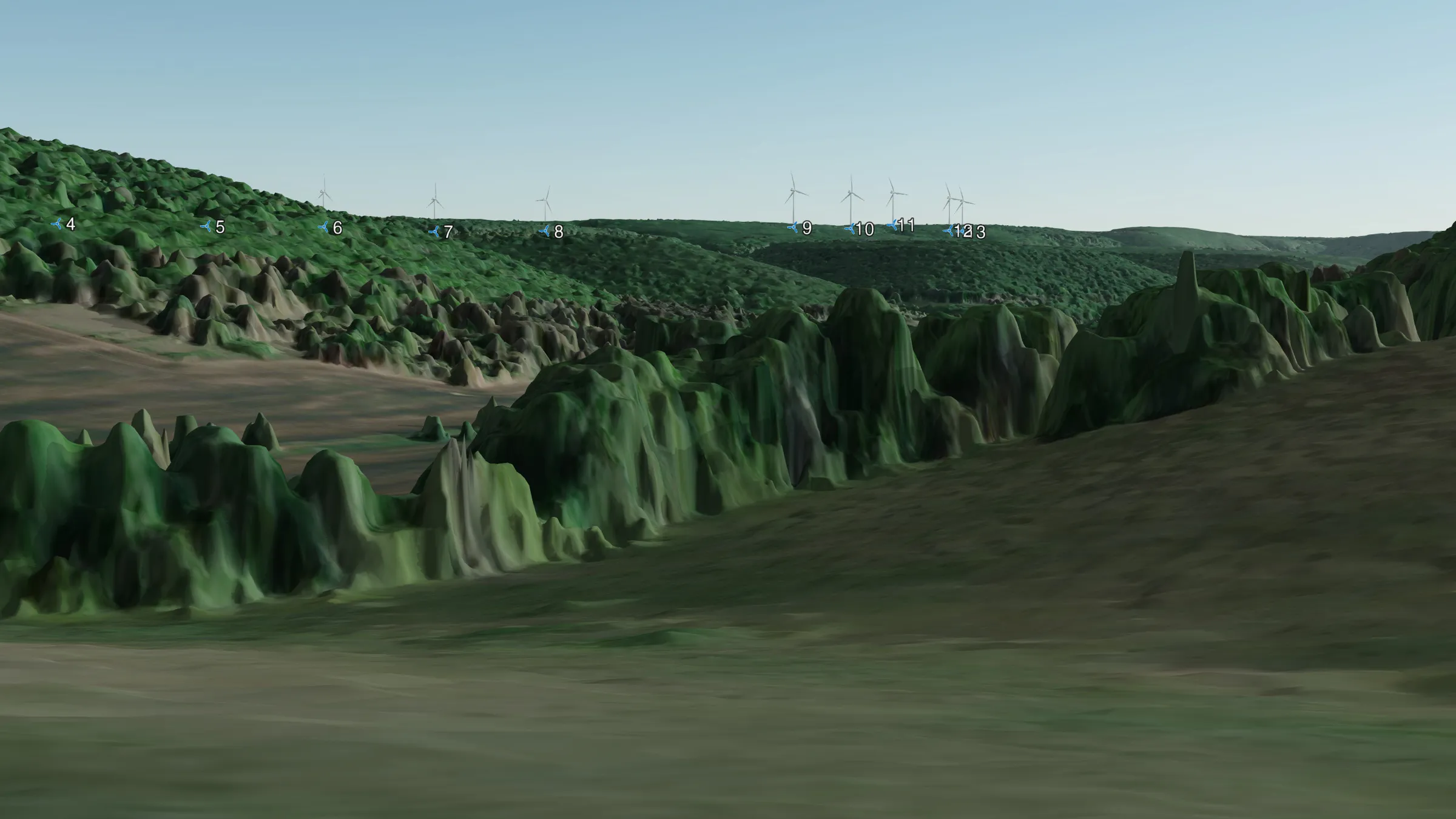 La Pourrie, L05 IGN
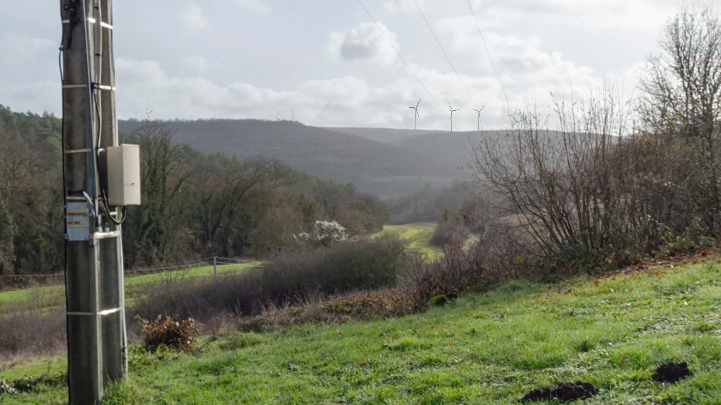 Comberainbeuf-le-Bas
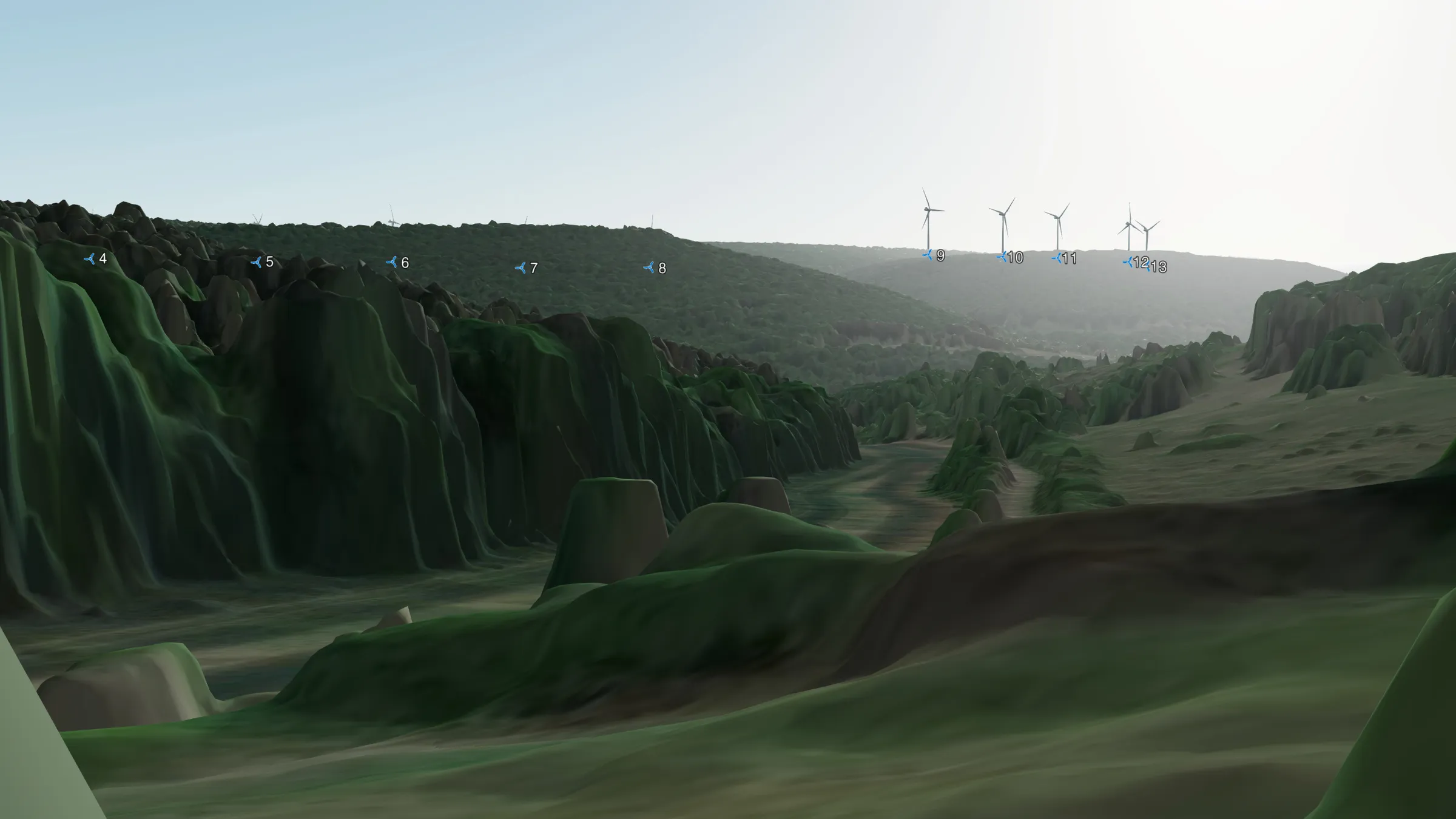 Comberainbeuf-le-Bas (IGN)
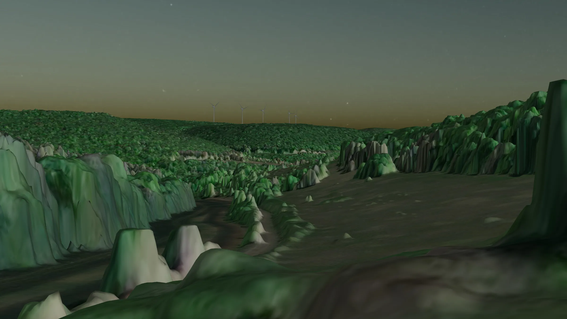 Comberainbeuf le Bas (nuit, IGN)