Chambœuf, Curley and Vergy
- ≈ 8.8 km from the nearest turbine
- 5 videos
- 11 images
- 47.2141, 4.9041
Video montages showing the potential visual impact of the Grands Communaux wind farm project on the communes of Chambœuf, Curley and Reulle-Vergy.
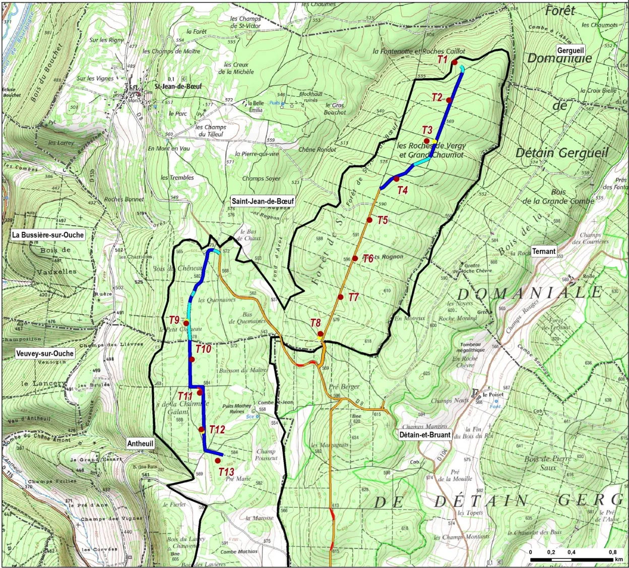
In all the photos and videos, the turbines shown have a hub height of 115 m and a rotor diameter of 130 m, giving a tip height of 180 m. By comparison, the turbines at Bessey-en-Chaume are 130 m to the blade tip. The turbines are shown to scale, but in reality they will be far more visible than digital projections can show.
The turbines are numbered T1–T13. T1–T8 are in the Saint-Jean-de-Bœuf sector; T9–T13 are in the Antheuil sector. For more information, see the project overview and the project map (right). All locations are given as WGS84 coordinates (latitude/longitude) for use in Google Maps.
Videos and photos
The whole Grands Communaux project will be visible from much of Chambœuf, especially from the south-facing houses on the west side of the village. Some of the blades will be visible above Curley.
Videos may take a moment to load. They can be enlarged to full screen.
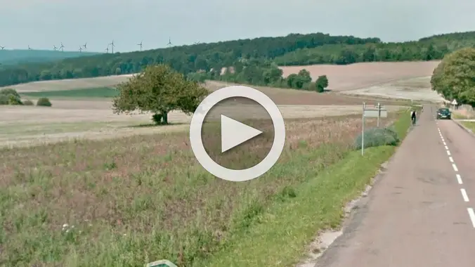 Chamboeuf ouest, D31Video
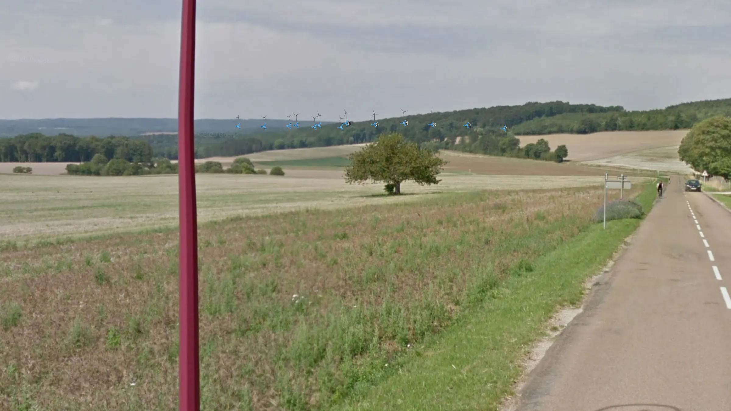 Chambœuf ouest, D31
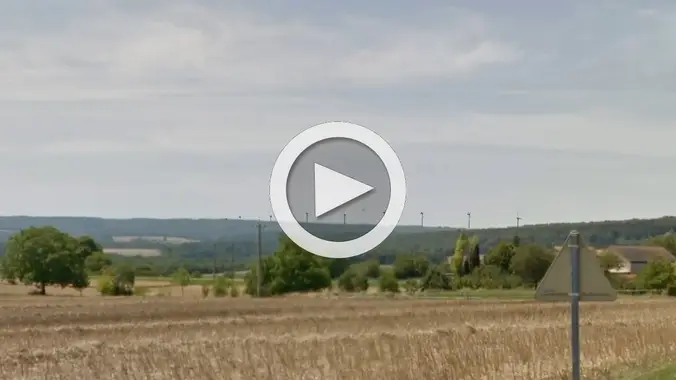 Chambœuf est, D31Video
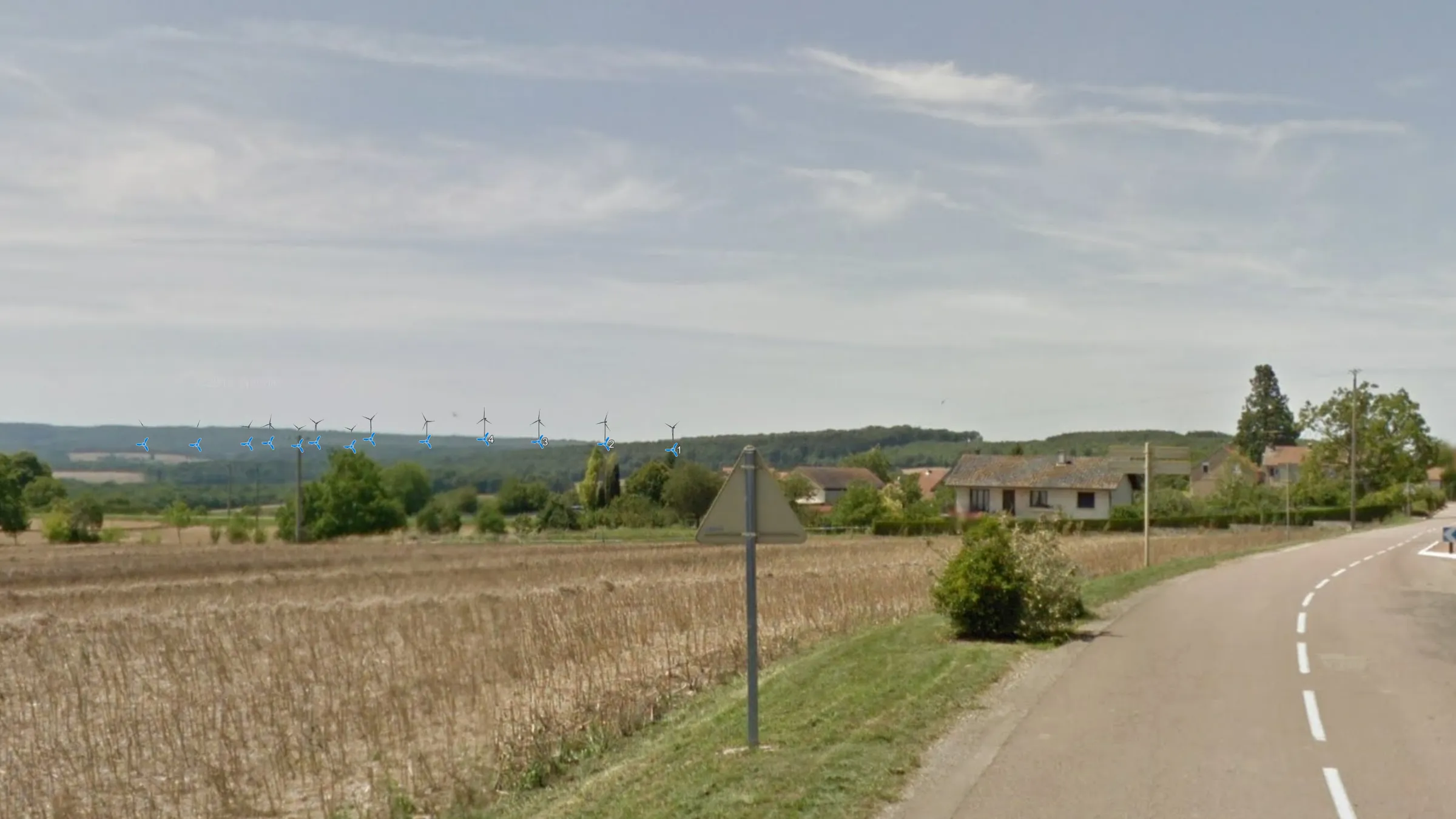 Chambœuf est, D31
 Chambœuf nord, Rue de Sus AmontVideo
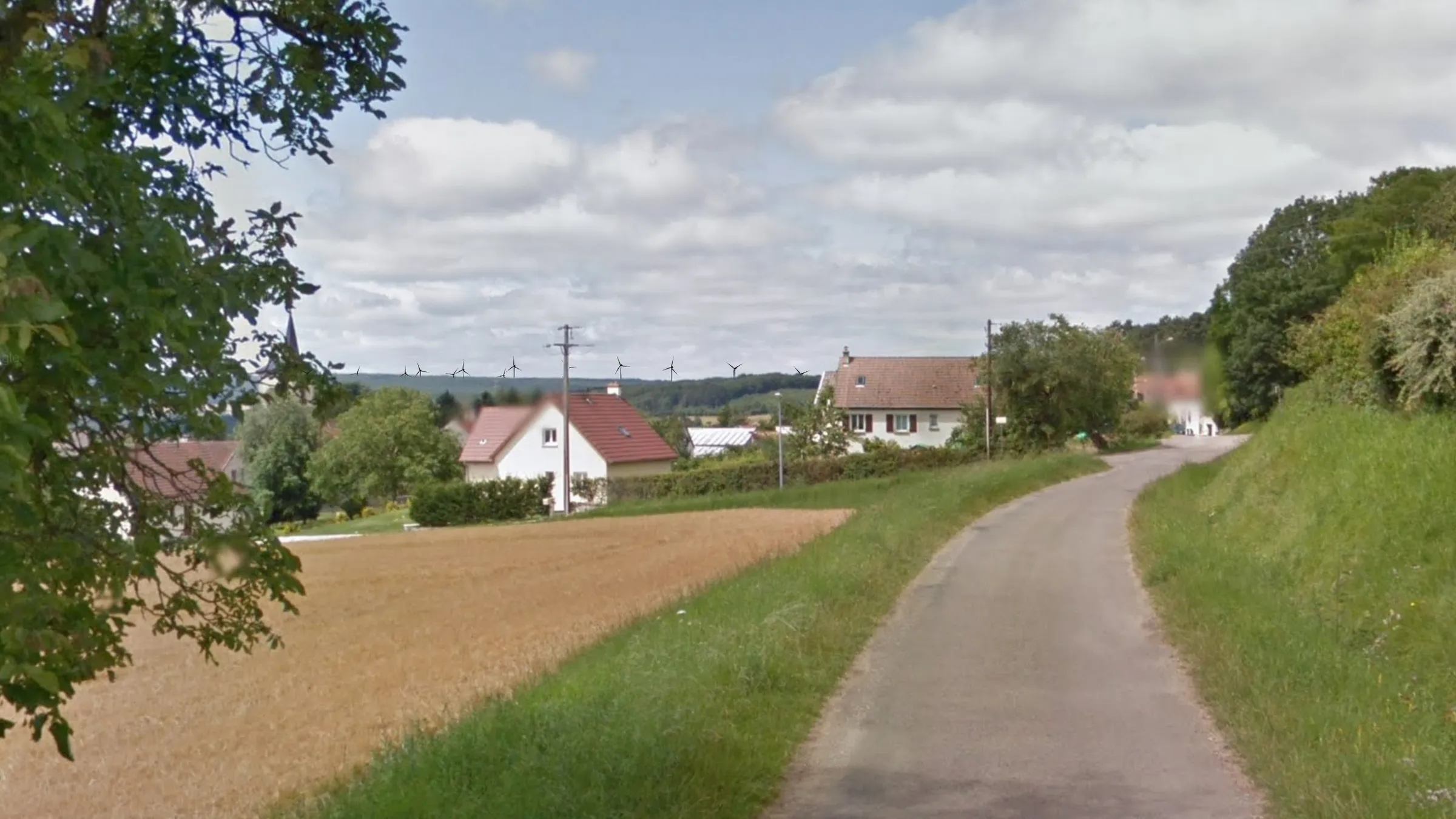 Chambœuf, Rue de Sus Amont
 Chambœuf nord, Rude de La Barre / R8Video
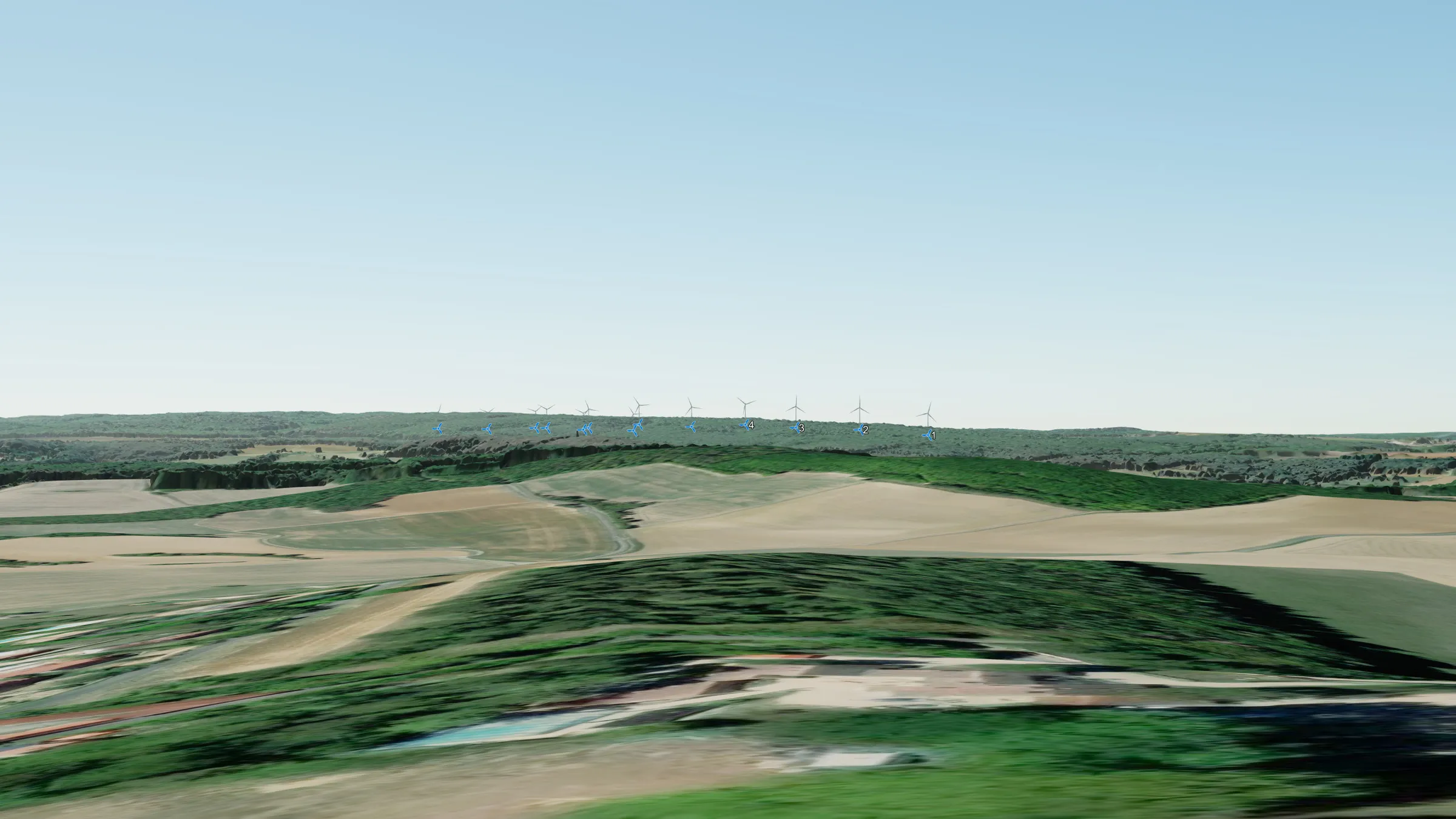 Chambœuf, le camping
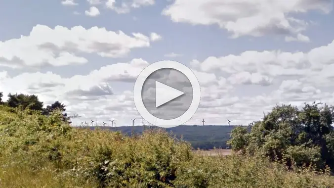 Curley estVideo
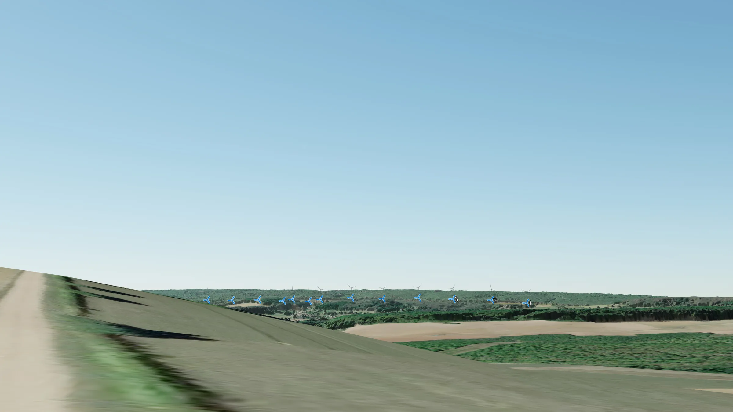 Curley est, 45°
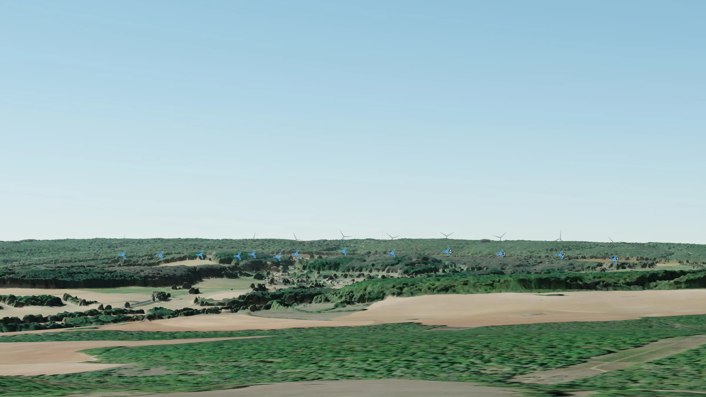 Curley, Rue de la Source 30°
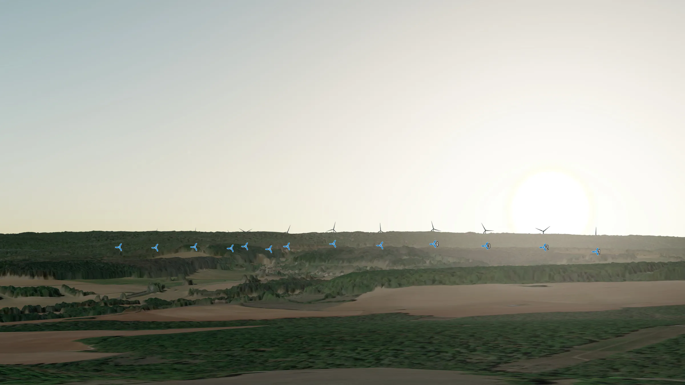 Curley, Rue de la Source, soir
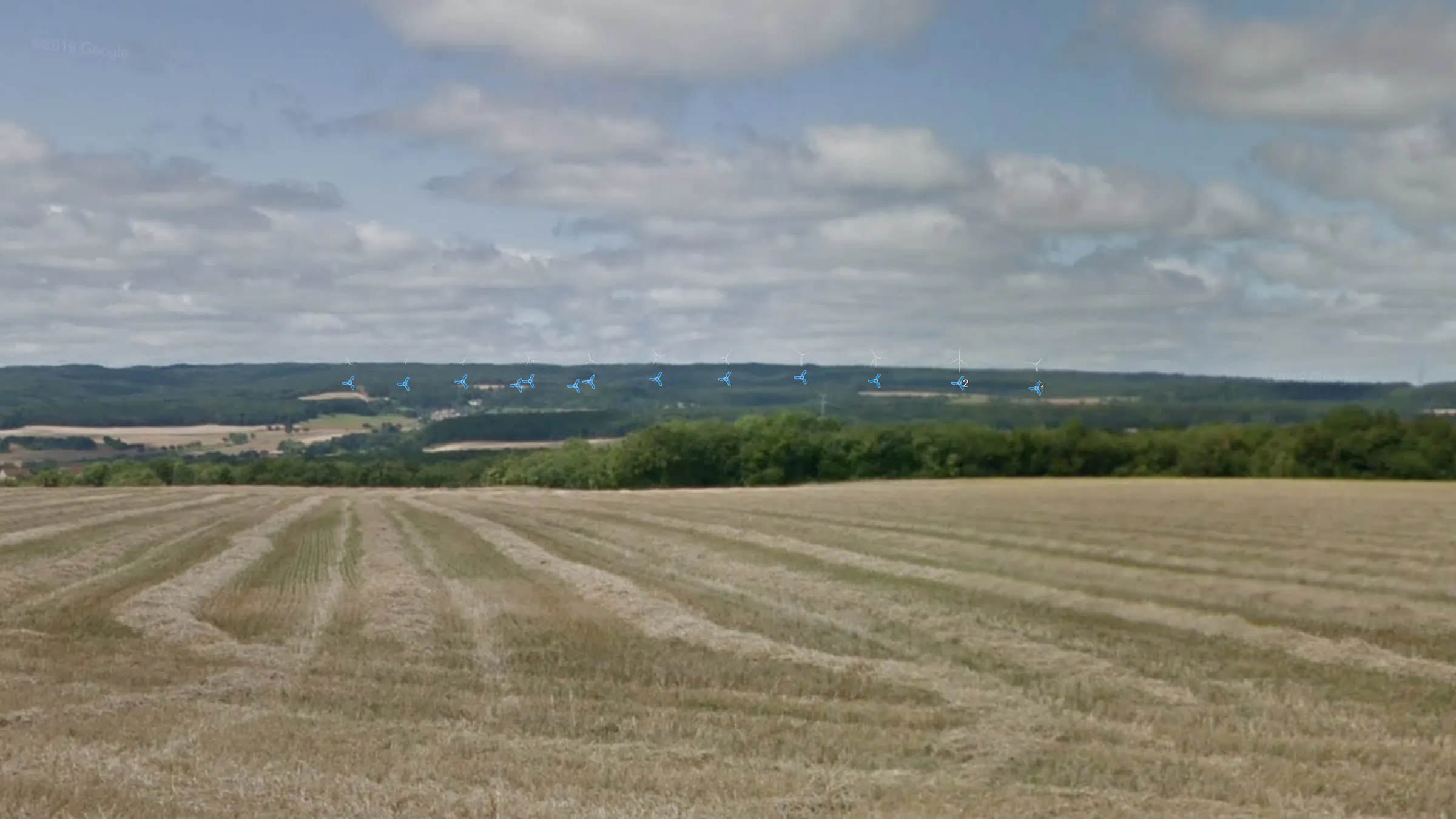 Curley, Parc Evasion
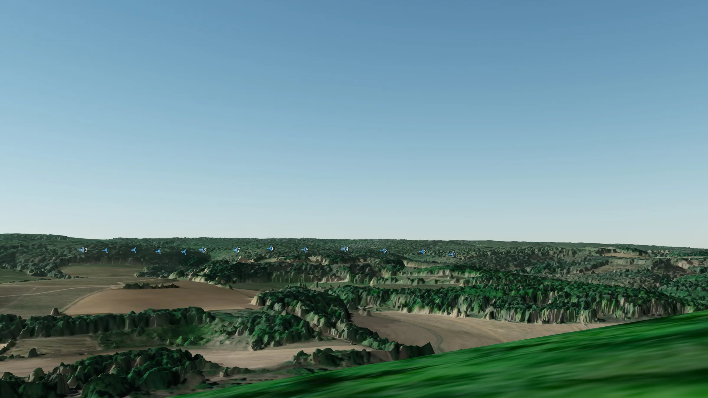 La Butte de Vergy
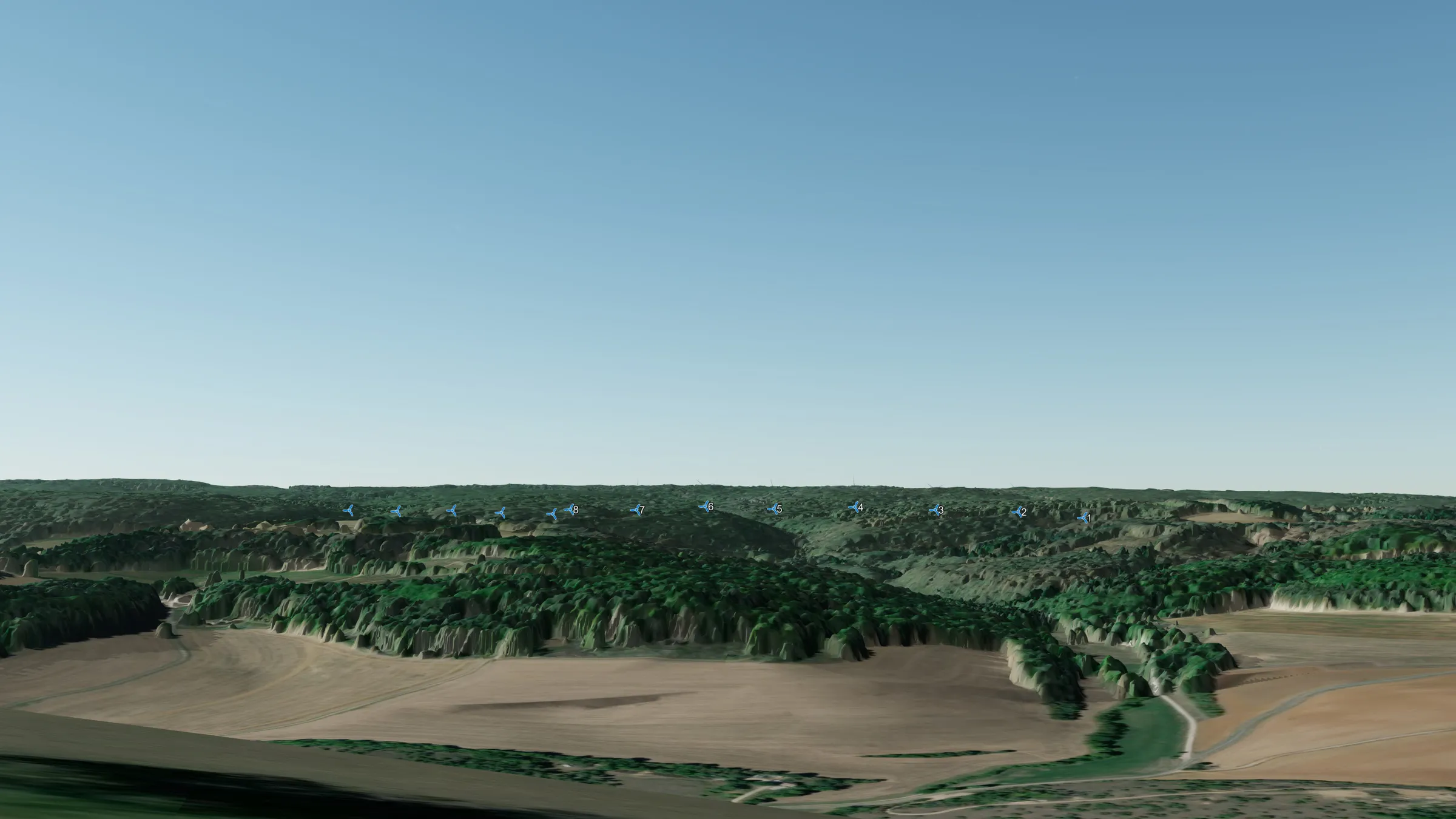 Reulle-Vergy, Église Saint Saturnin
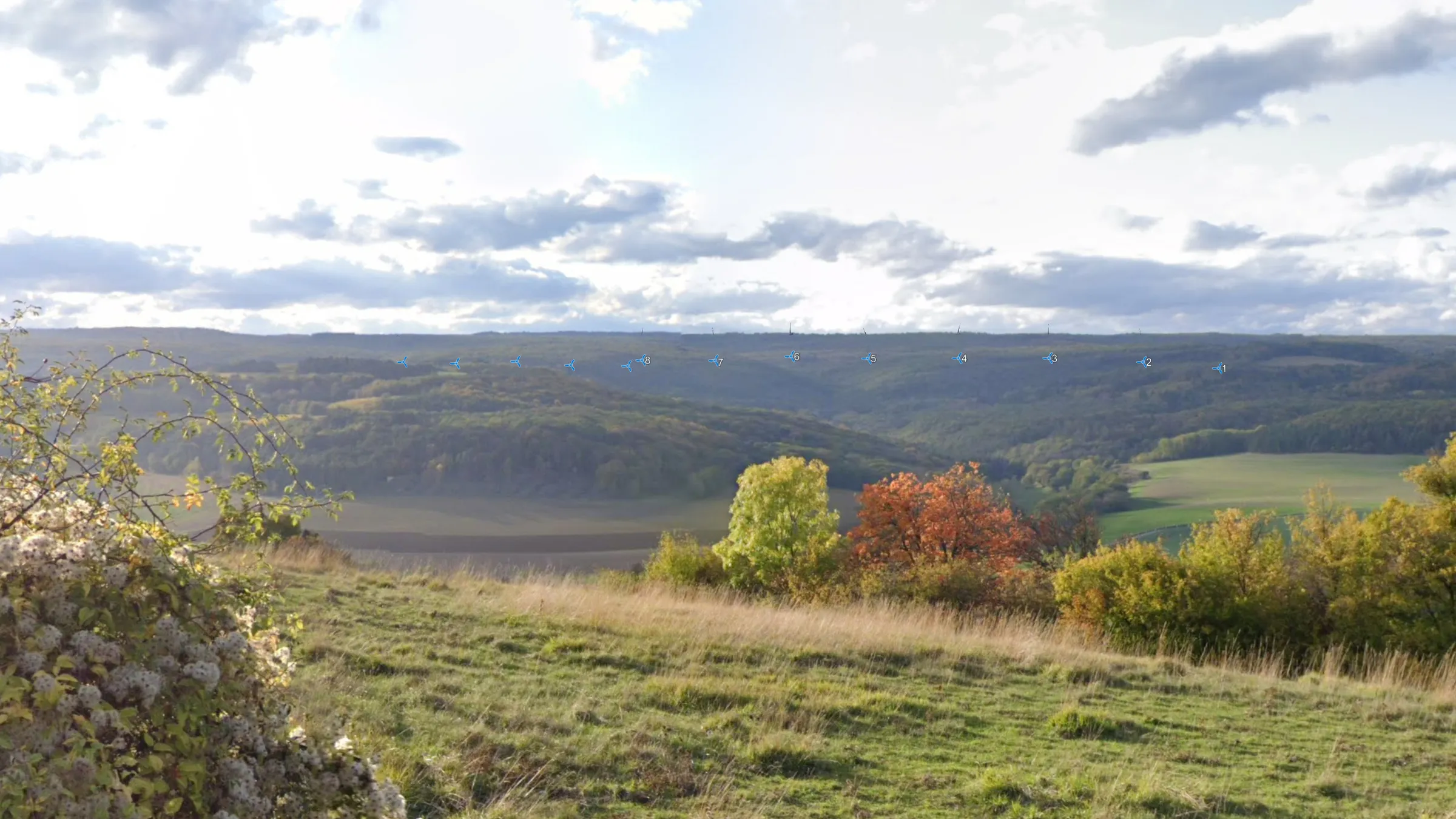 Ruelle-Vergy, Rue de Vergy